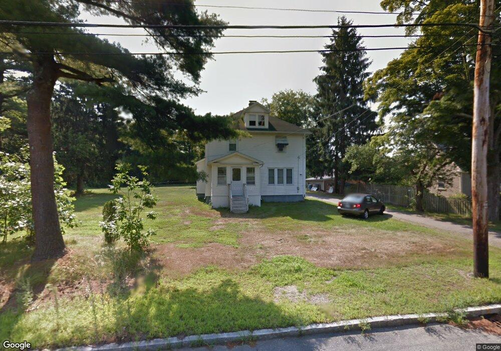
664 East St Wrentham, MA 02093
Estimated Value: $602,000 - $625,000
4
Beds
2
Baths
1,549
Sq Ft
$398/Sq Ft
Est. Value
About This Home
This home is located at 664 East St, Wrentham, MA 02093 and is currently estimated at $615,879, approximately $397 per square foot. 664 East St is a home located in Norfolk County with nearby schools including Delaney Elementary School, Charles E Roderick, and Foxborough Regional Charter School.
Create a Home Valuation Report for This Property
The Home Valuation Report is an in-depth analysis detailing your home's value as well as a comparison with similar homes in the area
Home Values in the Area
Average Home Value in this Area
Tax History Compared to Growth
Tax History
| Year | Tax Paid | Tax Assessment Tax Assessment Total Assessment is a certain percentage of the fair market value that is determined by local assessors to be the total taxable value of land and additions on the property. | Land | Improvement |
|---|---|---|---|---|
| 2025 | $6,277 | $541,600 | $265,400 | $276,200 |
| 2024 | $6,004 | $500,300 | $265,400 | $234,900 |
| 2023 | $5,960 | $472,300 | $241,300 | $231,000 |
| 2022 | $5,580 | $408,200 | $217,300 | $190,900 |
| 2021 | $5,378 | $382,200 | $194,100 | $188,100 |
| 2020 | $5,321 | $373,400 | $177,100 | $196,300 |
| 2019 | $5,188 | $367,400 | $177,100 | $190,300 |
| 2018 | $4,571 | $321,000 | $177,400 | $143,600 |
| 2017 | $4,346 | $305,000 | $173,900 | $131,100 |
| 2016 | $4,173 | $292,200 | $168,900 | $123,300 |
| 2015 | $3,838 | $256,200 | $147,600 | $108,600 |
| 2014 | $3,798 | $248,100 | $142,000 | $106,100 |
Source: Public Records
Map
Nearby Homes
- 25 Foxboro Rd
- 1 Lorraine Metcalf Dr
- 270 Dedham St
- 46 Weber Farm Rd Unit 46
- 8 Conway Ln
- 10 Tilting Rock Rd
- 7 Hill St Unit 10
- 7 Hill St Unit 11
- 11 Goodwin Dr
- 71 Pond St
- 15 Nature View Dr
- 10 Nature View Dr
- 10 W Birch Rd
- 48 Mirror Lake Ave
- 483 Thurston St
- 6 Forest Grove Ave
- 246 Forest Grove Ave
- 5 Post Rd
- 319 Taunton St
- 383 Franklin St