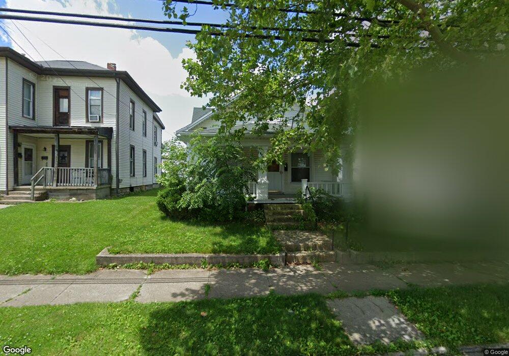
664 Fair Rd Sidney, OH 45365
Estimated Value: $135,954 - $179,000
3
Beds
2
Baths
2,906
Sq Ft
$54/Sq Ft
Est. Value
About This Home
This home is located at 664 Fair Rd, Sidney, OH 45365 and is currently estimated at $155,989, approximately $53 per square foot. 664 Fair Rd is a home located in Shelby County with nearby schools including Sidney High School, Holy Angels Catholic School, and Christian Academy Schools.
Ownership History
Date
Name
Owned For
Owner Type
Purchase Details
Closed on
Aug 23, 2013
Sold by
Barhorst Jean E
Bought by
Leary Devin M O
Current Estimated Value
Home Financials for this Owner
Home Financials are based on the most recent Mortgage that was taken out on this home.
Original Mortgage
$70,408
Outstanding Balance
$52,651
Interest Rate
4.53%
Mortgage Type
New Conventional
Estimated Equity
$103,338
Purchase Details
Closed on
Jun 1, 1992
Bought by
Barhorst Jean
Create a Home Valuation Report for This Property
The Home Valuation Report is an in-depth analysis detailing your home's value as well as a comparison with similar homes in the area
Home Values in the Area
Average Home Value in this Area
Purchase History
| Date | Buyer | Sale Price | Title Company |
|---|---|---|---|
| Leary Devin M O | $69,000 | Partners Land Title Agency | |
| Barhorst Jean | -- | -- |
Source: Public Records
Mortgage History
| Date | Status | Borrower | Loan Amount |
|---|---|---|---|
| Open | Leary Devin M O | $70,408 |
Source: Public Records
Tax History
| Year | Tax Paid | Tax Assessment Tax Assessment Total Assessment is a certain percentage of the fair market value that is determined by local assessors to be the total taxable value of land and additions on the property. | Land | Improvement |
|---|---|---|---|---|
| 2024 | $1,167 | $33,970 | $2,710 | $31,260 |
| 2023 | $1,183 | $33,970 | $2,710 | $31,260 |
| 2022 | $1,040 | $26,210 | $2,070 | $24,140 |
| 2021 | $1,051 | $26,210 | $2,070 | $24,140 |
| 2020 | $1,051 | $26,210 | $2,070 | $24,140 |
| 2019 | $941 | $23,570 | $1,760 | $21,810 |
| 2018 | $928 | $23,570 | $1,760 | $21,810 |
| 2017 | $926 | $23,570 | $1,760 | $21,810 |
| 2016 | $868 | $22,050 | $1,760 | $20,290 |
| 2015 | $871 | $22,050 | $1,760 | $20,290 |
| 2014 | $871 | $22,050 | $1,760 | $20,290 |
| 2013 | $548 | $21,570 | $1,760 | $19,810 |
Source: Public Records
Map
Nearby Homes
- 649 Fair Rd
- 610 Fair Rd
- 707 Chestnut Ave
- 900 Center St
- 900 Center Ave
- 812 Chestnut Ave
- 917 Mckinley Ave
- 848 Crescent Dr
- 846 Crescent Dr Unit 848
- 109 E Water St
- 0 Sharp Unit 1043619
- 0 County Road 25a Rd Unit 951259
- 0 County Road 25a Rd Unit 1043551
- 0 Russell Unit 1043361
- 508 Urban Ave
- 1116 Taft St
- 105 N Ohio Ave Unit C
- 230 N Pomeroy Ave
- 107 N Ohio Ave Unit C
- 1252 Spruce Ave
- 668 Fair Rd Unit 670
- 662 Fair Rd
- 674 Fair Rd
- 658 Fair Rd
- 644 S Highland Ave
- 640 S Highland Ave
- 650 S Highland Ave
- 684 Fair Rd
- 636 S Highland Ave
- 632 S Highland Ave
- 644 Fair Rd
- 628 S Highland Ave
- 625 Foraker Ave
- 627 Foraker Ave
- 703 Foraker Ave
- 624 S Highland Ave
- 707 Foraker Ave
- 635 S Highland Ave
- 639 Fair Rd
- 704 Spruce Ave
Your Personal Tour Guide
Ask me questions while you tour the home.