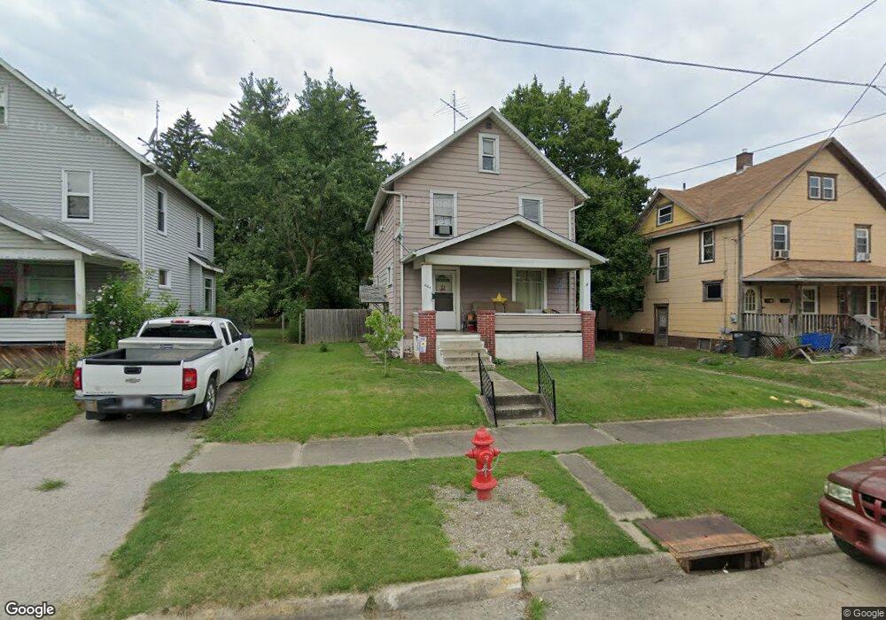
664 Garfield Ave Alliance, OH 44601
Estimated Value: $85,744 - $90,000
3
Beds
1
Bath
1,144
Sq Ft
$77/Sq Ft
Est. Value
About This Home
This home is located at 664 Garfield Ave, Alliance, OH 44601 and is currently estimated at $88,186, approximately $77 per square foot. 664 Garfield Ave is a home located in Stark County with nearby schools including Alliance Early Learning School, Alliance Intermediate School at Northside, and Alliance Middle School.
Ownership History
Date
Name
Owned For
Owner Type
Purchase Details
Closed on
Mar 18, 2009
Sold by
Allison Judith Ann and Allison Frank
Bought by
Graham Kristin L
Current Estimated Value
Home Financials for this Owner
Home Financials are based on the most recent Mortgage that was taken out on this home.
Original Mortgage
$29,456
Outstanding Balance
$18,799
Interest Rate
5.2%
Mortgage Type
FHA
Estimated Equity
$69,387
Purchase Details
Closed on
Nov 22, 2004
Sold by
Erchick Julius S and Erchick Victoria
Bought by
Allison Judith Ann and Hunt Carol Jean
Create a Home Valuation Report for This Property
The Home Valuation Report is an in-depth analysis detailing your home's value as well as a comparison with similar homes in the area
Home Values in the Area
Average Home Value in this Area
Purchase History
| Date | Buyer | Sale Price | Title Company |
|---|---|---|---|
| Graham Kristin L | $30,000 | Attorney | |
| Allison Judith Ann | -- | Attorney | |
| Allison Judith Ann | -- | -- |
Source: Public Records
Mortgage History
| Date | Status | Borrower | Loan Amount |
|---|---|---|---|
| Open | Graham Kristin L | $29,456 |
Source: Public Records
Tax History Compared to Growth
Tax History
| Year | Tax Paid | Tax Assessment Tax Assessment Total Assessment is a certain percentage of the fair market value that is determined by local assessors to be the total taxable value of land and additions on the property. | Land | Improvement |
|---|---|---|---|---|
| 2025 | -- | $19,320 | $5,110 | $14,210 |
| 2024 | -- | $19,320 | $5,110 | $14,210 |
| 2023 | $658 | $16,380 | $5,040 | $11,340 |
| 2022 | $663 | $16,380 | $5,040 | $11,340 |
| 2021 | $663 | $16,380 | $5,040 | $11,340 |
| 2020 | $593 | $13,690 | $4,380 | $9,310 |
| 2019 | $585 | $13,690 | $4,380 | $9,310 |
| 2018 | $588 | $13,690 | $4,380 | $9,310 |
| 2017 | $434 | $9,950 | $2,980 | $6,970 |
| 2016 | $438 | $9,950 | $2,980 | $6,970 |
| 2015 | $442 | $9,950 | $2,980 | $6,970 |
| 2014 | $495 | $10,610 | $3,150 | $7,460 |
| 2013 | $247 | $10,610 | $3,150 | $7,460 |
Source: Public Records
Map
Nearby Homes
- 511 W Ely St
- 124 E Wayne St
- 710 N Freedom Ave
- 329 1/2 W Main St
- 000 Meadowbrook Ave
- 163 W Market St
- 345 W Market St
- 0 Meadowbrook Ave
- 132 S Haines Ave
- 432 Johnson Ave
- 0 Homestead Ave NE
- 11344 Walnut Ave NE
- 361 E Main St
- 000 Klinger Ave
- 427 S Union Ave
- 0 Johnson Ave NE Unit 5142926
- 14723 Bolton St NE
- 356 E Broadway St
- 652 N Webb Ave
- 140 W Summit St
- 672 Garfield Ave
- 654 Garfield Ave
- 654 Garfield Ave
- 634 Garfield Ave
- 634 Garfield Ave
- 276 Selby St
- 653 N Lincoln Ave
- 673 N Lincoln Ave
- 643 N Lincoln Ave
- 628 Garfield Ave
- 712 Garfield Ave
- 281 Selby St
- 635 N Lincoln Ave
- 705 N Lincoln Ave
- 260 Selby St
- 623 N Lincoln Ave
- 707 Garfield Ave
- 315 W Wayne St
- 627 Garfield Ave
- 307 W Wayne St