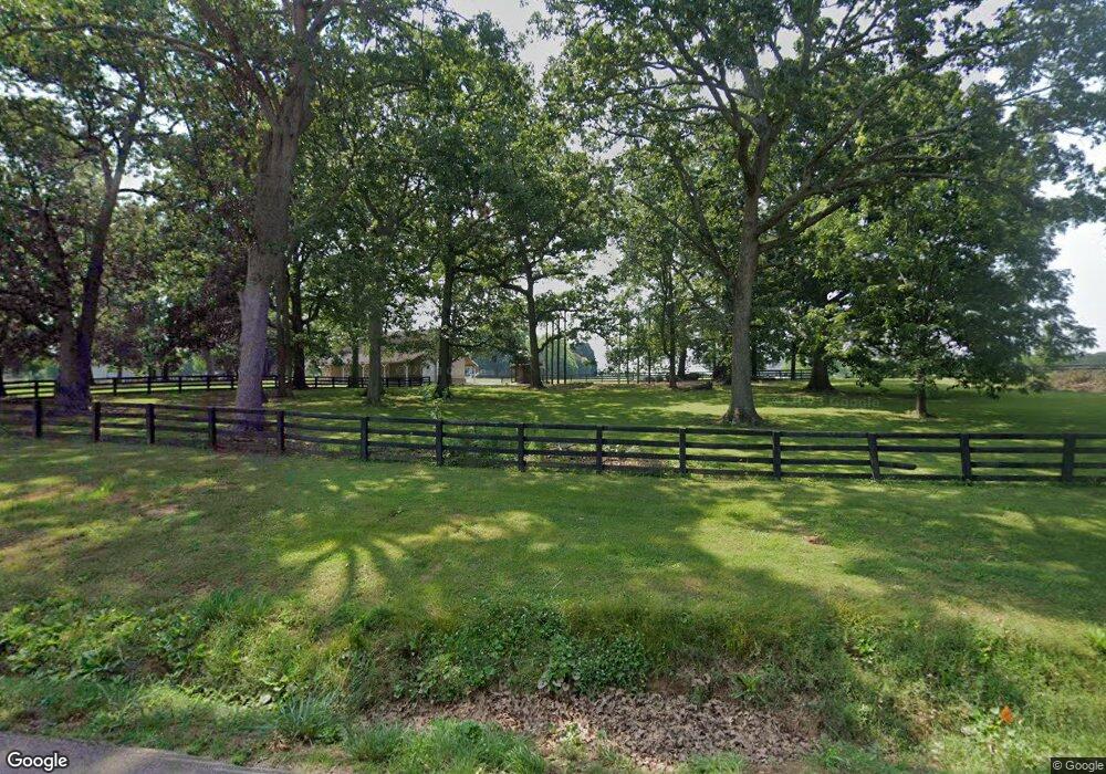
664 James Powers Rd Monroe, GA 30656
Estimated Value: $524,000 - $671,968
Studio
--
Bath
2,724
Sq Ft
$225/Sq Ft
Est. Value
About This Home
This home is located at 664 James Powers Rd, Monroe, GA 30656 and is currently estimated at $611,742, approximately $224 per square foot. 664 James Powers Rd is a home located in Walton County with nearby schools including Walker Park Elementary School, Carver Middle School, and Monroe Area High School.
Ownership History
Date
Name
Owned For
Owner Type
Purchase Details
Closed on
May 12, 2019
Sold by
Mobley Dennis Lloyd
Bought by
Mobley Dennis Lloyd and Mobley Heather Mechel
Current Estimated Value
Purchase Details
Closed on
Feb 2, 2013
Sold by
Milligan Jane
Bought by
Mobley Dennis
Create a Home Valuation Report for This Property
The Home Valuation Report is an in-depth analysis detailing your home's value as well as a comparison with similar homes in the area
Home Values in the Area
Average Home Value in this Area
Purchase History
| Date | Buyer | Sale Price | Title Company |
|---|---|---|---|
| Mobley Dennis Lloyd | -- | -- | |
| Mobley Dennis | $40,000 | -- |
Source: Public Records
Tax History
| Year | Tax Paid | Tax Assessment Tax Assessment Total Assessment is a certain percentage of the fair market value that is determined by local assessors to be the total taxable value of land and additions on the property. | Land | Improvement |
|---|---|---|---|---|
| 2025 | $5,409 | $230,372 | $95,440 | $134,932 |
| 2024 | $5,409 | $222,572 | $95,440 | $127,132 |
| 2023 | $4,859 | $209,532 | $90,640 | $118,892 |
| 2022 | $5,241 | $191,012 | $84,840 | $106,172 |
| 2021 | $4,579 | $157,652 | $65,920 | $91,732 |
| 2020 | $4,399 | $146,932 | $57,240 | $89,692 |
| 2019 | $4,159 | $134,532 | $50,880 | $83,652 |
| 2018 | $4,080 | $134,532 | $50,880 | $83,652 |
| 2017 | $4,560 | $132,332 | $50,880 | $81,452 |
| 2016 | $3,671 | $114,268 | $45,080 | $69,188 |
| 2015 | $3,608 | $108,748 | $45,080 | $63,668 |
| 2014 | $3,425 | $99,808 | $34,680 | $65,128 |
Source: Public Records
Map
Nearby Homes
- 3055A Spring Hill Dr
- 810 N Hampton Way
- 3055 Spring Hill Dr
- 436 James Powers Rd
- 815 N Hampton Way
- 2321 Pebble Trail
- 825 N Hampton Way
- 2316 Pebble Trail
- 2133 Stonegate Way
- 2136 Stonegate Way
- 2113 Stonegate Way
- (GA)The Cooper | Side Entry Plan at Stonegate
- (GA)The Kirkland | Side Entry Plan at Stonegate
- (GA)The Woodmont | Side Entry Plan at Stonegate
- The Riley | Side Entry Plan at Stonegate
- 1400 Bradford Ln
- 1461 Bradford Ln
- 2024 Jefferson Hall Dr
- 1465 Bradford Ln
- 3435 Stock Rd SW
- 624 James Powers Rd
- 804 James Powers Rd
- 784 James Powers Rd
- 2911 Dewey Hogan Rd
- 864 James Powers Rd
- 803 James Powers Rd
- 763 James Powers Rd
- 733 James Powers Rd
- 833 James Powers Rd
- 703 James Powers Rd
- 653 James Powers Rd
- 879 James Powers Rd
- 693 James Powers Rd
- 573 James Powers Rd
- 899 James Powers Rd
- 564 James Powers Rd
- 924 James Powers Rd
- 2850 Brookside Dr
- 583 James Powers Rd SW
- 3094 Spring Hill Dr
Your Personal Tour Guide
Ask me questions while you tour the home.
