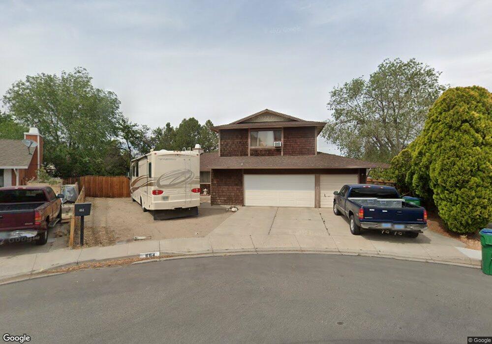
664 Sheffield Ct Sparks, NV 89431
McCarran Boulevard-Probasco NeighborhoodEstimated Value: $466,000 - $505,000
4
Beds
3
Baths
1,878
Sq Ft
$259/Sq Ft
Est. Value
About This Home
This home is located at 664 Sheffield Ct, Sparks, NV 89431 and is currently estimated at $485,751, approximately $258 per square foot. 664 Sheffield Ct is a home located in Washoe County with nearby schools including Florence Drake Elementary School, George L Dilworth Middle School, and Sparks High School.
Ownership History
Date
Name
Owned For
Owner Type
Purchase Details
Closed on
Mar 4, 1999
Sold by
Landis Robert L and Landis Sherry D
Bought by
Stewart Leslie J and Stewart Barbara M
Current Estimated Value
Home Financials for this Owner
Home Financials are based on the most recent Mortgage that was taken out on this home.
Original Mortgage
$144,036
Outstanding Balance
$34,889
Interest Rate
6.76%
Mortgage Type
FHA
Estimated Equity
$450,862
Purchase Details
Closed on
Apr 11, 1997
Sold by
Landis Robert L and Landis Sherry D
Bought by
Landis Robert L and Landis Sherry D
Create a Home Valuation Report for This Property
The Home Valuation Report is an in-depth analysis detailing your home's value as well as a comparison with similar homes in the area
Home Values in the Area
Average Home Value in this Area
Purchase History
| Date | Buyer | Sale Price | Title Company |
|---|---|---|---|
| Stewart Leslie J | $145,000 | First Centennial Title Co | |
| Landis Robert L | -- | -- |
Source: Public Records
Mortgage History
| Date | Status | Borrower | Loan Amount |
|---|---|---|---|
| Open | Stewart Leslie J | $144,036 |
Source: Public Records
Tax History Compared to Growth
Tax History
| Year | Tax Paid | Tax Assessment Tax Assessment Total Assessment is a certain percentage of the fair market value that is determined by local assessors to be the total taxable value of land and additions on the property. | Land | Improvement |
|---|---|---|---|---|
| 2025 | $1,667 | $65,080 | $33,044 | $32,036 |
| 2024 | $1,667 | $64,387 | $31,280 | $33,108 |
| 2023 | $1,619 | $63,519 | $31,437 | $32,082 |
| 2022 | $1,572 | $52,898 | $25,610 | $27,289 |
| 2021 | $1,527 | $45,368 | $17,672 | $27,696 |
| 2020 | $1,481 | $44,347 | $16,065 | $28,282 |
| 2019 | $1,437 | $44,659 | $16,853 | $27,806 |
| 2018 | $1,411 | $39,855 | $12,191 | $27,664 |
| 2017 | $1,359 | $39,003 | $10,868 | $28,135 |
| 2016 | $1,329 | $39,578 | $10,395 | $29,183 |
| 2015 | $1,329 | $38,035 | $8,474 | $29,561 |
| 2014 | $1,290 | $35,843 | $7,182 | $28,661 |
| 2013 | -- | $34,271 | $5,686 | $28,585 |
Source: Public Records
Map
Nearby Homes
- 2865 Patrice Dr
- 3104 Sandy St
- 3167 Bristle Branch Dr
- 383 E Emerson Way
- 2154 La Hacienda Dr
- 3188 Bristle Branch Dr
- 3200 Bristle Branch Dr
- 120 E Lenwood Dr
- 1044 Glen Martin Dr
- 1095 E York Way
- 2138 Rizzo Dr
- 10 Sheridan Way
- 1973 Rio Tinto Dr
- 3221 Edna Ct
- 1002 Glen Meadow Dr
- 1051 Jason Dr
- 3215 Delna Dr
- 1161 Jason Dr
- 930 Spanish Springs Rd
- 1002 Baywood Dr Unit A
- 644 Sheffield Ct
- 675 Sheffield Ct
- 653 La Grange Ct
- 634 Sheffield Ct
- 643 La Grange Ct
- 665 Sheffield Ct
- 645 Sheffield Ct
- 614 Sheffield Ct
- 673 La Grange Ct
- 635 Sheffield Ct
- 623 La Grange Ct
- 604 Sheffield Ct
- 615 Sheffield Ct
- 708 Glen Meadow Dr
- 670 E York Way
- 712 Glen Meadow Dr
- 680 E York Way
- 704 Glen Meadow Dr
- 603 La Grange Ct
- 716 Glen Meadow Dr