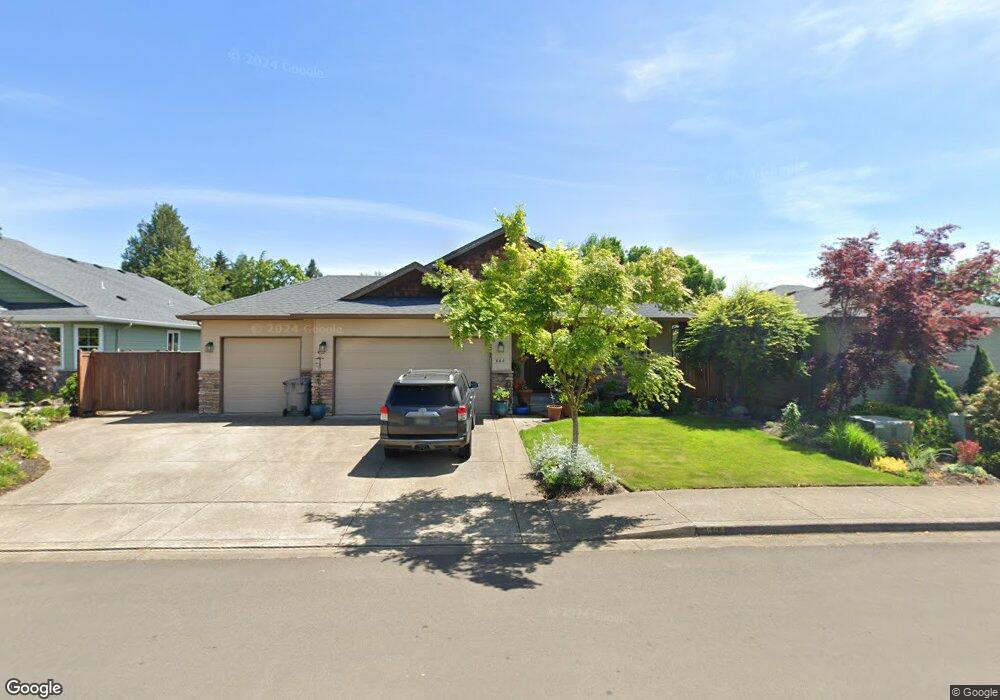
664 SW Nyssa St Junction City, OR 97448
Estimated Value: $484,000 - $493,000
3
Beds
2
Baths
1,611
Sq Ft
$304/Sq Ft
Est. Value
About This Home
This home is located at 664 SW Nyssa St, Junction City, OR 97448 and is currently estimated at $489,229, approximately $303 per square foot. 664 SW Nyssa St is a home located in Lane County with nearby schools including Junction City High School.
Ownership History
Date
Name
Owned For
Owner Type
Purchase Details
Closed on
Aug 29, 2008
Sold by
Jordan & Jordan Construction Inc
Bought by
Jellison Marci and Starr Gavin
Current Estimated Value
Home Financials for this Owner
Home Financials are based on the most recent Mortgage that was taken out on this home.
Original Mortgage
$261,250
Outstanding Balance
$171,675
Interest Rate
6.27%
Mortgage Type
Purchase Money Mortgage
Estimated Equity
$317,554
Purchase Details
Closed on
May 22, 2007
Sold by
Murry Ross
Bought by
Jordan & Jordan Construction Inc
Home Financials for this Owner
Home Financials are based on the most recent Mortgage that was taken out on this home.
Original Mortgage
$57,000
Interest Rate
6.18%
Mortgage Type
Commercial
Create a Home Valuation Report for This Property
The Home Valuation Report is an in-depth analysis detailing your home's value as well as a comparison with similar homes in the area
Home Values in the Area
Average Home Value in this Area
Purchase History
| Date | Buyer | Sale Price | Title Company |
|---|---|---|---|
| Jellison Marci | $275,000 | Cascade Title Co | |
| Jordan & Jordan Construction Inc | $76,000 | Western Title & Escrow Compa |
Source: Public Records
Mortgage History
| Date | Status | Borrower | Loan Amount |
|---|---|---|---|
| Open | Jellison Marci | $261,250 | |
| Previous Owner | Jordan & Jordan Construction Inc | $57,000 |
Source: Public Records
Tax History Compared to Growth
Tax History
| Year | Tax Paid | Tax Assessment Tax Assessment Total Assessment is a certain percentage of the fair market value that is determined by local assessors to be the total taxable value of land and additions on the property. | Land | Improvement |
|---|---|---|---|---|
| 2024 | $4,748 | $278,633 | -- | -- |
| 2023 | $4,748 | $270,518 | $0 | $0 |
| 2022 | $4,430 | $262,639 | $0 | $0 |
| 2021 | $4,341 | $254,990 | $0 | $0 |
| 2020 | $4,203 | $247,564 | $0 | $0 |
| 2019 | $4,055 | $240,354 | $0 | $0 |
| 2018 | $3,938 | $226,557 | $0 | $0 |
| 2017 | $3,800 | $226,557 | $0 | $0 |
| 2016 | $3,694 | $219,958 | $0 | $0 |
| 2015 | $3,270 | $213,551 | $0 | $0 |
| 2014 | $3,282 | $207,331 | $0 | $0 |
Source: Public Records
Map
Nearby Homes
- 1049 Prairie Meadows
- 1036 Kaylee Ave
- 191 SW Quince St
- 237 Sumac Ct
- 188 Sumac Ct
- 1085 W 1st Ave Unit 8
- 310 Pitney Ln Unit 25
- 351 Juniper St
- 617 Juniper St
- 1225 W 10th Ave Unit 50
- 1225 W 10th Ave Unit 28
- 1225 W 10th Ave Unit 26
- 815 Nyssa St
- 1816 W 4th Ave
- 850 Spruce St
- 985 Maple St
- 930 Holly St
- 0 Holly St
- 260 Crona St
- 1011 Rose St
- 642 SW Nyssa St
- 686 SW Nyssa St
- 620 SW Nyssa St
- 904 SW Coral St
- 903 Ladd Ave
- 0 Prairie Rd Unit 23337951
- 0 Prairie Rd Unit 23031796
- 0 Prairie Rd Unit 16018363
- 0 Prairie Rd Unit 9055981
- 0 Prairie Rd Unit 10033111
- 0 Prairie Rd Unit Lt402 11661608
- 0 Prairie Rd Unit Lt403 11514257
- 0 Prairie Rd Unit Lt302 11290904
- 0 Prairie Rd Unit Lt301 11118850
- 0 Prairie Rd Unit 14528436
- 0 Prairie Rd Unit 403
- 93829 Prairie Rd
- 93841 Prairie Rd
- 916 SW Coral St
- 915 Ladd Ave