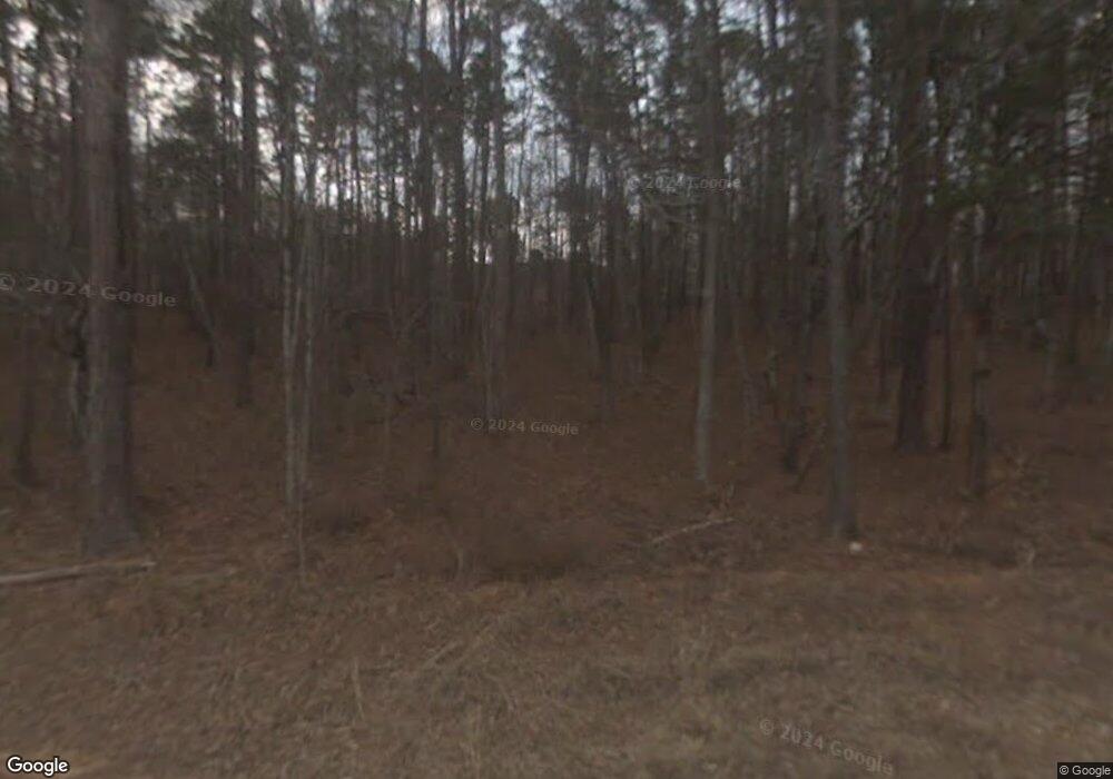
664 Williams Rd Lincolnton, GA 30817
Estimated Value: $145,548
1
Bed
1
Bath
1,056
Sq Ft
$138/Sq Ft
Est. Value
About This Home
This home is located at 664 Williams Rd, Lincolnton, GA 30817 and is currently estimated at $145,548, approximately $137 per square foot. 664 Williams Rd is a home located in Wilkes County with nearby schools including Washington-Wilkes Elementary School, Washington-Wilkes Primary School, and Washington-Wilkes Middle School.
Ownership History
Date
Name
Owned For
Owner Type
Purchase Details
Closed on
Jan 30, 2012
Sold by
Alexander Paula
Bought by
Lewis Roger C
Current Estimated Value
Purchase Details
Closed on
Jul 30, 1999
Sold by
Williams Alan B
Bought by
Lewis Roger C and Lewis Inez
Purchase Details
Closed on
Dec 1, 1985
Bought by
Williams Alan B
Purchase Details
Closed on
Jan 1, 1979
Purchase Details
Closed on
Jan 1, 1973
Create a Home Valuation Report for This Property
The Home Valuation Report is an in-depth analysis detailing your home's value as well as a comparison with similar homes in the area
Home Values in the Area
Average Home Value in this Area
Purchase History
| Date | Buyer | Sale Price | Title Company |
|---|---|---|---|
| Lewis Roger C | -- | -- | |
| Lewis Roger C | -- | -- | |
| Lewis Roger C | -- | -- | |
| Lewis Roger C | $138,500 | -- | |
| Williams Alan B | $28,000 | -- | |
| -- | $30,000 | -- | |
| -- | $29,000 | -- |
Source: Public Records
Tax History Compared to Growth
Tax History
| Year | Tax Paid | Tax Assessment Tax Assessment Total Assessment is a certain percentage of the fair market value that is determined by local assessors to be the total taxable value of land and additions on the property. | Land | Improvement |
|---|---|---|---|---|
| 2024 | $688 | $31,323 | $11,658 | $19,665 |
| 2023 | $675 | $31,323 | $11,658 | $19,665 |
| 2022 | $765 | $34,504 | $14,572 | $19,932 |
| 2021 | $785 | $34,504 | $14,572 | $19,932 |
| 2020 | $800 | $34,512 | $14,572 | $19,940 |
| 2019 | $703 | $31,024 | $14,572 | $16,452 |
| 2018 | $901 | $31,024 | $14,572 | $16,452 |
| 2017 | $901 | $31,024 | $14,572 | $16,452 |
| 2016 | $681 | $31,024 | $14,572 | $16,452 |
| 2015 | -- | $14,572 | $14,572 | $16,452 |
| 2014 | -- | $31,025 | $14,572 | $16,452 |
| 2013 | -- | $32,196 | $14,572 | $17,623 |
Source: Public Records
Map
Nearby Homes
- 0 Hephzibah Church Rd
- LOT3 Hephzibah Church Rd
- LOT2 Hephzibah Church Rd
- LOT5 Hephzibah Church Rd
- LOT4 Hephzibah Church Rd
- 1312 Amity-Woodlawn Rd
- 2534 Georgia 220
- 5570 Coxville Rd
- 00 Crook Rd
- 0000 Mary Boyd Rd
- 5532/5556 Oak Rd
- 0 Longleaf Dr
- 5608 Lincolnton Rd NE
- 8010 Lakeside Dr
- 1987 Crook Rd
- 0 Hwy 220 Tract A
- 0 Ga-220 Unit 541923
- 7333 Lakeside Dr
- 0 Crook Rd Unit 10643680
- 7622 Winfield Hills Rd
- 714 Williams Rd
- 761 Williams Rd
- 675 Williams Rd
- 668 Williams Rd
- 766 Williams Rd
- 4535 Greenwood Church Rd
- 1030 Williams Rd
- 00 Greenwood Church Rd
- 0 Greenwood Church Rd
- 4905 Thomson Hwy
- 4536 Greenwood Church Rd
- 4601 Greenwood Church Rd
- 1025 Williams Rd
- 622 Williams Rd
- 4618 Greenwood Church Rd
- 4876 Thomson Hwy
- 4658 Greenwood Church Rd
- 5086 Thomson Hwy
- 4988 Thomson Hwy
- 2929 Amity Woodlawn Rd
