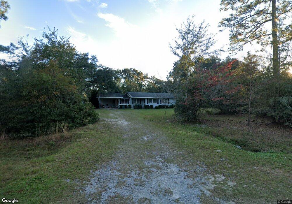
664 Worth Groover Rd Hinesville, GA 31313
Estimated Value: $162,000 - $219,000
3
Beds
2
Baths
1,100
Sq Ft
$178/Sq Ft
Est. Value
About This Home
This home is located at 664 Worth Groover Rd, Hinesville, GA 31313 and is currently estimated at $195,745, approximately $177 per square foot. 664 Worth Groover Rd is a home located in Liberty County with nearby schools including Taylors Creek Elementary School, Lewis Frasier Middle School, and Bradwell Institute.
Ownership History
Date
Name
Owned For
Owner Type
Purchase Details
Closed on
Jul 30, 2013
Sold by
Groover Donna M
Bought by
Dowd Matthew Tyler
Current Estimated Value
Purchase Details
Closed on
Nov 9, 2011
Sold by
Groover Guy L
Bought by
Groover Mildred A
Purchase Details
Closed on
May 22, 2002
Sold by
Groover Hinton Worth Est
Bought by
Groover Olive L
Purchase Details
Closed on
Jan 1, 1944
Bought by
Groover Hinton Worth
Create a Home Valuation Report for This Property
The Home Valuation Report is an in-depth analysis detailing your home's value as well as a comparison with similar homes in the area
Home Values in the Area
Average Home Value in this Area
Purchase History
| Date | Buyer | Sale Price | Title Company |
|---|---|---|---|
| Dowd Matthew Tyler | $62,500 | -- | |
| Groover Mildred A | -- | -- | |
| Groover Olive L | -- | -- | |
| Groover Hinton Worth | -- | -- |
Source: Public Records
Mortgage History
| Date | Status | Borrower | Loan Amount |
|---|---|---|---|
| Closed | Dowd Matthew Tyler | $0 |
Source: Public Records
Tax History Compared to Growth
Tax History
| Year | Tax Paid | Tax Assessment Tax Assessment Total Assessment is a certain percentage of the fair market value that is determined by local assessors to be the total taxable value of land and additions on the property. | Land | Improvement |
|---|---|---|---|---|
| 2024 | $1,716 | $40,365 | $3,268 | $37,097 |
| 2023 | $1,716 | $36,193 | $3,268 | $32,925 |
| 2022 | $1,316 | $29,682 | $2,970 | $26,712 |
| 2021 | $1,214 | $27,134 | $2,970 | $24,164 |
| 2020 | $1,225 | $27,564 | $2,970 | $24,594 |
| 2019 | $1,214 | $27,994 | $2,970 | $25,024 |
| 2018 | $1,217 | $28,424 | $2,970 | $25,454 |
| 2017 | $950 | $28,854 | $2,970 | $25,884 |
| 2016 | $1,173 | $29,284 | $2,970 | $26,314 |
| 2015 | $1,035 | $28,599 | $2,285 | $26,314 |
| 2014 | $1,035 | $29,468 | $1,583 | $27,884 |
| 2013 | -- | $28,673 | $1,981 | $26,692 |
Source: Public Records
Map
Nearby Homes
- 00 Worth Groover Rd
- 271 Silver Hill Rd
- 537 Long Rd
- 1 County Line Rd
- 000 Hodges Rd
- 30 Acres Hodges Rd
- 00 Hodges Rd
- 684 Margaret Rd
- 21.57 AC John Wells Rd
- 24 Hiram Ray Rd
- 452 Hardee Rd
- 84 Oak Hill Rd
- 602 Hardee Rd NE
- 64 Hiram Ray Rd
- 124 Murrell Rd
- 3453 John Wells Rd NE
- 3453 John Wells Rd
- 86 White Oak Dr NE
- 704 Worth Groover Rd
- 607 Worth Groover Rd
- 730 Worth Groover Rd
- 625 Worth Groover Rd
- 539 Worth Groover Rd
- 523 Worth Groover Rd
- 400 Long Rd
- 475 Worth Groover Rd
- 373 Long Rd
- 438 Long Rd
- 401 Long Rd
- 368 Long Rd
- 427 Worth Groover Rd
- 412 Worth Groover Rd
- 478 Long Rd
- 389 Worth Groover Rd
- 0000 Worth Groover Rd
- 455 Long Rd
- 331 Silver Hill Rd
- 64 Long Rd