Estimated Value: $292,000 - $372,000
3
Beds
2
Baths
1,659
Sq Ft
$194/Sq Ft
Est. Value
About This Home
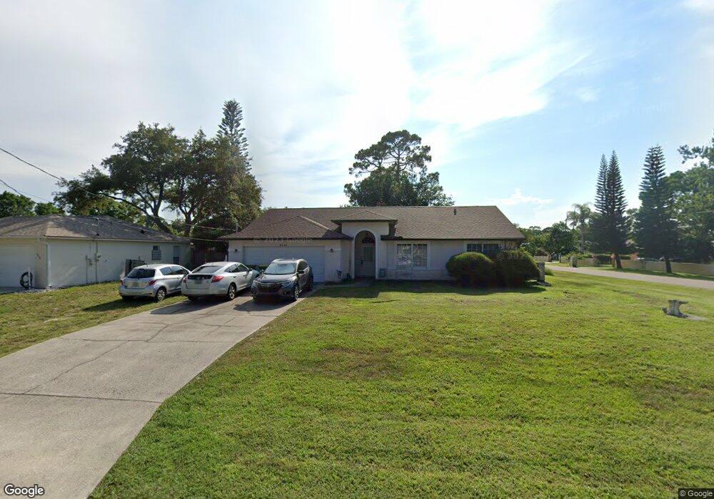
This home is located at 6640 Bancroft Ave, Cocoa, FL 32927 and is currently estimated at $321,792, approximately $193 per square foot. 6640 Bancroft Ave is a home located in Brevard County with nearby schools including Enterprise Elementary School, Space Coast Junior/Senior High School, and East Atlantic Prep of Brevard County.
Ownership History
Date
Name
Owned For
Owner Type
Purchase Details
Closed on
Sep 14, 2006
Sold by
Stanton Richard D and Stanton Rita A
Bought by
Hadley Robert J and Hadley Amy R
Current Estimated Value
Home Financials for this Owner
Home Financials are based on the most recent Mortgage that was taken out on this home.
Original Mortgage
$186,000
Interest Rate
6.58%
Purchase Details
Closed on
Apr 30, 2004
Sold by
Shimoda Sachi
Bought by
Stanton Richard D and Stanton Rita A
Create a Home Valuation Report for This Property
The Home Valuation Report is an in-depth analysis detailing your home's value as well as a comparison with similar homes in the area
Home Values in the Area
Average Home Value in this Area
Purchase History
| Date | Buyer | Sale Price | Title Company |
|---|---|---|---|
| Hadley Robert J | $179,900 | Attorney | |
| Stanton Richard D | $102,000 | Space Coast Title Company |
Source: Public Records
Mortgage History
| Date | Status | Borrower | Loan Amount |
|---|---|---|---|
| Closed | Hadley Robert J | $186,000 |
Source: Public Records
Tax History
| Year | Tax Paid | Tax Assessment Tax Assessment Total Assessment is a certain percentage of the fair market value that is determined by local assessors to be the total taxable value of land and additions on the property. | Land | Improvement |
|---|---|---|---|---|
| 2025 | $1,211 | $86,260 | -- | -- |
| 2024 | $1,175 | $83,830 | -- | -- |
| 2023 | $1,175 | $81,390 | $0 | $0 |
| 2022 | $1,092 | $79,020 | $0 | $0 |
| 2021 | $1,080 | $76,720 | $0 | $0 |
| 2020 | $1,014 | $75,670 | $0 | $0 |
| 2019 | $955 | $73,970 | $0 | $0 |
| 2018 | $956 | $72,600 | $0 | $0 |
| 2017 | $956 | $71,110 | $0 | $0 |
| 2016 | $965 | $69,650 | $18,000 | $51,650 |
| 2015 | $974 | $69,170 | $15,000 | $54,170 |
| 2014 | $979 | $68,630 | $11,000 | $57,630 |
Source: Public Records
Map
Nearby Homes
- 6581 Bancroft Ave
- 5715 Fairbridge St
- 6615 Dock Ave
- 6481 La Brea Ave
- 5555 Brandon St
- 5680 Banos Ave
- 6438 Hudson Rd
- 6760 Cairo Rd
- 6815 Bryant Rd
- 7065 Hundred Acre Dr
- 6665 Addie Ave
- 6450 Ember Ave
- 6470 Bamboo Ave
- 6545 Addie Ave
- 5601 Banos Ave
- 6105 Banyan St
- 6365 Homestead Ave
- 23-35-21-JX-B-2 Aruin St
- 00 Unknown
- 6990 Bryant Rd
- 6630 Bancroft Ave
- 6633 Emil Ave
- 6620 Bancroft Ave
- 6641 Bancroft Ave
- 6631 Bancroft Ave
- 6623 Emil Ave
- 5540 Hastings St
- 6643 Emil Ave
- 5550 Hastings St
- 6610 Bancroft Ave
- 6613 Emil Ave
- 5530 Hastings St
- 5570 Hastings St
- 6611 Bancroft Ave
- 6642 Emil Ave
- 6644 Haven Ave
- 6632 Emil Ave
- 6600 Bancroft Ave
- 6624 Haven Ave
- 6622 Emil Ave
Your Personal Tour Guide
Ask me questions while you tour the home.