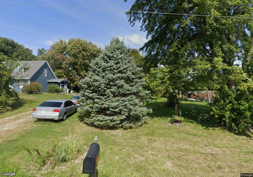
6640 E 221st St Cicero, IN 46034
Estimated Value: $307,000 - $330,000
2
Beds
2
Baths
1,144
Sq Ft
$281/Sq Ft
Est. Value
About This Home
This home is located at 6640 E 221st St, Cicero, IN 46034 and is currently estimated at $321,866, approximately $281 per square foot. 6640 E 221st St is a home located in Hamilton County with nearby schools including Hamilton Heights Primary School, Hamilton Heights Elementary School, and Hamilton Heights Middle School.
Ownership History
Date
Name
Owned For
Owner Type
Purchase Details
Closed on
Apr 8, 2005
Sold by
Collins Betty Jean
Bought by
Watts Christy Lynn and Watts Bernie Ray
Current Estimated Value
Home Financials for this Owner
Home Financials are based on the most recent Mortgage that was taken out on this home.
Original Mortgage
$78,400
Interest Rate
6.13%
Mortgage Type
Fannie Mae Freddie Mac
Create a Home Valuation Report for This Property
The Home Valuation Report is an in-depth analysis detailing your home's value as well as a comparison with similar homes in the area
Home Values in the Area
Average Home Value in this Area
Purchase History
| Date | Buyer | Sale Price | Title Company |
|---|---|---|---|
| Watts Christy Lynn | -- | None Available |
Source: Public Records
Mortgage History
| Date | Status | Borrower | Loan Amount |
|---|---|---|---|
| Previous Owner | Watts Christy Lynn | $78,400 |
Source: Public Records
Tax History Compared to Growth
Tax History
| Year | Tax Paid | Tax Assessment Tax Assessment Total Assessment is a certain percentage of the fair market value that is determined by local assessors to be the total taxable value of land and additions on the property. | Land | Improvement |
|---|---|---|---|---|
| 2024 | $1,899 | $217,400 | $112,300 | $105,100 |
| 2023 | $1,934 | $210,300 | $112,300 | $98,000 |
| 2022 | $1,904 | $201,800 | $112,300 | $89,500 |
| 2021 | $1,904 | $194,500 | $112,300 | $82,200 |
| 2020 | $1,744 | $184,200 | $112,300 | $71,900 |
| 2019 | $1,446 | $164,200 | $82,900 | $81,300 |
| 2018 | $1,422 | $161,000 | $79,700 | $81,300 |
| 2017 | $1,422 | $162,300 | $79,700 | $82,600 |
| 2016 | $2,543 | $154,900 | $79,700 | $75,200 |
| 2014 | $1,217 | $144,800 | $73,000 | $71,800 |
| 2013 | $1,217 | $137,700 | $73,000 | $64,700 |
Source: Public Records
Map
Nearby Homes
- 88 Cedar Ln
- 21450 Oakview Dr
- 21407 Hanstock Dr
- 7096 Oakbay Dr
- 7161 Oakview Cir
- 7175 Oakbay Dr
- 6011 Selby Ct
- 7020 Oakbay Dr
- 5777 Skipton Ct
- 1628 W Port Ct
- 5679 Doe Way
- 21491 Raccoon Ct
- Westchester Plan at Magnolia Ridge - Crossings
- Riverton Plan at Magnolia Ridge - Crossings
- Greenfield Plan at Magnolia Ridge - Crossings
- Hilltop Plan at Magnolia Ridge - Crossings
- Dakota Plan at Magnolia Ridge - Landings
- Prospect Plan at Magnolia Ridge - Landings
- Wall Street Plan at Magnolia Ridge - Landings
- Vestry Plan at Magnolia Ridge - Landings
- 6660 E 221st St
- 22118 Schulley Rd
- LOT#10 Schulley Rd
- 10 Schulley Rd
- 0 Schulley Rd
- 6480 E 221st St
- 6440 E 221st St
- 6390 E 221st St
- 22121 Schulley Rd
- 21800 Schulley Rd
- 6805 Sweetgrass Ln
- 121 Forest Bay Ln
- 6825 Sweetgrass Ln
- 22291 N Millcreek Rd
- 22111 N Millcreek Rd
- 4 Sweetgrass Ln
- 6810 Sweetgrass Ln
- 119 Royal Pine Ln
- 120 Royal Pine Ln
- 22261 N Millcreek Rd