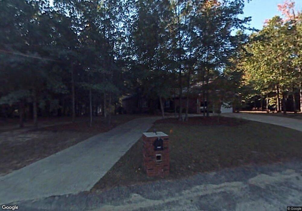
6640 S Mayrant Cir Sumter, SC 29154
Estimated Value: $246,230 - $290,000
3
Beds
2
Baths
2,121
Sq Ft
$127/Sq Ft
Est. Value
About This Home
This home is located at 6640 S Mayrant Cir, Sumter, SC 29154 and is currently estimated at $269,808, approximately $127 per square foot. 6640 S Mayrant Cir is a home located in Sumter County with nearby schools including Oakland Primary School, Shaw Heights Elementary School, and High Hills Elementary School.
Ownership History
Date
Name
Owned For
Owner Type
Purchase Details
Closed on
Dec 2, 2016
Sold by
Beth Wright Burton Leah and Beth Emily Wright
Bought by
Colonial Trust Company and William H Burton Iii 2007 Irrevocable Tr
Current Estimated Value
Purchase Details
Closed on
Aug 19, 2014
Sold by
Estate Of Edward Edwards Wright Jr
Bought by
Wright Burton Leah Beth Wright and Wright Johnson Mary Emily
Create a Home Valuation Report for This Property
The Home Valuation Report is an in-depth analysis detailing your home's value as well as a comparison with similar homes in the area
Purchase History
| Date | Buyer | Sale Price | Title Company |
|---|---|---|---|
| Colonial Trust Company | $233,000 | Attorney | |
| Wright Burton Leah Beth Wright | -- | -- |
Source: Public Records
Tax History
| Year | Tax Paid | Tax Assessment Tax Assessment Total Assessment is a certain percentage of the fair market value that is determined by local assessors to be the total taxable value of land and additions on the property. | Land | Improvement |
|---|---|---|---|---|
| 2025 | $4,029 | $12,400 | $945 | $11,455 |
| 2024 | $4,029 | $12,400 | $945 | $11,455 |
| 2023 | $4,029 | $12,250 | $960 | $11,290 |
| 2022 | $4,014 | $12,250 | $960 | $11,290 |
| 2021 | $550 | $12,250 | $960 | $11,290 |
| 2020 | $3,618 | $10,780 | $960 | $9,820 |
| 2019 | $3,582 | $10,780 | $960 | $9,820 |
| 2018 | $3,580 | $10,780 | $960 | $9,820 |
| 2017 | $3,564 | $10,780 | $960 | $9,820 |
| 2016 | $3,563 | $10,780 | $960 | $9,820 |
| 2015 | -- | $10,780 | $960 | $9,820 |
| 2014 | -- | $10,400 | $960 | $9,440 |
| 2013 | -- | $7,020 | $580 | $6,440 |
Source: Public Records
Map
Nearby Homes
- 6632 S Mayrant Cir
- 00 Stateburg Twns
- 6645 Stateburg Hills Dr
- 000 Stateburg Twns
- 5760 Brookland Dr
- 6510 Hidden Haven Rd
- 6500 Hidden Haven Rd
- 60 Delage Cir
- 6715 Hidden Haven Rd
- 6150 Broad St
- 6540 Montpelier Ln
- 5830 Arthur Rd
- 1405 Raccoon Rd
- 5925 Lost Creek Dr
- 1726 Marden Rd
- 5740 Oakhill Rd
- 1531 Peach Orchard Rd
- 6935 Depass St
- 2360 Presidio Dr Unit 13,14
- 1630 N Kings Hwy
- 6645 Deveaux Rd
- 6641 S Mayrant Cir
- 1170 Barnwell Dr
- 20 Mayrant Ct
- 6670 Deveaux Rd
- 1156 Barnwell Dr
- 6650 Deveaux Rd
- 1240 Barnwell Dr
- 6630 Deveaux Rd
- 1211 Barnwell Dr
- 1191 Barnwell Dr
- 6630 N Mayrant Cir
- 1227 Barnwell Dr
- 1132 Barnwell Dr
- 1155 Barnwell Dr
- 1139 Barnwell Dr
- 6560 Mill House Rd
- 6641 N Mayrant Cir
- 1127 Barnwell Dr
- 6633 N Mayrant Cir
Your Personal Tour Guide
Ask me questions while you tour the home.