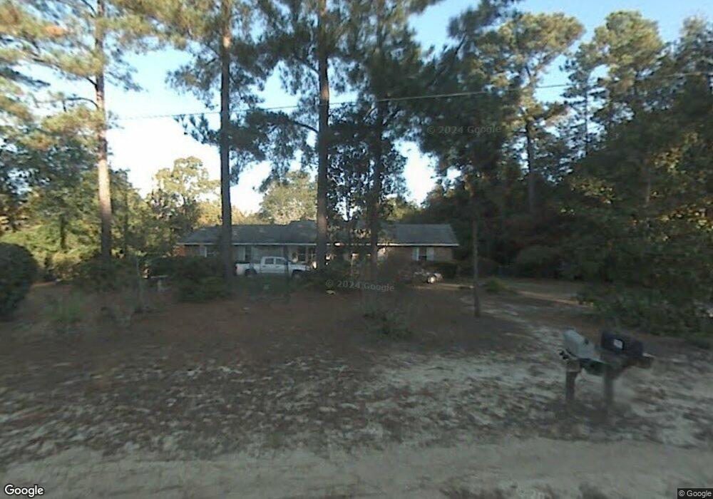
6641 S Mayrant Cir Sumter, SC 29154
Estimated Value: $166,000 - $287,000
3
Beds
2
Baths
1,929
Sq Ft
$118/Sq Ft
Est. Value
About This Home
This home is located at 6641 S Mayrant Cir, Sumter, SC 29154 and is currently estimated at $227,325, approximately $117 per square foot. 6641 S Mayrant Cir is a home located in Sumter County with nearby schools including Oakland Primary School, Shaw Heights Elementary School, and High Hills Elementary School.
Ownership History
Date
Name
Owned For
Owner Type
Purchase Details
Closed on
Mar 31, 2023
Sold by
Maslanko Karen E
Bought by
Staniec William Daniel and Staniec Cheyenne K
Current Estimated Value
Home Financials for this Owner
Home Financials are based on the most recent Mortgage that was taken out on this home.
Original Mortgage
$8,000
Outstanding Balance
$7,749
Interest Rate
6.32%
Estimated Equity
$219,576
Purchase Details
Closed on
Jun 22, 2020
Sold by
Maslanko Karen E and Estate Of John Michael Maslank
Bought by
Maslanko Karen E
Create a Home Valuation Report for This Property
The Home Valuation Report is an in-depth analysis detailing your home's value as well as a comparison with similar homes in the area
Purchase History
| Date | Buyer | Sale Price | Title Company |
|---|---|---|---|
| Staniec William Daniel | $192,000 | -- | |
| Maslanko Karen E | -- | None Available | |
| Maslanko Karen E | -- | None Listed On Document |
Source: Public Records
Mortgage History
| Date | Status | Borrower | Loan Amount |
|---|---|---|---|
| Open | Staniec William Daniel | $8,000 | |
| Open | Staniec William Daniel | $179,080 |
Source: Public Records
Tax History
| Year | Tax Paid | Tax Assessment Tax Assessment Total Assessment is a certain percentage of the fair market value that is determined by local assessors to be the total taxable value of land and additions on the property. | Land | Improvement |
|---|---|---|---|---|
| 2025 | $874 | $7,150 | $640 | $6,510 |
| 2024 | $874 | $7,150 | $640 | $6,510 |
| 2023 | $874 | $5,380 | $640 | $4,740 |
| 2022 | $872 | $5,380 | $640 | $4,740 |
| 2021 | $1,872 | $5,380 | $640 | $4,740 |
| 2020 | $820 | $4,770 | $640 | $4,130 |
| 2019 | $493 | $4,770 | $640 | $4,130 |
| 2018 | $464 | $4,770 | $640 | $4,130 |
| 2017 | $457 | $4,770 | $640 | $4,130 |
| 2016 | $483 | $4,770 | $640 | $4,130 |
| 2015 | $467 | $4,670 | $580 | $4,090 |
| 2014 | $467 | $4,670 | $580 | $4,090 |
| 2013 | -- | $4,620 | $580 | $4,040 |
Source: Public Records
Map
Nearby Homes
- 6632 S Mayrant Cir
- 6645 Stateburg Hills Dr
- 00 Stateburg Twns
- 000 Stateburg Twns
- 5760 Brookland Dr
- 6510 Hidden Haven Rd
- 6500 Hidden Haven Rd
- 60 Delage Cir
- 6840 Hidden Haven Rd
- 6715 Hidden Haven Rd
- 6150 Broad St
- 6540 Montpelier Ln
- 5830 Arthur Rd
- 1335 Raccoon Rd
- 1405 Raccoon Rd
- 5925 Lost Creek Dr
- 1726 Marden Rd
- 1385 Peach Orchard Rd
- 5740 Oakhill Rd
- 1531 Peach Orchard Rd
- 20 Mayrant Ct
- 1240 Barnwell Dr
- 6640 S Mayrant Cir
- 1170 Barnwell Dr
- 6630 N Mayrant Cir
- 6645 Deveaux Rd
- 1227 Barnwell Dr
- 1211 Barnwell Dr
- 1156 Barnwell Dr
- 1191 Barnwell Dr
- 6641 N Mayrant Cir
- 6633 N Mayrant Cir
- 1277 Barnwell Dr
- 6650 Deveaux Rd
- 1155 Barnwell Dr
- 6630 Deveaux Rd
- 6670 Deveaux Rd
- 6560 Mill House Rd
- 1285 Barnwell Dr
- 1139 Barnwell Dr
Your Personal Tour Guide
Ask me questions while you tour the home.