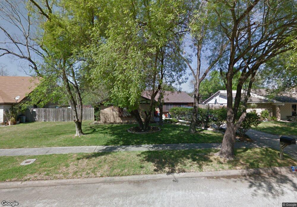
6642 Sandswept Ln Houston, TX 77086
North Houston NeighborhoodEstimated Value: $227,128 - $248,000
3
Beds
2
Baths
1,855
Sq Ft
$127/Sq Ft
Est. Value
About This Home
This home is located at 6642 Sandswept Ln, Houston, TX 77086 and is currently estimated at $235,782, approximately $127 per square foot. 6642 Sandswept Ln is a home located in Harris County with nearby schools including Kujawa EC/Pre-K/K School, Carmichael Elementary School, and Shotwell Middle School.
Ownership History
Date
Name
Owned For
Owner Type
Purchase Details
Closed on
Jun 30, 1994
Sold by
Anderson John Earl and Anderson Darlene B
Bought by
Kimbrough Diannah L
Current Estimated Value
Home Financials for this Owner
Home Financials are based on the most recent Mortgage that was taken out on this home.
Original Mortgage
$58,947
Interest Rate
7.5%
Mortgage Type
FHA
Create a Home Valuation Report for This Property
The Home Valuation Report is an in-depth analysis detailing your home's value as well as a comparison with similar homes in the area
Home Values in the Area
Average Home Value in this Area
Purchase History
| Date | Buyer | Sale Price | Title Company |
|---|---|---|---|
| Kimbrough Diannah L | -- | Title Agency #40 |
Source: Public Records
Mortgage History
| Date | Status | Borrower | Loan Amount |
|---|---|---|---|
| Closed | Kimbrough Diannah L | $58,947 |
Source: Public Records
Tax History Compared to Growth
Tax History
| Year | Tax Paid | Tax Assessment Tax Assessment Total Assessment is a certain percentage of the fair market value that is determined by local assessors to be the total taxable value of land and additions on the property. | Land | Improvement |
|---|---|---|---|---|
| 2025 | $1,426 | $224,457 | $39,135 | $185,322 |
| 2024 | $1,426 | $227,888 | $39,135 | $188,753 |
| 2023 | $1,426 | $235,710 | $39,135 | $196,575 |
| 2022 | $3,930 | $195,437 | $33,165 | $162,272 |
| 2021 | $3,564 | $162,518 | $33,165 | $129,353 |
| 2020 | $3,602 | $153,797 | $33,165 | $120,632 |
| 2019 | $3,405 | $149,989 | $16,912 | $133,077 |
| 2018 | $1,225 | $139,875 | $16,912 | $122,963 |
| 2017 | $2,713 | $131,120 | $15,187 | $115,933 |
| 2016 | $2,467 | $118,743 | $15,187 | $103,556 |
| 2015 | $1,747 | $111,878 | $15,187 | $96,691 |
| 2014 | $1,747 | $82,942 | $15,187 | $67,755 |
Source: Public Records
Map
Nearby Homes
- 6615 Winding Trace Dr
- 6722 Winding Trace Dr
- 10522 Northview Dr
- 6502 Trail Valley Way
- 6630 Brownie Campbell Rd
- 6654 Brownie Campbell Rd
- 10306 Jillana Kaye Dr
- 6911 Silver Star Dr
- 6610 Northleaf Dr
- 7002 Sandswept Ln
- 6822 Dusty Dawn Dr
- 6606 Dusty Dawn Dr
- 7023 Sandswept Ln
- 11009 Panicum Ct
- 11006 Crinkleawn Dr
- 6703 Deer Ridge Ln
- 10214 Trade Winds Dr
- 11021 Crenchrus Ct
- 11007 Tobasa Ct
- 13610 Kaltenbrun Rd
- 6638 Sandswept Ln
- 6646 Sandswept Ln
- 6643 Feather Creek Dr
- 6647 Feather Creek Dr
- 6634 Sandswept Ln
- 6643 Sandswept Ln
- 6639 Sandswept Ln
- 6647 Sandswept Ln
- 6630 Sandswept Ln
- 6635 Feather Creek Dr
- 6702 Sandswept Ln
- 6635 Sandswept Ln
- 6703 Feather Creek Dr
- 6631 Sandswept Ln
- 6626 Sandswept Ln
- 6631 Feather Creek Dr
- 6703 Sandswept Ln
- 6646 Feather Creek Dr
- 6710 Trail Valley Way
- 6707 Feather Creek Dr