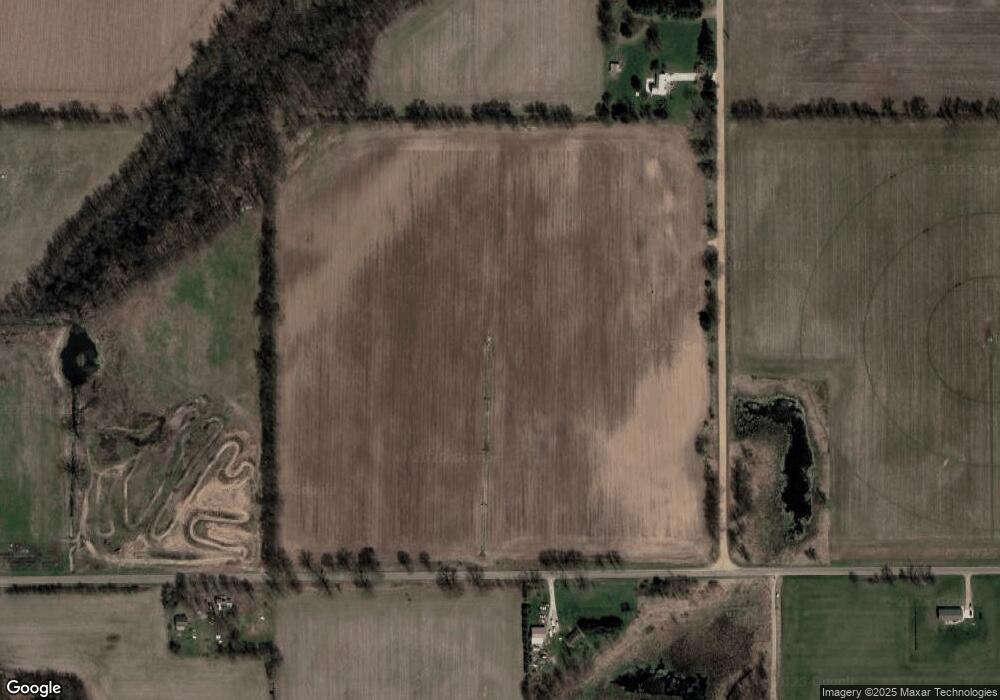
66420 Root Rd Constantine, MI 49042
Estimated Value: $248,000
Studio
1
Bath
980
Sq Ft
$253/Sq Ft
Est. Value
About This Home
This home is located at 66420 Root Rd, Constantine, MI 49042 and is currently priced at $248,000, approximately $253 per square foot. 66420 Root Rd is a home located in St. Joseph County with nearby schools including Eastside Elementary School, Riverside Elementary School, and Constantine Middle School.
Ownership History
Date
Name
Owned For
Owner Type
Purchase Details
Closed on
Jan 21, 2015
Sold by
Mallo Bruce and Mallo Cynthia A
Bought by
Weston Ronald and Weston Barbara
Current Estimated Value
Home Financials for this Owner
Home Financials are based on the most recent Mortgage that was taken out on this home.
Original Mortgage
$243,164
Interest Rate
3.82%
Mortgage Type
Future Advance Clause Open End Mortgage
Purchase Details
Closed on
Mar 31, 1983
Sold by
Mallo James R and Mallo Doris E
Bought by
Mallo Bruce
Create a Home Valuation Report for This Property
The Home Valuation Report is an in-depth analysis detailing your home's value as well as a comparison with similar homes in the area
Purchase History
| Date | Buyer | Sale Price | Title Company |
|---|---|---|---|
| Weston Ronald | $237,500 | Ppr Title Agency | |
| Mallo Bruce | -- | -- |
Source: Public Records
Mortgage History
| Date | Status | Borrower | Loan Amount |
|---|---|---|---|
| Closed | Weston Ronald | $243,164 |
Source: Public Records
Tax History
| Year | Tax Paid | Tax Assessment Tax Assessment Total Assessment is a certain percentage of the fair market value that is determined by local assessors to be the total taxable value of land and additions on the property. | Land | Improvement |
|---|---|---|---|---|
| 2025 | $1,020 | $240,000 | $190,000 | $50,000 |
| 2024 | $992 | $233,000 | $181,500 | $51,500 |
| 2023 | $946 | $204,800 | $157,500 | $47,300 |
| 2022 | $0 | $192,000 | $159,000 | $33,000 |
| 2021 | $2,052 | $204,800 | $172,800 | $32,000 |
| 2020 | $862 | $207,800 | $179,000 | $28,800 |
| 2019 | $2,348 | $199,800 | $171,500 | $28,300 |
| 2018 | $2,195 | $179,800 | $152,300 | $27,500 |
| 2017 | $2,130 | $171,300 | $171,300 | $0 |
| 2016 | -- | $153,700 | $153,700 | $0 |
| 2015 | -- | $166,700 | $0 | $0 |
| 2014 | -- | $158,100 | $158,100 | $0 |
| 2012 | -- | $124,300 | $124,300 | $0 |
Source: Public Records
Map
Nearby Homes
- 66991 Winding River Rd
- 67118 Oxbow Dr
- 67311 Oxbow Dr
- 12901 Millers Mill Rd
- 14061 Riverside Dr
- 67234 Blue School Rd
- 135 Jeremy St
- 265 W Water St
- 63779 Youngs Prairie Rd
- 303 Spring St
- 640 S Washington St
- 380 Centreville Rd
- 120 Plum St
- 63051 Morel Ln
- 13072 Garber Rd
- 211 U S 131 Hwy
- 501 U S 131 Unit 81
- 14308 Garber Rd
- 9070 St Joe River Rd
- 12675 Harder Rd
- 66420 Root Rd
- 66202 Root Rd
- 0 Quaker St
- 11419 Quaker St
- 11221 Quaker St
- 11489 Quaker St
- 66785 Patterson Rd
- 66851 Patterson Rd
- 66620 Patterson Rd
- 66548 Patterson Rd
- 11705 Quaker St
- 66642 Patterson Rd
- 12018 Quaker St
- 66121 Root Rd
- 11269 Quarterline Rd
- 12013 Quaker St
- 10998 Quaker St
- 10878 Quaker St
- 66934 Patterson Rd
- 12164 Quaker St
