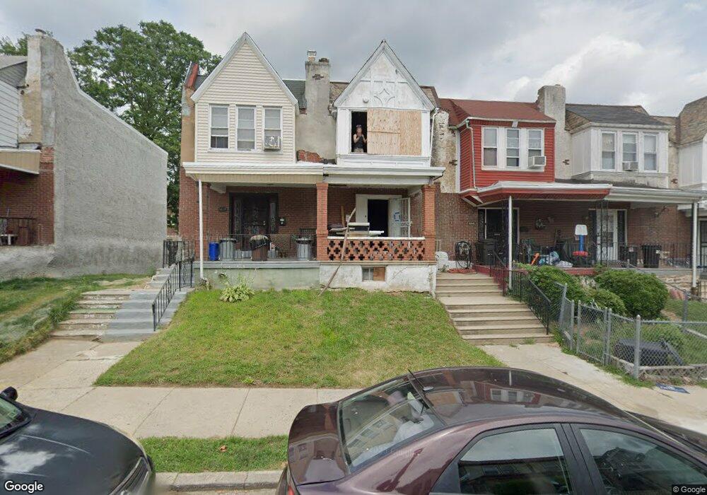
6643 Cornelius St Philadelphia, PA 19138
West Oak Lane NeighborhoodEstimated Value: $189,080 - $213,000
3
Beds
1
Bath
1,064
Sq Ft
$190/Sq Ft
Est. Value
About This Home
This home is located at 6643 Cornelius St, Philadelphia, PA 19138 and is currently estimated at $202,270, approximately $190 per square foot. 6643 Cornelius St is a home located in Philadelphia County with nearby schools including Anna B. Day School, Martin Luther King High School, and West Oak Lane Charter School.
Ownership History
Date
Name
Owned For
Owner Type
Purchase Details
Closed on
Jul 10, 2003
Sold by
Mcrae Michael E
Bought by
Mcrae Michael E and Mcrae Yvette
Current Estimated Value
Home Financials for this Owner
Home Financials are based on the most recent Mortgage that was taken out on this home.
Original Mortgage
$66,200
Outstanding Balance
$28,166
Interest Rate
5.27%
Mortgage Type
VA
Estimated Equity
$174,104
Purchase Details
Closed on
Oct 9, 2002
Sold by
Lasalle Bank Na
Bought by
Mcrae Michael E
Home Financials for this Owner
Home Financials are based on the most recent Mortgage that was taken out on this home.
Original Mortgage
$59,160
Interest Rate
6.07%
Mortgage Type
VA
Purchase Details
Closed on
Oct 5, 2001
Sold by
Maureen Harmon United States Of America
Bought by
Lasalle Bank Na and Emc Mtg Loan Trust Series 2001-A
Purchase Details
Closed on
Dec 22, 1997
Sold by
Jackson Ermon C and Jackson Patricia L
Bought by
Harmon Maureen
Create a Home Valuation Report for This Property
The Home Valuation Report is an in-depth analysis detailing your home's value as well as a comparison with similar homes in the area
Home Values in the Area
Average Home Value in this Area
Purchase History
| Date | Buyer | Sale Price | Title Company |
|---|---|---|---|
| Mcrae Michael E | -- | -- | |
| Mcrae Michael E | $58,000 | -- | |
| Lasalle Bank Na | $33,000 | -- | |
| Harmon Maureen | -- | -- |
Source: Public Records
Mortgage History
| Date | Status | Borrower | Loan Amount |
|---|---|---|---|
| Open | Mcrae Michael E | $66,200 | |
| Closed | Mcrae Michael E | $59,160 |
Source: Public Records
Tax History Compared to Growth
Tax History
| Year | Tax Paid | Tax Assessment Tax Assessment Total Assessment is a certain percentage of the fair market value that is determined by local assessors to be the total taxable value of land and additions on the property. | Land | Improvement |
|---|---|---|---|---|
| 2025 | $2,082 | $184,500 | $36,900 | $147,600 |
| 2024 | $2,082 | $184,500 | $36,900 | $147,600 |
| 2023 | $2,082 | $148,700 | $29,740 | $118,960 |
| 2022 | $932 | $103,700 | $29,740 | $73,960 |
| 2021 | $1,562 | $0 | $0 | $0 |
| 2020 | $1,562 | $0 | $0 | $0 |
| 2019 | $1,631 | $0 | $0 | $0 |
| 2018 | $1,457 | $0 | $0 | $0 |
| 2017 | $1,457 | $0 | $0 | $0 |
| 2016 | $1,037 | $0 | $0 | $0 |
| 2015 | $993 | $0 | $0 | $0 |
| 2014 | -- | $104,100 | $9,504 | $94,596 |
| 2012 | -- | $10,912 | $1,908 | $9,004 |
Source: Public Records
Map
Nearby Homes
- 6620 Cornelius St
- 6661 Cornelius St
- 6332 E Wister St
- 6635 Hollis St
- 1344 Narragansett St
- 1521 E Walnut Ln
- 1505 Beverly Rd
- 6824 Rodney St
- 2152 Stenton Ave
- 1537 Beverly Rd
- 5843 Crittenden St
- 5839 Crittenden St
- 5831 Crittenden St
- 1544 Beverly Rd
- 5829 Crittenden St
- 5827 Crittenden St
- 5852 Crittenden St
- 2125 Stenton Ave
- 2120 66th Ave
- 6531 N Beechwood St
- 6645 Cornelius St
- 6641 Cornelius St
- 6639 Cornelius St
- 6647 Cornelius St
- 6649 Cornelius St
- 6637 Cornelius St
- 6651 Cornelius St
- 6635 Cornelius St
- 6653 Cornelius St
- 6633 Cornelius St
- 6655 Cornelius St
- 6631 Cornelius St
- 6624 Hollis St
- 6622 Hollis St
- 6620 Hollis St
- 6657 Cornelius St
- 6626 Hollis St
- 6629 Cornelius St
- 6618 Hollis St
- 6628 Hollis St