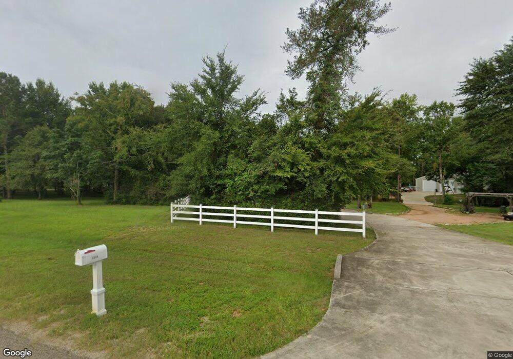
6643 W Bluff Dr Magnolia, TX 77354
Estimated Value: $325,000
--
Bed
--
Bath
1,920
Sq Ft
$169/Sq Ft
Est. Value
About This Home
This home is located at 6643 W Bluff Dr, Magnolia, TX 77354 and is currently priced at $325,000, approximately $169 per square foot. 6643 W Bluff Dr is a home with nearby schools including Lone Star Elementary School, Oak Hills Junior High School, and Lake Creek High School.
Ownership History
Date
Name
Owned For
Owner Type
Purchase Details
Closed on
Jul 30, 2014
Sold by
Hoyle Steven W and Hoyle Debra
Bought by
Madduy Amanda and Madduy Haith Edward
Current Estimated Value
Purchase Details
Closed on
Jul 18, 2005
Sold by
Martin Larry Glen
Bought by
Martin Lori Edwards
Purchase Details
Closed on
Jun 1, 2001
Sold by
Potter Michael L and Potter Melanie A
Bought by
Martin L Glen and Martin Lori
Home Financials for this Owner
Home Financials are based on the most recent Mortgage that was taken out on this home.
Original Mortgage
$22,500
Interest Rate
7.1%
Mortgage Type
Construction
Create a Home Valuation Report for This Property
The Home Valuation Report is an in-depth analysis detailing your home's value as well as a comparison with similar homes in the area
Home Values in the Area
Average Home Value in this Area
Purchase History
| Date | Buyer | Sale Price | Title Company |
|---|---|---|---|
| Madduy Amanda | -- | Great American Title | |
| Martin Lori Edwards | -- | -- | |
| Martin L Glen | -- | First American Title |
Source: Public Records
Mortgage History
| Date | Status | Borrower | Loan Amount |
|---|---|---|---|
| Previous Owner | Martin L Glen | $22,500 |
Source: Public Records
Tax History Compared to Growth
Tax History
| Year | Tax Paid | Tax Assessment Tax Assessment Total Assessment is a certain percentage of the fair market value that is determined by local assessors to be the total taxable value of land and additions on the property. | Land | Improvement |
|---|---|---|---|---|
| 2023 | $2,837 | $182,320 | $139,800 | $42,520 |
| 2022 | $2,643 | $152,030 | $110,720 | $41,310 |
| 2021 | $1,725 | $94,570 | $55,920 | $38,650 |
| 2020 | $1,778 | $92,920 | $55,920 | $37,000 |
| 2019 | $2,071 | $109,190 | $55,920 | $53,270 |
| 2018 | $1,859 | $93,110 | $41,940 | $51,170 |
| 2017 | $841 | $41,940 | $41,940 | $0 |
| 2016 | $841 | $41,940 | $41,940 | $0 |
| 2015 | $347 | $41,940 | $41,940 | $0 |
| 2014 | $347 | $17,480 | $17,480 | $0 |
Source: Public Records
Map
Nearby Homes
- 2426 Blue Lake Dr
- 6802 W Bluff Dr
- 2302 E Blue Lake Dr
- 6114 E Bluff Dr
- 1910 Honea Egypt Rd
- 1817 Ranch Trail Ct
- 1518 Honea Egypt Rd
- 1411 Honea Egypt Rd
- 6422 Sugar Bush Dr
- 7711 Boars Head Place
- 6221 Ranch Lake Dr
- 40715 Pipestone Rd
- 6626 Grant Dr
- 208 Eminence Isle
- 7022 Dillon Dr
- 145 Copa Palm Loop
- 6906 Grant Dr
- 325 Copa Palm Loop
- 407 N Copa Palm Loop
- 411 N Copa Palm Loop
- 2519 Blue Lake Dr
- 6707 W Bluff Dr
- 2611 Blue Lake Dr
- 6715 W Bluff Dr
- 2526 Blue Lake Dr
- 2534 Blue Lake Dr
- 2602 Blue Lake Dr
- 2503 Blue Lake Dr
- 2610 Blue Lake Dr
- 6723 W Bluff Dr
- 2510 Blue Lake Dr
- 6702 W Bluff Dr
- 2626 Blue Lake Dr
- 6626 W Bluff Dr
- LOT 14 W Bluff Dr
- 0 W Bluff Dr
- 6810 W Bluff Dr
- 2427 Blue Lake Dr
- 6710 W Bluff Dr
- 2434 Pebble Lake Dr
