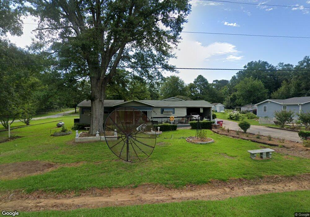
6645 Smithfield Rd Macon, GA 31216
Estimated Value: $175,000 - $225,000
4
Beds
2
Baths
1,872
Sq Ft
$104/Sq Ft
Est. Value
About This Home
This home is located at 6645 Smithfield Rd, Macon, GA 31216 and is currently estimated at $194,094, approximately $103 per square foot. 6645 Smithfield Rd is a home located in Bibb County with nearby schools including Heard Elementary School, Rutland Middle School, and Rutland High School.
Ownership History
Date
Name
Owned For
Owner Type
Purchase Details
Closed on
Aug 29, 2022
Sold by
Jeff Neisler
Bought by
Walker Stanley and Walker Sharee
Current Estimated Value
Home Financials for this Owner
Home Financials are based on the most recent Mortgage that was taken out on this home.
Original Mortgage
$71,314
Outstanding Balance
$52,604
Interest Rate
5.22%
Mortgage Type
Seller Take Back
Estimated Equity
$141,490
Purchase Details
Closed on
Aug 15, 1997
Sold by
Bentley Robert L
Bought by
Bentley Robert L and Bentley Polly L
Create a Home Valuation Report for This Property
The Home Valuation Report is an in-depth analysis detailing your home's value as well as a comparison with similar homes in the area
Home Values in the Area
Average Home Value in this Area
Purchase History
| Date | Buyer | Sale Price | Title Company |
|---|---|---|---|
| Walker Stanley | $100,000 | -- | |
| Bentley Robert L | -- | -- |
Source: Public Records
Mortgage History
| Date | Status | Borrower | Loan Amount |
|---|---|---|---|
| Open | Walker Stanley | $71,314 |
Source: Public Records
Tax History Compared to Growth
Tax History
| Year | Tax Paid | Tax Assessment Tax Assessment Total Assessment is a certain percentage of the fair market value that is determined by local assessors to be the total taxable value of land and additions on the property. | Land | Improvement |
|---|---|---|---|---|
| 2025 | $972 | $39,543 | $2,062 | $37,481 |
| 2024 | $1,004 | $39,543 | $2,062 | $37,481 |
| 2023 | $1,016 | $64,354 | $2,023 | $62,331 |
| 2022 | $1,036 | $29,935 | $2,755 | $27,180 |
| 2021 | $611 | $29,935 | $2,755 | $27,180 |
| 2020 | $624 | $29,935 | $2,755 | $27,180 |
| 2019 | $628 | $29,935 | $2,755 | $27,180 |
| 2018 | $1,141 | $29,935 | $2,755 | $27,180 |
| 2017 | $591 | $29,935 | $2,755 | $27,180 |
| 2016 | $535 | $29,936 | $2,755 | $27,180 |
| 2015 | $764 | $29,936 | $2,755 | $27,180 |
| 2014 | $764 | $29,936 | $2,755 | $27,180 |
Source: Public Records
Map
Nearby Homes
- 1850 Barnes Ferry Rd
- 2154 Allen Rd
- 1660 Allen Rd
- Plan 2700 at The Abberley
- 301 Stockton Cir
- 120 Abberley Ln
- 326 Stockton Cir
- 337 Stockton Cir
- 341 Stockton Cir
- 7070 Sofkee Place
- 137 Abberley Ln
- 2165 Griffin Rd
- 2960 Regina Dr
- 149 Lew Dr
- 344 Browning Pointe Rd
- 268 Amanda Dr
- 321 Browning Pointe Rd
- 106 Maries Garden Trail
- 2728 Nowell Dr
- 261 Amanda Dr
- 6651 Smithfield Rd
- 6637 Smithfield Rd
- 6659 Smithfield Rd
- 6665 Smithfield Rd
- 6631 Smithfield Rd
- 6570 Smithfield Rd
- 6650 Grayer Dr
- 6685 Smithfield Rd
- 6640 Grayer Dr
- 6662 Grayer Dr
- 6636 Grayer Dr
- 2093 Barnes Ferry Rd
- 2055 Barnes Ferry Rd
- 6630 Grayer Dr
- 6575 Smithfield Rd
- 6651 Grayer Dr
- 6627 Smithfield Rd
- 2090 Barnes Ferry Rd
- 1981 Barnes Ferry Rd
- 1345 Barnes Ferry Rd