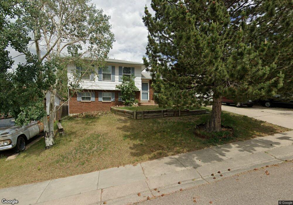
6645 Snowbird Dr Colorado Springs, CO 80918
Pulpit Rock NeighborhoodEstimated Value: $417,000 - $431,000
4
Beds
3
Baths
1,188
Sq Ft
$356/Sq Ft
Est. Value
About This Home
This home is located at 6645 Snowbird Dr, Colorado Springs, CO 80918 and is currently estimated at $423,174, approximately $356 per square foot. 6645 Snowbird Dr is a home located in El Paso County with nearby schools including Pioneer Elementary School, Mountain Ridge Middle School, and Rampart High School.
Ownership History
Date
Name
Owned For
Owner Type
Purchase Details
Closed on
May 8, 2021
Sold by
Moynihan Timothy J
Bought by
Moynihan Carolann
Current Estimated Value
Home Financials for this Owner
Home Financials are based on the most recent Mortgage that was taken out on this home.
Original Mortgage
$242,954
Outstanding Balance
$98,404
Interest Rate
2.9%
Mortgage Type
Commercial
Estimated Equity
$324,770
Purchase Details
Closed on
Jul 26, 1993
Bought by
Moynihan Timothy J and Moynihan Carolann
Purchase Details
Closed on
Dec 1, 1984
Bought by
Moynihan Timothy J and Moynihan Carolann
Purchase Details
Closed on
Mar 1, 1983
Bought by
Moynihan Timothy J and Moynihan Carolann
Create a Home Valuation Report for This Property
The Home Valuation Report is an in-depth analysis detailing your home's value as well as a comparison with similar homes in the area
Home Values in the Area
Average Home Value in this Area
Purchase History
| Date | Buyer | Sale Price | Title Company |
|---|---|---|---|
| Moynihan Carolann | -- | Capstone Title Services Llc | |
| Moynihan Timothy J | -- | -- | |
| Moynihan Timothy J | -- | -- | |
| Moynihan Timothy J | -- | -- |
Source: Public Records
Mortgage History
| Date | Status | Borrower | Loan Amount |
|---|---|---|---|
| Open | Moynihan Carolann | $242,954 |
Source: Public Records
Tax History Compared to Growth
Tax History
| Year | Tax Paid | Tax Assessment Tax Assessment Total Assessment is a certain percentage of the fair market value that is determined by local assessors to be the total taxable value of land and additions on the property. | Land | Improvement |
|---|---|---|---|---|
| 2025 | $1,470 | $29,960 | -- | -- |
| 2024 | $1,417 | $28,470 | $5,700 | $22,770 |
| 2022 | $1,429 | $21,590 | $5,060 | $16,530 |
| 2021 | $1,587 | $22,210 | $5,210 | $17,000 |
| 2020 | $1,383 | $17,970 | $4,530 | $13,440 |
| 2019 | $1,369 | $17,970 | $4,530 | $13,440 |
| 2018 | $1,180 | $15,220 | $3,810 | $11,410 |
| 2017 | $1,175 | $15,220 | $3,810 | $11,410 |
| 2016 | $1,120 | $14,490 | $3,940 | $10,550 |
| 2015 | $971 | $12,590 | $3,940 | $8,650 |
| 2014 | $884 | $11,450 | $3,890 | $7,560 |
Source: Public Records
Map
Nearby Homes
- 2113 Roundtop Ct
- 6530 Brook Park Dr
- 6470 Lehman Dr
- 6633 Dublin Loop W Unit 4
- 6632 Dublin Loop W
- 6641 Gambol Quail Dr W
- 1871 Brookwood Dr
- 6655 Sproul Ln
- 6447 Jonathan Ct Unit E1
- 2570 Covington Place
- 6145 Pine Hill Dr
- 6119 Pine Hill Dr
- 6107 Pine Hill Dr
- 6678 Bethesda Point Unit C
- 6868 Los Reyes Cir
- 6438 Village Ln Unit 6438
- 2563 Integrity Ct
- 6872 Los Reyes Cir
- 1850 Brookdale Dr
- 1892 Brookdale Dr
- 6655 Snowbird Dr
- 2145 Roundtop Dr
- 2155 Roundtop Dr
- 6665 Snowbird Dr
- 6625 Snowbird Dr
- 2135 Roundtop Dr
- 6640 Snowbird Dr
- 2165 Roundtop Dr
- 6650 Snowbird Dr
- 6630 Snowbird Dr
- 6675 Snowbird Dr
- 2125 Roundtop Dr
- 6615 Snowbird Dr
- 6660 Snowbird Dr
- 6620 Snowbird Dr
- 2175 Roundtop Dr
- 6670 Snowbird Dr
- 6685 Snowbird Dr
- 6525 Brook Park Dr
- 2103 Roundtop Ct