Estimated Value: $1,812,000 - $2,350,000
4
Beds
4
Baths
4,088
Sq Ft
$481/Sq Ft
Est. Value
About This Home
This home is located at 66459 Highway 20, Bend, OR 97703 and is currently estimated at $1,967,250, approximately $481 per square foot. 66459 Highway 20 is a home located in Deschutes County with nearby schools including Sisters Elementary School, Sisters Middle School, and Sisters High School.
Ownership History
Date
Name
Owned For
Owner Type
Purchase Details
Closed on
Jan 31, 2018
Sold by
Chandler and Chandler Newville
Bought by
Backus Diane W and Colton Raymond Henry
Current Estimated Value
Purchase Details
Closed on
Oct 23, 2017
Sold by
Ceniga Frank L and Ceniga Shelby J
Bought by
Chandler and Chandler Newville
Purchase Details
Closed on
Sep 29, 2012
Sold by
Ceniga Frank L and Ceniga Shelby
Bought by
Ceniga Frank L
Create a Home Valuation Report for This Property
The Home Valuation Report is an in-depth analysis detailing your home's value as well as a comparison with similar homes in the area
Purchase History
| Date | Buyer | Sale Price | Title Company |
|---|---|---|---|
| Backus Diane W | $1,010,000 | First American Title | |
| Chandler | $110,000 | None Available | |
| Ceniga Frank L | -- | None Available |
Source: Public Records
Tax History
| Year | Tax Paid | Tax Assessment Tax Assessment Total Assessment is a certain percentage of the fair market value that is determined by local assessors to be the total taxable value of land and additions on the property. | Land | Improvement |
|---|---|---|---|---|
| 2025 | $21,656 | $1,499,560 | -- | -- |
| 2024 | $21,171 | $1,455,890 | -- | -- |
| 2023 | $20,877 | $1,413,490 | $0 | $0 |
| 2022 | $19,207 | $1,173,800 | $0 | $0 |
| 2021 | $15,499 | $1,049,050 | $0 | $0 |
| 2020 | $13,513 | $1,049,050 | $0 | $0 |
| 2019 | $15,509 | $1,197,530 | $0 | $0 |
| 2018 | $18,609 | $1,372,330 | $0 | $0 |
| 2017 | $17,957 | $1,332,360 | $0 | $0 |
| 2016 | $17,669 | $1,293,560 | $0 | $0 |
| 2015 | $16,444 | $1,255,890 | $0 | $0 |
| 2014 | $14,888 | $1,219,320 | $0 | $0 |
Source: Public Records
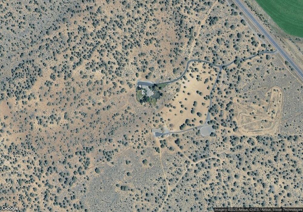
Map
Nearby Homes
- 67100 Fryrear Rd
- 18025 2nd Ave
- 67134 Central St
- 17940 4th Ave
- 18025 Cascade Estates Dr
- 17949 Cascade Estates Dr
- 18070 Cascade Estates Dr
- 67070 Paradise Aly
- 64225 Sisemore Rd
- 66511 Ponderosa Loop
- 67480 Cloverdale Rd
- 65600 Highway 20
- 65930 Mariposa Ln
- 67276 Gist Rd
- 16816 Ponderosa Cascade Dr
- 66001 Waldron Trail
- 18870 Couch Market Rd
- 67439 U S 20
- 17415 Kent Rd
- 67554 Trout Ln
- 66459 Highway 20
- 18025 Plainview Rd Unit P-1
- 18025 Plainview Rd
- 18005 Plainview Rd
- 66575 Highway 20
- 66345 Highway 20
- 66585 Fryrear Rd
- 18201 Snow Creek Ln
- 18045 Plainview Rd
- 18015 Plainview Rd
- 18055 Plainview Rd
- 18281 Snow Creek Ln
- 66817 Fryrear Rd
- 66295 Highway 20
- 18201 Snow Creek Ln
- 18125 Snow Creek Ln
- 2 Snow Creek Ln
- 66820 Central St
- 66875 Fryrear Rd
Your Personal Tour Guide
Ask me questions while you tour the home.