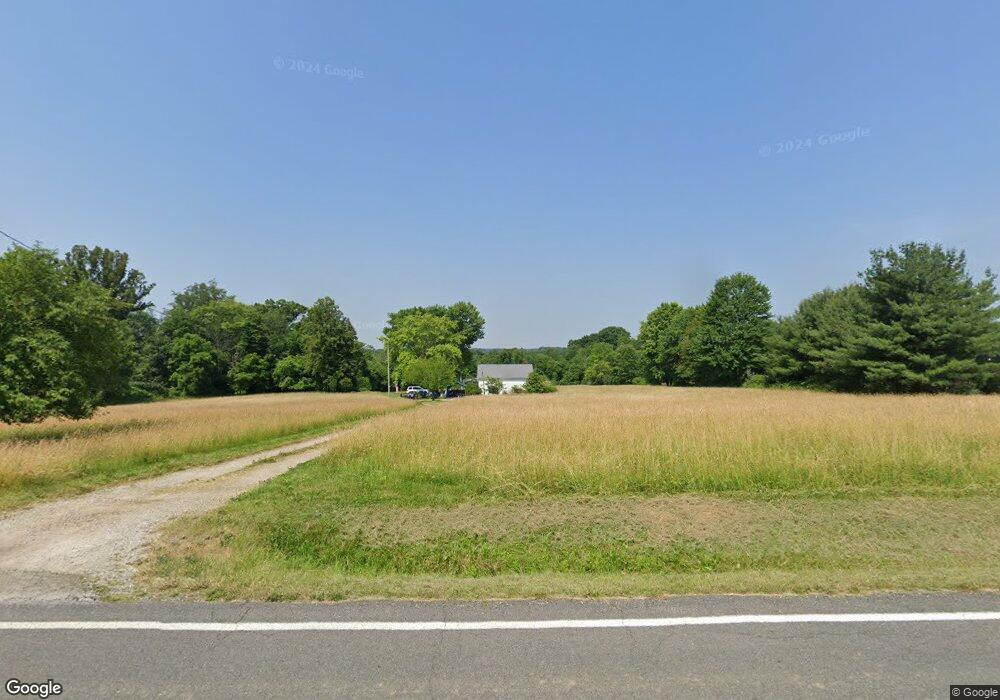
6646 Grove Rd New Franklin, OH 44216
Estimated Value: $80,178 - $420,000
3
Beds
2
Baths
1,209
Sq Ft
$207/Sq Ft
Est. Value
About This Home
This home is located at 6646 Grove Rd, New Franklin, OH 44216 and is currently estimated at $250,089, approximately $206 per square foot. 6646 Grove Rd is a home located in Summit County.
Ownership History
Date
Name
Owned For
Owner Type
Purchase Details
Closed on
Jan 17, 2018
Sold by
Farrell Charlene J
Bought by
Sks Land Management Ltd
Current Estimated Value
Purchase Details
Closed on
Nov 19, 2010
Sold by
Farrell Charlene J
Bought by
Lee Rose M and 6646 Grove Rd Trust
Home Financials for this Owner
Home Financials are based on the most recent Mortgage that was taken out on this home.
Original Mortgage
$35,000
Interest Rate
4.19%
Mortgage Type
Purchase Money Mortgage
Purchase Details
Closed on
Nov 18, 2010
Sold by
Lee Rose
Bought by
Farrell Charlene J
Home Financials for this Owner
Home Financials are based on the most recent Mortgage that was taken out on this home.
Original Mortgage
$35,000
Interest Rate
4.19%
Mortgage Type
Purchase Money Mortgage
Purchase Details
Closed on
Jul 14, 2009
Sold by
Lindeman Sharon K
Bought by
Lee Rose and The 6646 Grove Road Trust
Purchase Details
Closed on
Sep 14, 1999
Sold by
Koon Elwood B
Bought by
Koon Elwood B
Create a Home Valuation Report for This Property
The Home Valuation Report is an in-depth analysis detailing your home's value as well as a comparison with similar homes in the area
Home Values in the Area
Average Home Value in this Area
Purchase History
| Date | Buyer | Sale Price | Title Company |
|---|---|---|---|
| Sks Land Management Ltd | $53,000 | None Available | |
| Lee Rose M | -- | Diamond Title Co | |
| Farrell Charlene J | $116,000 | Diamond Title Co | |
| Lee Rose | $65,000 | Bond & Associates Title Agen | |
| Koon Elwood B | -- | -- |
Source: Public Records
Mortgage History
| Date | Status | Borrower | Loan Amount |
|---|---|---|---|
| Previous Owner | Farrell Charlene J | $35,000 |
Source: Public Records
Tax History Compared to Growth
Tax History
| Year | Tax Paid | Tax Assessment Tax Assessment Total Assessment is a certain percentage of the fair market value that is determined by local assessors to be the total taxable value of land and additions on the property. | Land | Improvement |
|---|---|---|---|---|
| 2025 | $2,775 | $54,044 | $17,595 | $36,449 |
| 2024 | $2,775 | $54,468 | $17,595 | $36,873 |
| 2023 | $2,775 | $54,468 | $17,595 | $36,873 |
| 2022 | $2,572 | $54,187 | $25,893 | $28,294 |
| 2021 | $2,581 | $39,340 | $11,046 | $28,294 |
| 2020 | $2,492 | $39,340 | $11,050 | $28,290 |
| 2019 | $2,111 | $29,780 | $11,510 | $18,270 |
| 2018 | $1,292 | $29,780 | $11,510 | $18,270 |
| 2017 | $1,876 | $29,780 | $11,510 | $18,270 |
| 2016 | $1,396 | $29,520 | $14,220 | $15,300 |
| 2015 | $1,876 | $36,310 | $21,010 | $15,300 |
| 2014 | $1,862 | $36,310 | $21,010 | $15,300 |
| 2013 | $1,999 | $38,540 | $21,010 | $17,530 |
Source: Public Records
Map
Nearby Homes
- 6387 Hampsher Rd
- 1062 Stump Rd
- 6090 Manchester Rd Unit 6096
- 899 Loway Dr
- 5776 Harter Home Dr
- 781 Leeman Dr
- 715 Highland Park Dr
- 2200 W Comet Rd
- 5892 Woodward Dr
- 6407 Southview Dr
- 451 Yager Rd
- 5983 Weaver Rd
- 7060 Manchester Rd
- 8714 Greenmeadow Ave NW
- 0 W Comet Rd Unit 5079117
- 8177 S Cleveland Massillon Rd Unit 16
- 8177 S Cleveland Massillon Rd Unit 42
- 427 Center Rd
- 8941 Shoemaker Ave NW
- 0 Babst Ave NW