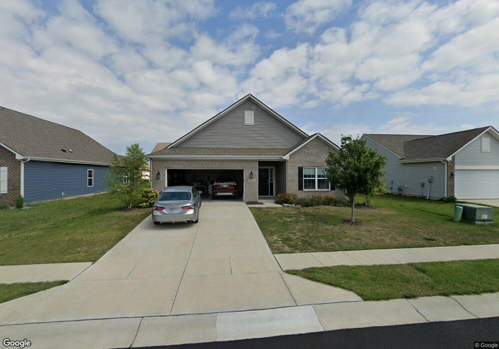
6646 Laurelwood Dr Pendleton, IN 46064
Estimated Value: $301,957 - $416,000
3
Beds
2
Baths
1,856
Sq Ft
$187/Sq Ft
Est. Value
About This Home
This home is located at 6646 Laurelwood Dr, Pendleton, IN 46064 and is currently estimated at $346,739, approximately $186 per square foot. 6646 Laurelwood Dr is a home located in Madison County with nearby schools including Maple Ridge Elementary School and Pendleton Heights Middle School.
Ownership History
Date
Name
Owned For
Owner Type
Purchase Details
Closed on
Apr 16, 2024
Sold by
Sfr Jv-Hd Property Llc
Bought by
Sfr Jv-Hd 2024-1 Borrower Llc
Current Estimated Value
Home Financials for this Owner
Home Financials are based on the most recent Mortgage that was taken out on this home.
Original Mortgage
$320,592,000
Outstanding Balance
$230,695,425
Interest Rate
6.88%
Mortgage Type
Credit Line Revolving
Estimated Equity
-$230,348,686
Purchase Details
Closed on
Oct 29, 2021
Sold by
Ledford Anna M
Bought by
Sfr Jv Hd Property Llc
Purchase Details
Closed on
Mar 31, 2020
Sold by
Clayton Properties Group Inc
Bought by
Ledford Anna M
Home Financials for this Owner
Home Financials are based on the most recent Mortgage that was taken out on this home.
Original Mortgage
$223,040
Interest Rate
3.4%
Mortgage Type
New Conventional
Create a Home Valuation Report for This Property
The Home Valuation Report is an in-depth analysis detailing your home's value as well as a comparison with similar homes in the area
Home Values in the Area
Average Home Value in this Area
Purchase History
| Date | Buyer | Sale Price | Title Company |
|---|---|---|---|
| Sfr Jv-Hd 2024-1 Borrower Llc | -- | None Listed On Document | |
| Sfr Jv Hd Property Llc | $310,000 | None Available | |
| Ledford Anna M | -- | Enterprise Title |
Source: Public Records
Mortgage History
| Date | Status | Borrower | Loan Amount |
|---|---|---|---|
| Open | Sfr Jv-Hd 2024-1 Borrower Llc | $320,592,000 | |
| Previous Owner | Ledford Anna M | $223,040 |
Source: Public Records
Tax History
| Year | Tax Paid | Tax Assessment Tax Assessment Total Assessment is a certain percentage of the fair market value that is determined by local assessors to be the total taxable value of land and additions on the property. | Land | Improvement |
|---|---|---|---|---|
| 2025 | $4,758 | $280,400 | $46,800 | $233,600 |
| 2024 | $4,758 | $255,100 | $46,800 | $208,300 |
| 2023 | $4,668 | $233,400 | $44,600 | $188,800 |
| 2022 | $4,674 | $233,200 | $42,400 | $190,800 |
| 2021 | $2,192 | $219,200 | $42,400 | $176,800 |
| 2020 | $35 | $900 | $900 | $0 |
Source: Public Records
Map
Nearby Homes
- 6645 Honeysuckle Way
- 6673 Laurelwood Dr
- 6564 Mayapple Dr
- 6769 Honeysuckle Way
- 6622 Aster Dr
- 8212 Dewberry Ln
- 8216 Ambrosia Ln
- 8346 Juniper Ln
- 8174 Ambrosia Ln
- 6653 Blackthorne Dr
- 6696 Blackthorne Dr
- 8202 Bearberry Ln
- 7170 Murph Way
- 8340 S 750 W
- 8102 Ridge Line Dr
- 7200 Murph Way
- 7150 Murph Way
- 7180 Murph Way
- 8086 Ridge Line Dr
- 8078 Ridge Line Dr
- 6656 Laurelwood Dr
- 6643 Laurelwood Dr
- 6636 Laurelwood Dr
- 6657 Laurelwood Dr
- 6594 Laurelwood Dr
- 6633 Laurelwood Dr
- 6678 Laurelwood Dr
- 6624 Laurelwood Dr
- 6623 Laurelwood Dr
- 6651 Mayapple Dr
- 6639 Mayapple Dr
- 6654 Aster Dr
- 6644 Aster Dr
- 6634 Aster Dr
- 6676 Aster Dr
- 6613 Mayapple Dr
- 6602 Laurelwood Dr
- 8361 Silverbush Ln
- 8351 Silverbush Ln
- 8382 Aster Dr
Your Personal Tour Guide
Ask me questions while you tour the home.