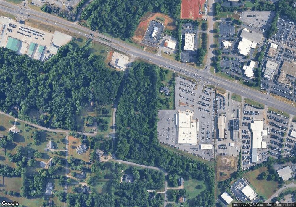
6647 Highway 72 W Huntsville, AL 35806
Research Park NeighborhoodEstimated Value: $208,927 - $502,000
--
Bed
--
Bath
--
Sq Ft
3.6
Acres
About This Home
This home is located at 6647 Highway 72 W, Huntsville, AL 35806 and is currently estimated at $347,232. 6647 Highway 72 W is a home with nearby schools including Monrovia Elementary School, Monrovia Middle School, and Sparkman High School.
Ownership History
Date
Name
Owned For
Owner Type
Purchase Details
Closed on
Dec 16, 2022
Sold by
Adams Living Trust
Bought by
Shottenkirk Alabama Properties Llc
Current Estimated Value
Home Financials for this Owner
Home Financials are based on the most recent Mortgage that was taken out on this home.
Original Mortgage
$1,827,500
Outstanding Balance
$1,443,712
Interest Rate
6.95%
Mortgage Type
New Conventional
Estimated Equity
-$1,096,480
Create a Home Valuation Report for This Property
The Home Valuation Report is an in-depth analysis detailing your home's value as well as a comparison with similar homes in the area
Home Values in the Area
Average Home Value in this Area
Purchase History
| Date | Buyer | Sale Price | Title Company |
|---|---|---|---|
| Shottenkirk Alabama Properties Llc | $2,150,000 | -- |
Source: Public Records
Mortgage History
| Date | Status | Borrower | Loan Amount |
|---|---|---|---|
| Open | Shottenkirk Alabama Properties Llc | $1,827,500 |
Source: Public Records
Tax History Compared to Growth
Tax History
| Year | Tax Paid | Tax Assessment Tax Assessment Total Assessment is a certain percentage of the fair market value that is determined by local assessors to be the total taxable value of land and additions on the property. | Land | Improvement |
|---|---|---|---|---|
| 2024 | $1,177 | $20,300 | $18,800 | $1,500 |
| 2023 | $680 | $20,180 | $18,800 | $1,380 |
| 2022 | $674 | $20,020 | $18,800 | $1,220 |
| 2021 | $665 | $19,760 | $18,800 | $960 |
| 2020 | $661 | $19,660 | $18,800 | $860 |
| 2019 | $661 | $19,660 | $18,800 | $860 |
| 2018 | $661 | $19,660 | $0 | $0 |
| 2017 | $661 | $19,660 | $0 | $0 |
| 2016 | $661 | $19,660 | $0 | $0 |
| 2015 | $661 | $19,660 | $0 | $0 |
| 2014 | $660 | $19,620 | $0 | $0 |
Source: Public Records
Map
Nearby Homes
- 146 Springhill Rd NW
- 0 County Road 118
- 6426 Dunnavant Place NW
- 6414 Dunnavant Place NW
- 6453 Lincoln Park Place NW
- 1224 Smooth Stone Trail
- 1272 Smooth Stone Trail
- 1273 Smooth Stone Trail
- 1219 Smooth Stone Trail
- 1214 Smooth Stone Trail
- 445 Providence Main St NW Unit 409
- 63 Town Center Dr NW
- 17 Biltmore Dr NW
- 6404 Lenox Hill Way
- 19 Bridgham St NW
- 6422 Lenox Hill Way
- 6408 Midtowne Ln NW
- 21 Bridgham St NW
- 6417 Lenox Hill Way
- 6426 Lenox Hill Way
- 6627 Highway 72 W
- 161 Springhill Rd NW
- 101 Shawnee Dr NW
- 162 Springhill Rd NW
- 100 Shawnee Dr NW
- 100 Providence Main St NW
- 100 Providence Main St NW Unit B
- 201 Springhill Rd NW
- 102 Shawnee Dr NW
- 105 Shawnee Dr NW
- 222 Springhill Rd NW
- 106 Shawnee Dr NW
- 234 Springhill Rd NW
- 107 Shawnee Dr NW
- 108 Country Rd NW
- 7200 University Dr
- 149 Country Rd NW
- 108 Shawnee Dr NW
- 128 Country Rd NW
- 109 Shawnee Dr NW