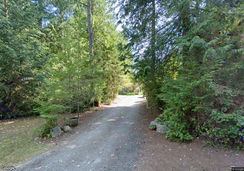
6647 Latyson Ln NE Bainbridge Island, WA 98110
Estimated Value: $1,343,000 - $1,640,075
4
Beds
3
Baths
2,288
Sq Ft
$671/Sq Ft
Est. Value
About This Home
This home is located at 6647 Latyson Ln NE, Bainbridge Island, WA 98110 and is currently estimated at $1,536,269, approximately $671 per square foot. 6647 Latyson Ln NE is a home located in Kitsap County with nearby schools including Bainbridge High School, Montessori Country School, and Madrona School.
Create a Home Valuation Report for This Property
The Home Valuation Report is an in-depth analysis detailing your home's value as well as a comparison with similar homes in the area
Home Values in the Area
Average Home Value in this Area
Tax History Compared to Growth
Tax History
| Year | Tax Paid | Tax Assessment Tax Assessment Total Assessment is a certain percentage of the fair market value that is determined by local assessors to be the total taxable value of land and additions on the property. | Land | Improvement |
|---|---|---|---|---|
| 2026 | $11,031 | $1,369,240 | $573,720 | $795,520 |
| 2025 | $11,031 | $1,369,240 | $573,720 | $795,520 |
| 2024 | $10,541 | $1,369,240 | $573,720 | $795,520 |
| 2023 | $11,005 | $1,369,240 | $573,720 | $795,520 |
| 2022 | $9,615 | $1,017,500 | $419,050 | $598,450 |
| 2021 | $9,363 | $944,650 | $387,690 | $556,960 |
| 2020 | $9,490 | $944,650 | $387,690 | $556,960 |
| 2019 | $8,720 | $884,430 | $362,040 | $522,390 |
| 2018 | $8,522 | $703,740 | $285,070 | $418,670 |
| 2017 | $7,325 | $703,740 | $285,070 | $418,670 |
| 2016 | $7,121 | $649,860 | $277,490 | $372,370 |
| 2015 | $6,500 | $604,510 | $277,490 | $327,020 |
| 2014 | -- | $565,640 | $277,490 | $288,150 |
| 2013 | -- | $565,640 | $277,490 | $288,150 |
Source: Public Records
Map
Nearby Homes
- 6560 NE Latyson Ln
- 6705 NE Dapple Ct
- 3356 Point White Dr NE
- 4552 Point White Dr NE Unit A&B
- 5815 NE Baker Hill Rd
- 4869 Rosalind Rd NE
- 5368 Crystal Springs Dr NE
- 0 Point White Dr NE
- 5172 Rich View Dr E
- 3737 NE Bahia Vista Dr
- 3620 NE Bahia Vista Dr
- 5755 Blakely Ave NE
- 23 Beargrass Ln NE
- 5208 Illahee Rd NE
- 0 Illahee Rd NE Unit NWM2449458
- 3467 Partridge Hollow NE
- 0 XXXX Allview Blvd NE
- 4808 Charmont Ln NE
- 6465 Haley Loop Rd NE
- 4740 NE Rose Ave NE
- 0 NE Latyson Ln
- 6679 Latyson Ln NE
- 6615 Latyson Ln NE
- 3954 El Cimo Ln NE
- 3960 El Cimo Ln NE
- 6581 Latyson Ln NE
- 6521 NE Sundance Ln
- 3948 El Cimo Ln NE
- 3942 El Cimo Ln NE
- 3825 Point White Dr NE
- 3966 El Cimo Ln NE
- 0 C NE Sundance Ln
- 6549 Latyson Ln NE
- 6545 NE Sundance Ln
- 6575 NE Sundance Ln
- 6510 NE Sundance Ln
- 6505 NE Sundance Ln
- 0 XXXX Point White Dr NE
- 0 LD Point White Dr NE
- 0 A,B&C Point White Dr NE
