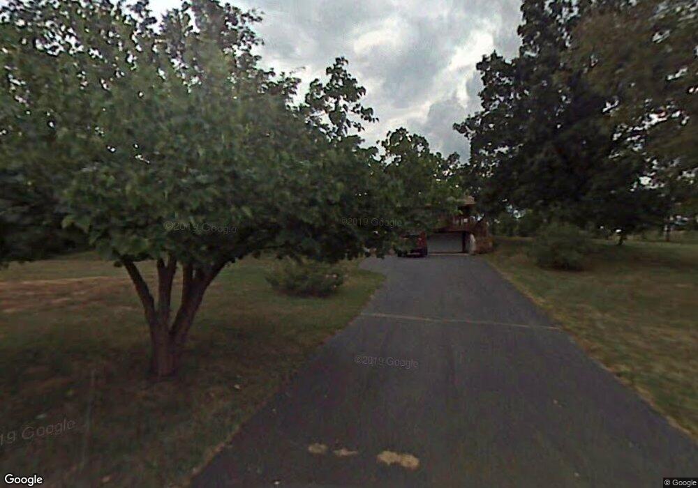
6648 N Deer Ln Springfield, MO 65803
Estimated Value: $253,000 - $377,144
2
Beds
3
Baths
1,248
Sq Ft
$268/Sq Ft
Est. Value
About This Home
This home is located at 6648 N Deer Ln, Springfield, MO 65803 and is currently estimated at $334,381, approximately $267 per square foot. 6648 N Deer Ln is a home located in Greene County with nearby schools including Willard East Elementary School, Willard Intermediate School North, and Willard High School.
Ownership History
Date
Name
Owned For
Owner Type
Purchase Details
Closed on
Sep 24, 2012
Sold by
Carden George and Carden Alejandra
Bought by
Carden Brett and Carden Catherine
Current Estimated Value
Home Financials for this Owner
Home Financials are based on the most recent Mortgage that was taken out on this home.
Original Mortgage
$101,000
Interest Rate
3.55%
Mortgage Type
FHA
Purchase Details
Closed on
Mar 7, 2012
Sold by
Lawson Patricia A and Wheeler Bruce A
Bought by
Carden George
Create a Home Valuation Report for This Property
The Home Valuation Report is an in-depth analysis detailing your home's value as well as a comparison with similar homes in the area
Home Values in the Area
Average Home Value in this Area
Purchase History
| Date | Buyer | Sale Price | Title Company |
|---|---|---|---|
| Carden Brett | -- | None Available | |
| Carden George | -- | Meridian Title Company |
Source: Public Records
Mortgage History
| Date | Status | Borrower | Loan Amount |
|---|---|---|---|
| Closed | Carden Brett | $101,000 |
Source: Public Records
Tax History Compared to Growth
Tax History
| Year | Tax Paid | Tax Assessment Tax Assessment Total Assessment is a certain percentage of the fair market value that is determined by local assessors to be the total taxable value of land and additions on the property. | Land | Improvement |
|---|---|---|---|---|
| 2025 | $1,894 | $39,400 | $12,860 | $26,540 |
| 2024 | $1,894 | $31,940 | $7,370 | $24,570 |
| 2023 | $1,887 | $31,940 | $7,370 | $24,570 |
| 2022 | $1,820 | $30,700 | $7,370 | $23,330 |
| 2021 | $1,742 | $30,700 | $7,370 | $23,330 |
| 2020 | $1,686 | $29,180 | $7,370 | $21,810 |
| 2019 | $1,677 | $29,180 | $7,370 | $21,810 |
| 2018 | $1,526 | $26,290 | $7,370 | $18,920 |
| 2017 | $0 | $25,550 | $7,370 | $18,180 |
| 2016 | $1,465 | $25,550 | $7,370 | $18,180 |
| 2015 | $1,456 | $25,550 | $7,370 | $18,180 |
| 2014 | $1,467 | $25,610 | $7,370 | $18,240 |
Source: Public Records
Map
Nearby Homes
- 4244 W Farm Road 68
- 000 W Farm Road 68
- 6054 N Farm Road 129
- 3542 W Farm Road 60
- 7208 N Farm Road 133
- 3259 W Farm Road 60
- 5481 N Seitz Ave
- 2463 W Farm Road 76
- 4310 W Farm Road 54
- Tract 34 W Farm Road 76
- 5011 N Farm Road 129
- 4914 W Farm Road 82
- 2564 W Farm Road 80
- 5275 W Farm Road 82
- 2749 W Farm Road 56
- 000 W Pinewood Dr
- 7181 N Farm Road 105
- 2586 E Theran Ave Unit (Ph 1, Lot 14)
- 000 W Farm Road 76
- 2750 W Bonita St
- 3812 W Farm Road 68
- 6554 N Deer Ln
- 3778 W Farm Road 68
- 6599 N Farm Road 129
- 3720 W Farm Road 68
- 3721 W Farm Road 68
- 6571 N Farm Road 129
- 6824 N Farm Road 129
- 4060 W Farm Road 68
- 3846 W Farm Road 68
- 6811 N Flinthill Ln
- 3981 W Farm Road 68
- 6551 N Farm Road 129
- Tbd Farm Road 129
- 3696 W Farm Road 68
- 4049 W State Highway O
- 3879 W State Highway O
- 4003 W State Highway O
- 0 N Farm Road 129 Unit 60009598
- 0 N Farm Road 129 Unit 60079148