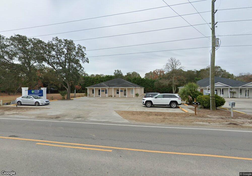
6649 Beach Dr SW Unit 1 And 2 Ocean Isle Beach, NC 28469
Estimated Value: $622,947
--
Bed
--
Bath
1,800
Sq Ft
$346/Sq Ft
Est. Value
About This Home
This home is located at 6649 Beach Dr SW Unit 1 And 2, Ocean Isle Beach, NC 28469 and is currently estimated at $622,947, approximately $346 per square foot. 6649 Beach Dr SW Unit 1 And 2 is a home located in Brunswick County with nearby schools including Union Elementary School, Shallotte Middle School, and West Brunswick High School.
Ownership History
Date
Name
Owned For
Owner Type
Purchase Details
Closed on
Aug 12, 2021
Sold by
Russ & Gore Inc
Bought by
South Ridge Properties Llc
Current Estimated Value
Home Financials for this Owner
Home Financials are based on the most recent Mortgage that was taken out on this home.
Original Mortgage
$372,000
Outstanding Balance
$72,294
Interest Rate
2.9%
Mortgage Type
Commercial
Estimated Equity
$550,653
Purchase Details
Closed on
Sep 1, 1998
Bought by
Russ And Gore Inc
Create a Home Valuation Report for This Property
The Home Valuation Report is an in-depth analysis detailing your home's value as well as a comparison with similar homes in the area
Home Values in the Area
Average Home Value in this Area
Purchase History
| Date | Buyer | Sale Price | Title Company |
|---|---|---|---|
| South Ridge Properties Llc | $465,000 | None Available | |
| Russ And Gore Inc | $215,000 | -- |
Source: Public Records
Mortgage History
| Date | Status | Borrower | Loan Amount |
|---|---|---|---|
| Open | South Ridge Properties Llc | $372,000 |
Source: Public Records
Tax History Compared to Growth
Tax History
| Year | Tax Paid | Tax Assessment Tax Assessment Total Assessment is a certain percentage of the fair market value that is determined by local assessors to be the total taxable value of land and additions on the property. | Land | Improvement |
|---|---|---|---|---|
| 2025 | $2,166 | $516,390 | $86,230 | $430,160 |
| 2024 | $2,166 | $516,390 | $86,230 | $430,160 |
| 2023 | $2,388 | $516,390 | $86,230 | $430,160 |
| 2022 | $2,388 | $409,960 | $86,230 | $323,730 |
| 2021 | $2,388 | $409,960 | $86,230 | $323,730 |
| 2020 | $0 | $409,960 | $86,230 | $323,730 |
| 2019 | $2,326 | $108,720 | $86,230 | $22,490 |
| 2018 | $2,686 | $146,990 | $120,280 | $26,710 |
| 2017 | $2,599 | $146,990 | $120,280 | $26,710 |
| 2016 | $2,549 | $146,990 | $120,280 | $26,710 |
| 2015 | $2,549 | $484,260 | $120,280 | $363,980 |
| 2014 | $2,490 | $517,413 | $151,410 | $366,003 |
Source: Public Records
Map
Nearby Homes
- 1616 Pierce St SW
- 1694 Lake Tree Dr SW
- 1812 Sandalwood Dr SW
- 1656 Butterfly Knot Dr
- 739 Little Gull Way SW
- 1649 Butterfly Knot Dr SW
- 1629 Marlin Spike Way SW
- 5 Osprey Pointe
- 6864 Eastbrook Ave SW
- 4 Osprey Pointe
- 1748 Sandalwood Dr SW
- 1628 Waterway Cove Dr
- 6460 Carrick Bend Trail SW
- 3 Osprey Pointe
- 1772 Sandalwood Dr SW
- 6494 Anchors Bend Dr
- 2 Osprey Pointe
- 6800 Eastbrook SW
- 1 Osprey Pointe
- 6445 Figure Eight Dr SW
- 6649 Beach Dr SW
- 6655 Beach Dr SW Unit A
- 6585 Sw Beach SW
- 1726 Pearlie Ct SW
- 6654 Beach Dr SW
- 1725 Pearlie Ct SW
- 1724 Pearlie Ct SW
- 23 Fairway Villas Condo Unit 23G1
- 606 Colony II Resort Cir
- 154 Winsor Cir SW
- 1723 Pearlie Ct SW
- 6587 Beach Dr SW
- 6585 Beach
- 1618 Kennedy St SW
- 6606 Beach Dr SW
- 6604 Beach Dr SW Unit C
- 6614 Beach Dr SW Unit F & G
- 6614 Beach Dr SW
- 6672 Beach Dr SW
- 1721 Pearlie Ct SW