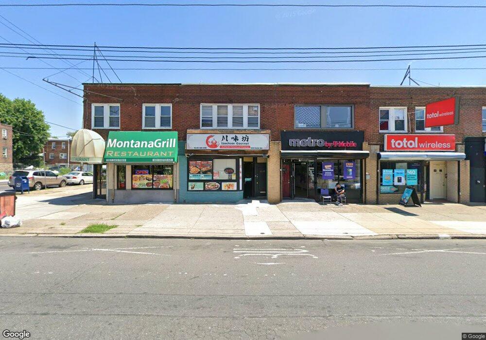
6649 Castor Ave Philadelphia, PA 19149
Castor Gardens NeighborhoodEstimated Value: $379,571
--
Bed
2
Baths
2,330
Sq Ft
$163/Sq Ft
Est. Value
About This Home
This home is located at 6649 Castor Ave, Philadelphia, PA 19149 and is currently estimated at $379,571, approximately $162 per square foot. 6649 Castor Ave is a home located in Philadelphia County with nearby schools including Gilbert Spruance School, Northeast High School, and Gospel of Grace Christian School.
Ownership History
Date
Name
Owned For
Owner Type
Purchase Details
Closed on
Apr 19, 2005
Sold by
Yi Gwang H and Yi Young Sook
Bought by
Choi Darl Y and Choi Yu S
Current Estimated Value
Purchase Details
Closed on
May 31, 2000
Sold by
Patitucci Franceso and Patitucci Silvana
Bought by
Yi Gwang H and Yi Young Sook
Home Financials for this Owner
Home Financials are based on the most recent Mortgage that was taken out on this home.
Original Mortgage
$70,000
Interest Rate
8.14%
Mortgage Type
Commercial
Create a Home Valuation Report for This Property
The Home Valuation Report is an in-depth analysis detailing your home's value as well as a comparison with similar homes in the area
Home Values in the Area
Average Home Value in this Area
Purchase History
| Date | Buyer | Sale Price | Title Company |
|---|---|---|---|
| Choi Darl Y | $150,000 | -- | |
| Yi Gwang H | $100,000 | -- |
Source: Public Records
Mortgage History
| Date | Status | Borrower | Loan Amount |
|---|---|---|---|
| Previous Owner | Yi Gwang H | $70,000 |
Source: Public Records
Tax History Compared to Growth
Tax History
| Year | Tax Paid | Tax Assessment Tax Assessment Total Assessment is a certain percentage of the fair market value that is determined by local assessors to be the total taxable value of land and additions on the property. | Land | Improvement |
|---|---|---|---|---|
| 2025 | $3,707 | $267,200 | $53,440 | $213,760 |
| 2024 | $3,707 | $267,200 | $53,440 | $213,760 |
| 2023 | $3,707 | $264,800 | $52,960 | $211,840 |
| 2022 | $3,707 | $264,800 | $52,960 | $211,840 |
| 2021 | $3,624 | $0 | $0 | $0 |
| 2020 | $3,624 | $0 | $0 | $0 |
| 2019 | $3,589 | $0 | $0 | $0 |
| 2018 | $3,491 | $0 | $0 | $0 |
| 2017 | $3,085 | $0 | $0 | $0 |
| 2016 | $3,085 | $0 | $0 | $0 |
| 2015 | $21,535 | $0 | $0 | $0 |
| 2014 | -- | $220,400 | $29,200 | $191,200 |
| 2012 | -- | $43,200 | $10,800 | $32,400 |
Source: Public Records
Map
Nearby Homes
- 6626 Lynford St
- 1425 Fanshawe St
- 1417 Unruh Ave
- 1437 Magee Ave
- 6739 Lynford St
- 1412 Magee Ave
- 1353 Fanshawe St
- 1353 Wells St
- 1431 Greeby St
- 6640 Souder St
- 1409 Greeby St
- 6827 Lynford St
- 6834 Large St
- 1343 Greeby St
- 1344 Greeby St
- 1304 Fanshawe St
- 6829 Horrocks St
- 1500 Hellerman St
- 1328 Greeby St
- 1326 Greeby St
- 6647 Castor Ave
- 6639 Castor Ave
- 6656 Rutland St
- 6654 Rutland St
- 6652 Rutland St
- 6650 Rutland St
- 6701 Castor Ave
- 6648 Rutland St
- 6646 Rutland St
- 6635 Castor Ave
- 6703 Castor Ave
- 6644 Rutland St
- 6700 Rutland St
- 6642 Rutland St
- 6705 Castor Ave
- 6702 Rutland St
- 6640 Rutland St
- 6707 Castor Ave
- 6709 Castor Ave
- 6704 Rutland St