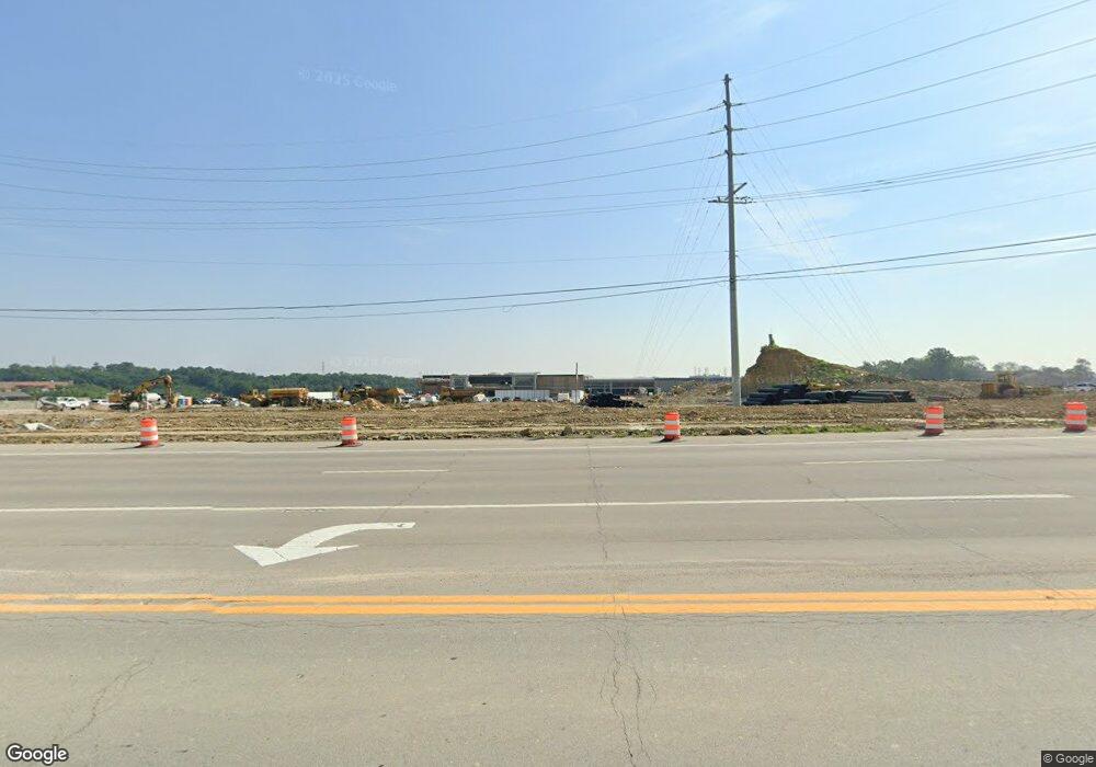
6649 Harvest Trail Newport, KY 41076
Estimated Value: $381,000 - $1,221,346
--
Bed
--
Bath
1,456
Sq Ft
$478/Sq Ft
Est. Value
About This Home
This home is located at 6649 Harvest Trail, Newport, KY 41076 and is currently estimated at $695,782, approximately $477 per square foot. 6649 Harvest Trail is a home located in Campbell County with nearby schools including Crossroads Elementary School, Campbell County Middle School, and Campbell County High School.
Ownership History
Date
Name
Owned For
Owner Type
Purchase Details
Closed on
Feb 12, 2024
Sold by
Aa Property Development Ltd
Bought by
Midland Csp Venture Llc
Current Estimated Value
Purchase Details
Closed on
Apr 18, 2011
Sold by
Real Estate Venture Capital Llc
Bought by
Aa Property Development Ltd
Purchase Details
Closed on
May 21, 2003
Sold by
Cavanaugh John G and Cavanaugh Lisa
Bought by
Real Estate Venture Capital Llc
Create a Home Valuation Report for This Property
The Home Valuation Report is an in-depth analysis detailing your home's value as well as a comparison with similar homes in the area
Home Values in the Area
Average Home Value in this Area
Purchase History
| Date | Buyer | Sale Price | Title Company |
|---|---|---|---|
| Midland Csp Venture Llc | $1,200,000 | Multi-State Title | |
| Aa Property Development Ltd | -- | None Available | |
| Real Estate Venture Capital Llc | $200,000 | -- |
Source: Public Records
Tax History Compared to Growth
Tax History
| Year | Tax Paid | Tax Assessment Tax Assessment Total Assessment is a certain percentage of the fair market value that is determined by local assessors to be the total taxable value of land and additions on the property. | Land | Improvement |
|---|---|---|---|---|
| 2024 | $2,972 | $242,000 | $163,200 | $78,800 |
| 2023 | $2,904 | $242,000 | $163,200 | $78,800 |
| 2022 | $3,034 | $242,000 | $163,200 | $78,800 |
| 2021 | $3,035 | $242,000 | $163,200 | $78,800 |
| 2020 | $3,067 | $242,000 | $163,200 | $78,800 |
| 2019 | $3,014 | $242,000 | $163,200 | $78,800 |
| 2018 | $3,034 | $242,000 | $163,200 | $78,800 |
| 2017 | $2,993 | $242,000 | $163,200 | $78,800 |
| 2016 | $2,931 | $242,000 | $0 | $0 |
| 2015 | $2,978 | $242,000 | $0 | $0 |
| 2014 | $2,903 | $242,000 | $0 | $0 |
Source: Public Records
Map
Nearby Homes
- 0 Aa-Hwy & Rocky View Unit 553765
- 368 Shadow Ridge Dr Unit 24B
- 208 Misty Cove Way
- 408 Millrace Dr
- 150 Hidden Ridge Ct
- 7268 Licking Pike
- 6903 E Alexandria Pike
- 6099 Cabin Creek Dr E
- 201 Thornbush Ct
- 405 Springmill Dr
- 107 Wayside Ct
- 411 Springmill Dr
- 34 Sabre Dr
- 0 Licking Pike Unit 637023
- 656 Streamside Lower Dr
- 6614 Heck Rd
- 714 Streamside Dr Unit L
- 6 Sabre Dr
- 500 Inverness Way
- 762 Yorkshire Dr
- 6641 Harvest Trail
- 6669 Harvest Trail
- 6635 Harvest Trail
- 5605 Alexandria Pike
- 5401 Alexandria Pike
- 6621 Harvest Trail
- 30B Rocky View Dr
- 1041 Rocky View Dr Unit 1045
- 1041 Rocky View Dr
- 5700 Alexandria Pike
- 5335 Alexandria Pike
- 5333 Alexandria Pike
- 6629 Harvest Trail
- 5315 Alexandria Pike
- 1102 Rocky View Dr
- 20 Rocky View Dr
- 21 Rocky View Dr
- 23 Rocky View Dr
- 1108 Rocky View Dr
- 100 Rocky View Dr
