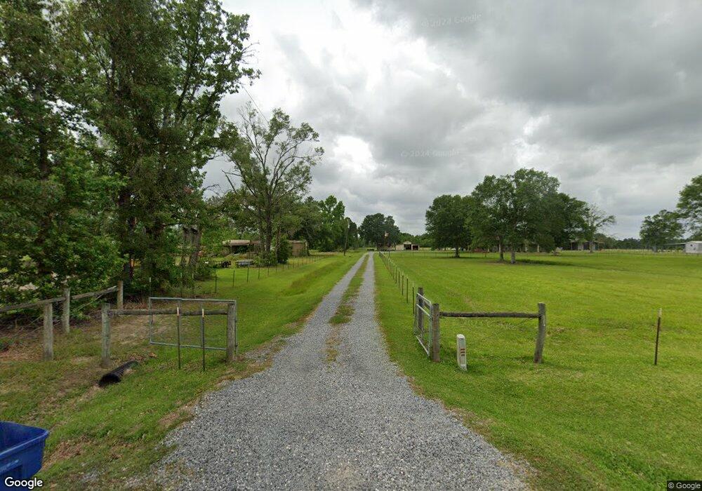
665 A Mouhot Rd Ragley, LA 70657
Estimated Value: $422,000 - $430,000
4
Beds
2
Baths
2,134
Sq Ft
$200/Sq Ft
Est. Value
About This Home
This home is located at 665 A Mouhot Rd, Ragley, LA 70657 and is currently estimated at $427,390, approximately $200 per square foot. 665 A Mouhot Rd is a home located in Beauregard Parish with nearby schools including South Beauregard Elementary School, South Beauregard Upper Elementary School, and South Beauregard High School.
Ownership History
Date
Name
Owned For
Owner Type
Purchase Details
Closed on
Sep 5, 2025
Sold by
Burton Brandon Michael and Burton Mandy Alicia
Bought by
Conrad Cody Paul and Angelle Lang Conrad Chelsie
Current Estimated Value
Purchase Details
Closed on
Apr 30, 2019
Sold by
Tower Ranald David and Tower Nancy Theresa Clifton
Bought by
Burton Brandon Michael and Burton Mandy Alica
Home Financials for this Owner
Home Financials are based on the most recent Mortgage that was taken out on this home.
Original Mortgage
$323,000
Interest Rate
4%
Mortgage Type
New Conventional
Purchase Details
Closed on
Jan 3, 2012
Sold by
Reeves Margaret Ann Berry and Reeves Mark Shane
Bought by
Tower Nancy Theresa Clifton and Tower Ronald David
Home Financials for this Owner
Home Financials are based on the most recent Mortgage that was taken out on this home.
Original Mortgage
$182,400
Interest Rate
4.03%
Create a Home Valuation Report for This Property
The Home Valuation Report is an in-depth analysis detailing your home's value as well as a comparison with similar homes in the area
Home Values in the Area
Average Home Value in this Area
Purchase History
| Date | Buyer | Sale Price | Title Company |
|---|---|---|---|
| Conrad Cody Paul | $425,000 | None Listed On Document | |
| Conrad Cody Paul | $425,000 | None Listed On Document | |
| Burton Brandon Michael | $340,000 | None Available | |
| Tower Nancy Theresa Clifton | $228,000 | Elite Title Insurance Agency |
Source: Public Records
Mortgage History
| Date | Status | Borrower | Loan Amount |
|---|---|---|---|
| Previous Owner | Burton Brandon Michael | $323,000 | |
| Previous Owner | Tower Nancy Theresa Clifton | $182,400 |
Source: Public Records
Tax History Compared to Growth
Tax History
| Year | Tax Paid | Tax Assessment Tax Assessment Total Assessment is a certain percentage of the fair market value that is determined by local assessors to be the total taxable value of land and additions on the property. | Land | Improvement |
|---|---|---|---|---|
| 2024 | $2,930 | $23,255 | $1,593 | $21,662 |
| 2023 | $2,997 | $22,895 | $1,233 | $21,662 |
| 2022 | $2,999 | $22,895 | $1,233 | $21,662 |
| 2021 | $2,999 | $22,895 | $1,233 | $21,662 |
| 2020 | $2,999 | $22,895 | $1,233 | $21,662 |
| 2019 | $2,505 | $18,886 | $1,231 | $17,655 |
| 2018 | $2,505 | $18,886 | $1,231 | $17,655 |
| 2017 | $2,510 | $18,929 | $1,274 | $17,655 |
| 2016 | $2,507 | $18,929 | $1,274 | $17,655 |
| 2015 | $1,461 | $18,879 | $1,224 | $17,655 |
| 2014 | $1,461 | $18,879 | $1,224 | $17,655 |
Source: Public Records
Map
Nearby Homes
- TBD Andrew Mouhot Rd
- 380 Andrew Mouhot Rd
- 294 Dave Cole Rd
- 0 Calla Lily Dr Unit 45-564
- 0 Calla Lily Dr Unit SWL24002558
- 0 Calla Lily Dr Unit SWL24006359
- 171 Hunter Rd
- 211 Hunter Rd
- 212 Hunter Rd
- 1757 Foreman Rd
- TBD Doe Rd
- 223 Fawn Trail
- 0 171 Hwy Unit SWL25002590
- 0 0 Ernie Cole Rd
- 0 Ernie Cole Rd
- 634 Coonie Jackson Rd
- 632 Coonie Jackson Rd
- 632 634 636 Coonie Jackson
- 111 Mike Dr
- 636 Coonie Jackson Rd
- 665 A Mouhot Rd
- 232 Andrew Mouhot Rd
- 0 Andrew Mohot Rd
- 692 Andrew Mouhot Rd
- 1001 Andrew Mouhot Rd
- 641 A Mouhot Rd
- 641 A Mouhot Rd
- 729 A Mouhot Rd
- 587 A Mouhot Rd
- 640 A Mouhot Rd
- 557 A Mouhot Rd
- 591 A Mouhot Rd
- 0 Andrew Mouhot Rd Unit SWL22009361
- 0 Andrew Mouhot Rd Unit 188087
- 0 Andrew Mouhot Rd Unit 190926
- 0 Andrew Mouhot Rd Unit 139123
- 0 Andrew Mouhot Rd Unit 160322
- 0 Andrew Mouhot Rd Unit 67310
- 0 Andrew Mouhot Rd Unit 88510
- 0 Andrew Mouhot Rd Unit 94693