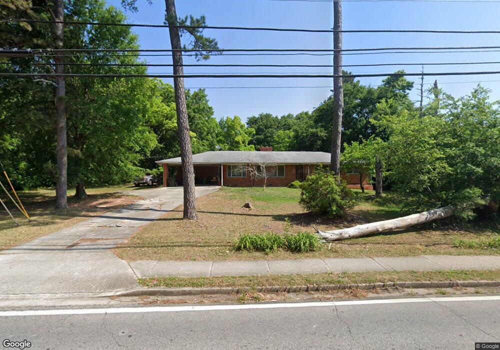
665 Collins Rd Toccoa, GA 30577
Estimated Value: $187,000 - $232,137
3
Beds
2
Baths
1,707
Sq Ft
$121/Sq Ft
Est. Value
About This Home
This home is located at 665 Collins Rd, Toccoa, GA 30577 and is currently estimated at $207,284, approximately $121 per square foot. 665 Collins Rd is a home located in Stephens County with nearby schools including Stephens County High School.
Ownership History
Date
Name
Owned For
Owner Type
Purchase Details
Closed on
Oct 24, 2023
Sold by
Bryant Stacy Renee Tr
Bought by
Bryant Stacy Renee Tr and Davis Family Irrev Mapt
Current Estimated Value
Purchase Details
Closed on
May 24, 2023
Sold by
Davis Russell R
Bought by
Bryant Stacy Renee
Purchase Details
Closed on
Feb 23, 2016
Sold by
Davis Ruth Smith
Bought by
Davis Russell Ray
Purchase Details
Closed on
Dec 3, 2002
Bought by
<Buyer Info Not Present>
Purchase Details
Closed on
Oct 1, 1998
Bought by
Davis Russell R
Create a Home Valuation Report for This Property
The Home Valuation Report is an in-depth analysis detailing your home's value as well as a comparison with similar homes in the area
Purchase History
| Date | Buyer | Sale Price | Title Company |
|---|---|---|---|
| Bryant Stacy Renee Tr | -- | -- | |
| Bryant Stacy Renee | -- | -- | |
| Davis Russell Ray | -- | -- | |
| <Buyer Info Not Present> | -- | -- | |
| Davis Russell R | -- | -- |
Source: Public Records
Tax History
| Year | Tax Paid | Tax Assessment Tax Assessment Total Assessment is a certain percentage of the fair market value that is determined by local assessors to be the total taxable value of land and additions on the property. | Land | Improvement |
|---|---|---|---|---|
| 2025 | $1,420 | $60,343 | $2,457 | $57,886 |
| 2024 | $1,464 | $41,054 | $2,457 | $38,597 |
| 2023 | $1,162 | $38,164 | $2,300 | $35,864 |
| 2022 | $1,020 | $34,265 | $2,300 | $31,965 |
| 2021 | $996 | $31,844 | $2,300 | $29,544 |
| 2020 | $1,005 | $31,833 | $2,300 | $29,533 |
| 2019 | $1,009 | $31,833 | $2,300 | $29,533 |
| 2018 | $1,016 | $32,055 | $2,522 | $29,533 |
| 2017 | $1,032 | $32,055 | $2,522 | $29,533 |
| 2016 | $1,016 | $32,054 | $2,521 | $29,533 |
| 2015 | $1,030 | $31,018 | $2,521 | $28,496 |
| 2014 | $1,047 | $31,018 | $2,522 | $28,497 |
| 2013 | -- | $36,841 | $2,521 | $34,320 |
Source: Public Records
Map
Nearby Homes
- 122 King St
- 27 Hilltop Ln
- 59 Sunset Ln
- 229 Hilltop Ln
- 0 Stephen Dr Unit 10662201
- 9 Poplar St
- 0 Hwy 17 Alt Unit 10577119
- 30 Moore Ave
- 0 Valley Dr Unit 7675761
- 0 Valley Dr Unit 10600268
- 45 Hayes St
- 526 Poplar St
- 128 Branch St
- 84 Park St
- 500 S Pond St
- 478 S Pond St
- 614 616 S Pond St
- 320 S Pond St
- 43 Pauline St
- 109 Schaefer Ct
Your Personal Tour Guide
Ask me questions while you tour the home.