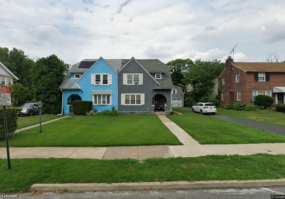
665 Cypress St Lansdowne, PA 19050
Estimated Value: $182,000 - $260,000
3
Beds
1
Bath
1,476
Sq Ft
$157/Sq Ft
Est. Value
About This Home
This home is located at 665 Cypress St, Lansdowne, PA 19050 and is currently estimated at $231,065, approximately $156 per square foot. 665 Cypress St is a home located in Delaware County with nearby schools including Evans Elementary School, Penn Wood Middle School, and Penn Wood High School - Cypress Street Campus.
Ownership History
Date
Name
Owned For
Owner Type
Purchase Details
Closed on
Jul 28, 2009
Sold by
Secretary Of Housing & Urban Development
Bought by
Ringgold Zakia S
Current Estimated Value
Home Financials for this Owner
Home Financials are based on the most recent Mortgage that was taken out on this home.
Original Mortgage
$116,787
Outstanding Balance
$76,726
Interest Rate
5.36%
Mortgage Type
FHA
Estimated Equity
$154,339
Purchase Details
Closed on
Apr 1, 2009
Sold by
Wells Fargo Bank Na
Bought by
Secretary Of Housing & Urban Development
Purchase Details
Closed on
Feb 19, 2009
Sold by
Powell Debra
Bought by
Wells Fargo Bank Na
Create a Home Valuation Report for This Property
The Home Valuation Report is an in-depth analysis detailing your home's value as well as a comparison with similar homes in the area
Home Values in the Area
Average Home Value in this Area
Purchase History
| Date | Buyer | Sale Price | Title Company |
|---|---|---|---|
| Ringgold Zakia S | $85,401 | None Available | |
| Secretary Of Housing & Urban Development | -- | None Available | |
| Wells Fargo Bank Na | -- | None Available |
Source: Public Records
Mortgage History
| Date | Status | Borrower | Loan Amount |
|---|---|---|---|
| Open | Ringgold Zakia S | $116,787 |
Source: Public Records
Tax History Compared to Growth
Tax History
| Year | Tax Paid | Tax Assessment Tax Assessment Total Assessment is a certain percentage of the fair market value that is determined by local assessors to be the total taxable value of land and additions on the property. | Land | Improvement |
|---|---|---|---|---|
| 2025 | $5,006 | $117,230 | $44,460 | $72,770 |
| 2024 | $5,006 | $117,230 | $44,460 | $72,770 |
| 2023 | $4,546 | $117,230 | $44,460 | $72,770 |
| 2022 | $4,335 | $117,230 | $44,460 | $72,770 |
| 2021 | $6,555 | $117,230 | $44,460 | $72,770 |
| 2020 | $4,852 | $77,690 | $25,670 | $52,020 |
| 2019 | $4,766 | $77,690 | $25,670 | $52,020 |
| 2018 | $4,700 | $77,690 | $0 | $0 |
| 2017 | $4,602 | $77,690 | $0 | $0 |
| 2016 | $426 | $77,690 | $0 | $0 |
| 2015 | $426 | $77,690 | $0 | $0 |
| 2014 | $426 | $77,690 | $0 | $0 |
Source: Public Records
Map
Nearby Homes
- 1016 Whitby Ave
- 536 Cypress St
- 813 Arbor Rd
- 740 Church Ln
- 702 Cedar Ave
- 711 Yeadon Ave Unit 1
- 825 Laurel Rd
- 722 Yeadon Ave
- 800 Bullock Ave
- 537 Orchard Ave
- 503 Bonsall Ave
- 808 Serrill Ave
- 530 Orchard Ave
- 908 Yeadon Ave
- 435 Bonsall Ave
- 407 Church Ln
- 921 Serrill Ave
- 939 Serrill Ave
- 6030 Cedarhurst St
- 1781 S 65th St