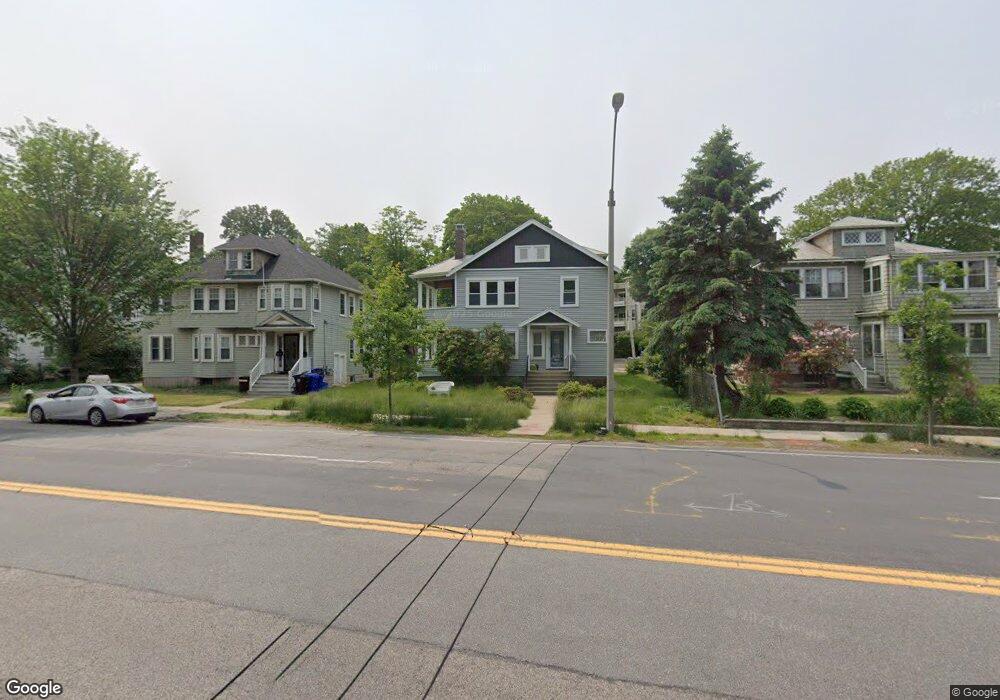
665 Hammond St Chestnut Hill, MA 02467
Chestnut Hill NeighborhoodEstimated Value: $1,407,219 - $1,955,000
6
Beds
2
Baths
2,464
Sq Ft
$691/Sq Ft
Est. Value
About This Home
This home is located at 665 Hammond St, Chestnut Hill, MA 02467 and is currently estimated at $1,702,305, approximately $690 per square foot. 665 Hammond St is a home located in Norfolk County with nearby schools including Baker School, Brimmer & May School, and Mount Alvernia Academy.
Ownership History
Date
Name
Owned For
Owner Type
Purchase Details
Closed on
Aug 22, 1997
Sold by
Smith David J
Bought by
Wong Ronald and Wong Anny L
Current Estimated Value
Home Financials for this Owner
Home Financials are based on the most recent Mortgage that was taken out on this home.
Original Mortgage
$245,000
Outstanding Balance
$36,336
Interest Rate
7.42%
Mortgage Type
Purchase Money Mortgage
Estimated Equity
$1,665,970
Create a Home Valuation Report for This Property
The Home Valuation Report is an in-depth analysis detailing your home's value as well as a comparison with similar homes in the area
Home Values in the Area
Average Home Value in this Area
Purchase History
| Date | Buyer | Sale Price | Title Company |
|---|---|---|---|
| Wong Ronald | $361,000 | -- |
Source: Public Records
Mortgage History
| Date | Status | Borrower | Loan Amount |
|---|---|---|---|
| Open | Wong Ronald | $245,000 |
Source: Public Records
Tax History Compared to Growth
Tax History
| Year | Tax Paid | Tax Assessment Tax Assessment Total Assessment is a certain percentage of the fair market value that is determined by local assessors to be the total taxable value of land and additions on the property. | Land | Improvement |
|---|---|---|---|---|
| 2025 | $11,732 | $1,188,700 | $689,100 | $499,600 |
| 2024 | $11,488 | $1,175,800 | $662,600 | $513,200 |
| 2023 | $11,635 | $1,167,000 | $603,300 | $563,700 |
| 2022 | $11,325 | $1,111,400 | $574,500 | $536,900 |
| 2021 | $10,472 | $1,068,600 | $552,400 | $516,200 |
| 2020 | $9,811 | $1,038,200 | $502,200 | $536,000 |
| 2019 | $9,264 | $988,700 | $478,300 | $510,400 |
| 2018 | $8,969 | $948,100 | $468,900 | $479,200 |
| 2017 | $8,674 | $877,900 | $442,400 | $435,500 |
| 2016 | $8,316 | $798,100 | $413,400 | $384,700 |
| 2015 | $7,749 | $725,600 | $386,500 | $339,100 |
| 2014 | $7,560 | $663,700 | $355,400 | $308,300 |
Source: Public Records
Map
Nearby Homes
- 3 Glenoe Rd
- 0 Glenoe Rd
- 76 Norfolk Rd
- 15 Glenland Rd
- 1014 Boylston St
- 335 Heath St
- 138 Woodland Rd
- 11 Hammond Pond Pkwy Unit 3
- 33 Hammond Pond Pkwy Unit 2
- 321 Hammond Pond Pkwy Unit 103
- 321 Hammond Pond Pkwy Unit 301
- 771 Heath St Unit 771
- 809-811 Heath St Unit 811
- 799 Heath St Unit 2
- 174 Middlesex Rd
- 811 Heath St
- 130 Cabot St
- 5 Heathwood Ln
- 142 Crafts Rd
- 85 Gate House Rd
- 665 Hammond St Unit 2
- 671 Hammond St
- 671 Hammond St Unit 2,671
- 671 Hammond St Unit 2
- 671 Hammond St Unit 1
- 661 Hammond St
- 663 Hammond St
- 663 Hammond St
- 663 Hammond St Unit 1
- 675 Hammond St Unit 1
- 675 Hammond St Unit 2
- 675 Hammond St
- 675 Hammond St Unit 3 675
- 655 Hammond St
- 655 Hammond St Unit 2
- 673 Hammond St
- 675 Hammond St Unit 2
- 675A Hammond St
- 676 Hammond St
- 677 Hammond St