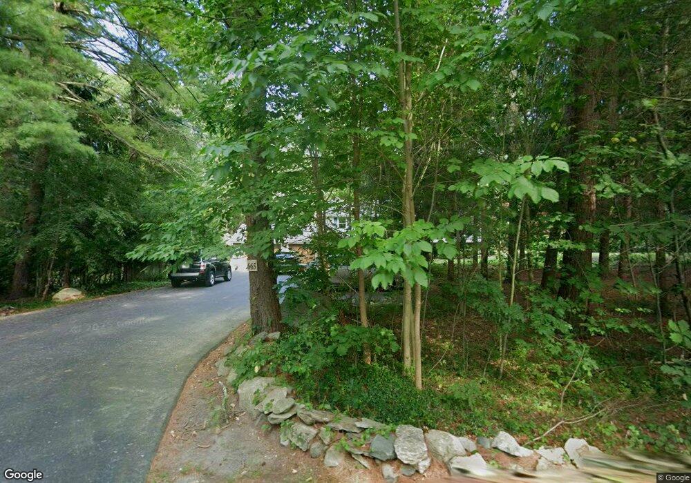
665 Hill St Raynham, MA 02767
Estimated Value: $609,305 - $643,000
3
Beds
2
Baths
1,768
Sq Ft
$354/Sq Ft
Est. Value
About This Home
This home is located at 665 Hill St, Raynham, MA 02767 and is currently estimated at $625,326, approximately $353 per square foot. 665 Hill St is a home located in Bristol County with nearby schools including LaLiberte Elementary School, Merrill Elementary School, and Williams Intermediate School.
Ownership History
Date
Name
Owned For
Owner Type
Purchase Details
Closed on
Jul 1, 2024
Sold by
Mccoy-Morgan Beverly S
Bought by
Mccoy Michael P and Mccoy Helena M
Current Estimated Value
Purchase Details
Closed on
Mar 12, 2013
Sold by
Mccoy-Morgan Beverly S
Bought by
Mccoy-Morgan Beverly S and Morgan William R
Purchase Details
Closed on
May 24, 1977
Bought by
Mccoy-Morgan Beverly S and Morgan William R
Create a Home Valuation Report for This Property
The Home Valuation Report is an in-depth analysis detailing your home's value as well as a comparison with similar homes in the area
Home Values in the Area
Average Home Value in this Area
Purchase History
| Date | Buyer | Sale Price | Title Company |
|---|---|---|---|
| Mccoy Michael P | -- | None Available | |
| Mccoy Michael P | -- | None Available | |
| Mccoy-Morgan Beverly S | -- | -- | |
| Mccoy-Morgan Beverly S | $57,300 | -- | |
| Mccoy-Morgan Beverly S | -- | -- |
Source: Public Records
Tax History
| Year | Tax Paid | Tax Assessment Tax Assessment Total Assessment is a certain percentage of the fair market value that is determined by local assessors to be the total taxable value of land and additions on the property. | Land | Improvement |
|---|---|---|---|---|
| 2025 | $6,717 | $555,100 | $224,300 | $330,800 |
| 2024 | $6,646 | $535,100 | $204,300 | $330,800 |
| 2023 | $6,259 | $460,200 | $183,700 | $276,500 |
| 2022 | $6,261 | $422,200 | $173,700 | $248,500 |
| 2021 | $5,926 | $403,400 | $163,700 | $239,700 |
| 2020 | $5,595 | $388,300 | $155,700 | $232,600 |
| 2019 | $5,383 | $378,300 | $145,700 | $232,600 |
| 2018 | $5,051 | $339,000 | $137,700 | $201,300 |
| 2017 | $4,760 | $316,700 | $131,700 | $185,000 |
| 2016 | $4,684 | $312,700 | $127,700 | $185,000 |
| 2015 | $4,269 | $280,100 | $131,800 | $148,300 |
Source: Public Records
Map
Nearby Homes
- 22 Highland Rd Unit 29
- 532 Hill St
- 55 Bally Dr
- 0 Oxbow Rd Unit 20-3
- 0 Oxbow Rd Unit 39
- 0 Oxbow Rd Unit 44-1
- 0 Oxbow Rd Unit 44-3
- 4 Emerald Place
- 42 Oxbow Rd Unit 20-1
- 75 Oxbow Rd Unit 38-3
- 60 Oxbow Rd Unit 40-2
- 71 Oxbow Rd Unit 38-1
- 65 Oxbow Rd
- 77 Oxbow Rd Unit 39-1
- 91 Oxbow Rd Unit 43-2
- 65 Oxbow Rd Unit 37-1
- 66 Oxbow Rd Unit 2
- 60 Oxbow Rd
- 51 Tucker Terrace
- 7 Anna St
- 653 Hill St
- 675 Hill St
- 636 Hill St
- 693 Hill St
- 17 Essex Cir Unit 5
- 17 Essex Cir Unit 4
- 17 Essex Cir Unit 21
- 17 Essex Cir Unit 25
- 17 Essex Cir Unit 24
- 17 Essex Cir Unit 22
- 17 Essex Cir Unit 23
- 17 Essex Cir Unit 3
- 621 Hill St
- 28 Essex Cir Unit 9
- 28 Essex Cir Unit 8
- 28 Essex Cir Unit 7
- 28 Essex Cir Unit 6
- 683 Hill St
- 22 Highland Rd Unit 30
- 22 Highland Rd Unit 27
Your Personal Tour Guide
Ask me questions while you tour the home.