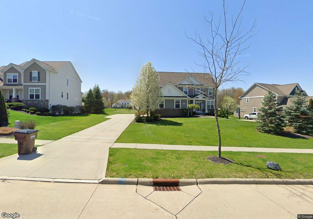
665 Joseph Dr Aurora, OH 44202
Estimated Value: $715,000 - $892,000
4
Beds
4
Baths
3,696
Sq Ft
$219/Sq Ft
Est. Value
About This Home
This home is located at 665 Joseph Dr, Aurora, OH 44202 and is currently estimated at $810,465, approximately $219 per square foot. 665 Joseph Dr is a home with nearby schools including Miller Elementary School, Craddock/Miller Elementary School, and Leighton Elementary School.
Ownership History
Date
Name
Owned For
Owner Type
Purchase Details
Closed on
Mar 4, 2013
Sold by
Pulte Homes Of Ohio Llc
Bought by
Alexander Joseph N and Alexander Melissa M
Current Estimated Value
Home Financials for this Owner
Home Financials are based on the most recent Mortgage that was taken out on this home.
Original Mortgage
$386,891
Outstanding Balance
$272,399
Interest Rate
3.49%
Mortgage Type
New Conventional
Estimated Equity
$538,066
Purchase Details
Closed on
Apr 15, 2011
Sold by
Hawthorn Of Aurora Limited Partnership
Bought by
Pulte Homes Of Ohio Llc
Create a Home Valuation Report for This Property
The Home Valuation Report is an in-depth analysis detailing your home's value as well as a comparison with similar homes in the area
Home Values in the Area
Average Home Value in this Area
Purchase History
| Date | Buyer | Sale Price | Title Company |
|---|---|---|---|
| Alexander Joseph N | $398,900 | None Available | |
| Pulte Homes Of Ohio Llc | $877,500 | Attorney |
Source: Public Records
Mortgage History
| Date | Status | Borrower | Loan Amount |
|---|---|---|---|
| Open | Alexander Joseph N | $386,891 |
Source: Public Records
Tax History Compared to Growth
Tax History
| Year | Tax Paid | Tax Assessment Tax Assessment Total Assessment is a certain percentage of the fair market value that is determined by local assessors to be the total taxable value of land and additions on the property. | Land | Improvement |
|---|---|---|---|---|
| 2024 | $10,869 | $243,150 | $35,000 | $208,150 |
| 2023 | $9,891 | $180,150 | $31,500 | $148,650 |
| 2022 | $8,957 | $180,150 | $31,500 | $148,650 |
| 2021 | $9,008 | $180,150 | $31,500 | $148,650 |
| 2020 | $8,566 | $159,640 | $31,500 | $128,140 |
| 2019 | $8,634 | $159,640 | $31,500 | $128,140 |
| 2018 | $8,995 | $151,450 | $29,750 | $121,700 |
| 2017 | $8,995 | $151,450 | $29,750 | $121,700 |
| 2016 | $8,104 | $151,450 | $29,750 | $121,700 |
| 2015 | $8,334 | $151,450 | $29,750 | $121,700 |
| 2014 | $8,223 | $142,420 | $29,750 | $112,670 |
| 2013 | $1,707 | $29,750 | $29,750 | $0 |
Source: Public Records
Map
Nearby Homes
- S/L 4 Trentstone Cir
- S/L 15 Trentstone Cir
- S/L 8 Trentstone Cir
- S/L 1 Trentstone Cir
- S/L 3 Iris Place
- 805 Club Dr W
- 825 Club Dr W
- 777 Nancy Dr
- 762 Club Dr W
- 810 Club Dr W
- 752 Club Dr W
- 830 Club Dr W
- 640 Club Dr W
- 622 Club Dr W
- 676 Nancy Dr
- 794 Robinhood Dr
- 705 Club Dr
- 915 Cimarron Oval
- 965-1 Memory Ln
- 970-2 Memory Ln