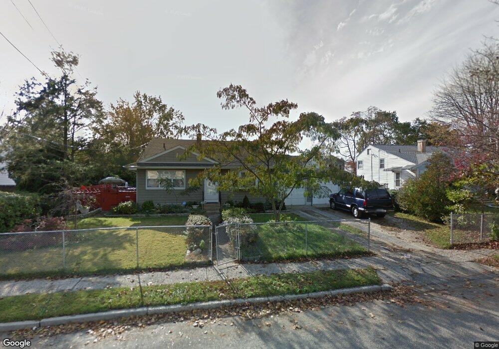
665 N Lewis Ave Lindenhurst, NY 11757
Estimated Value: $559,497 - $700,000
--
Bed
1
Bath
1,296
Sq Ft
$492/Sq Ft
Est. Value
About This Home
This home is located at 665 N Lewis Ave, Lindenhurst, NY 11757 and is currently estimated at $637,374, approximately $491 per square foot. 665 N Lewis Ave is a home located in Suffolk County with nearby schools including Daniel Street School, Lindenhurst Middle School, and Lindenhurst Senior High School.
Ownership History
Date
Name
Owned For
Owner Type
Purchase Details
Closed on
Jul 7, 1999
Sold by
Tammone Mary
Bought by
Tammone Dominick and Tammone Debra A
Current Estimated Value
Home Financials for this Owner
Home Financials are based on the most recent Mortgage that was taken out on this home.
Original Mortgage
$86,912
Outstanding Balance
$24,210
Interest Rate
7.49%
Mortgage Type
FHA
Estimated Equity
$613,164
Create a Home Valuation Report for This Property
The Home Valuation Report is an in-depth analysis detailing your home's value as well as a comparison with similar homes in the area
Home Values in the Area
Average Home Value in this Area
Purchase History
| Date | Buyer | Sale Price | Title Company |
|---|---|---|---|
| Tammone Dominick | $150,000 | -- |
Source: Public Records
Mortgage History
| Date | Status | Borrower | Loan Amount |
|---|---|---|---|
| Open | Tammone Dominick | $86,912 |
Source: Public Records
Tax History Compared to Growth
Tax History
| Year | Tax Paid | Tax Assessment Tax Assessment Total Assessment is a certain percentage of the fair market value that is determined by local assessors to be the total taxable value of land and additions on the property. | Land | Improvement |
|---|---|---|---|---|
| 2024 | $12,699 | $3,640 | $340 | $3,300 |
| 2023 | $11,506 | $3,640 | $340 | $3,300 |
| 2022 | $9,757 | $3,640 | $340 | $3,300 |
| 2021 | $9,757 | $3,640 | $340 | $3,300 |
| 2020 | $10,238 | $3,640 | $340 | $3,300 |
| 2019 | $11,291 | $0 | $0 | $0 |
| 2018 | $9,659 | $3,640 | $340 | $3,300 |
| 2017 | $9,659 | $3,640 | $340 | $3,300 |
| 2016 | $9,699 | $3,640 | $340 | $3,300 |
| 2015 | -- | $3,640 | $340 | $3,300 |
| 2014 | -- | $3,640 | $340 | $3,300 |
Source: Public Records
Map
Nearby Homes
- 557 N Kings Ave
- 656 N Greene Ave
- 465 N Monroe Ave
- 457 N Monroe Ave
- 475 N Putnam Ave
- 417 N Monroe Ave
- 436 N Ontario Ave
- 449 N Indiana Ave
- 480 N Greene Ave
- 468 N Greene Ave
- 957 N Fulton Ave
- 166 & 170 Woodrow Pkwy
- 404 N Putnam Ave
- 681 N Clinton Ave
- 1037 N Niagara Ave
- 940 N Erie Ave
- 669 East Dr
- 456 Heathcote Rd
- 34 Karen St
- 126 Farmers Ave
- 657 N Lewis Ave
- 681 N Lewis Ave
- 668 N Kings Ave
- 656 N Kings Ave
- 680 N Kings Ave
- 645 N Lewis Ave
- 672 N Lewis Ave
- 691 N Lewis Ave
- 664 N Lewis Ave
- 680 N Lewis Ave
- 656 N Lewis Ave
- 644 N Kings Ave
- 690 N Kings Ave
- 688 N Lewis Ave
- 648 N Lewis Ave
- 692 N Lewis Ave
- 633 N Lewis Ave
- 699 N Lewis Ave
- 632 N Kings Ave
- 285 Frank St