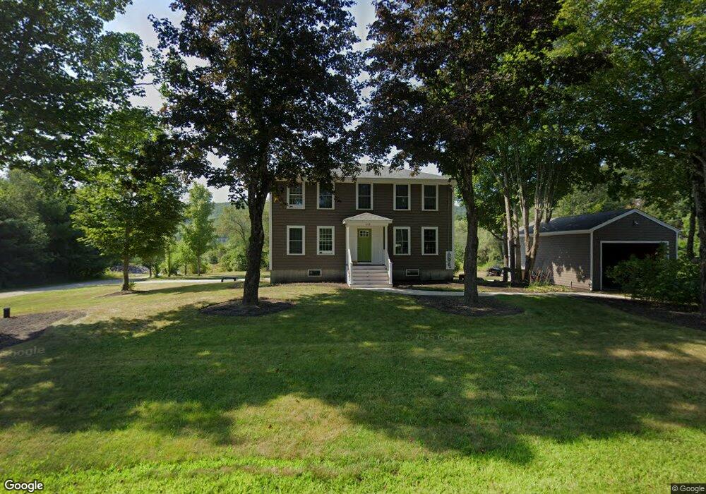
665 North Rd Parsonsfield, ME 04047
Estimated Value: $323,000 - $433,000
--
Bed
--
Bath
988
Sq Ft
$370/Sq Ft
Est. Value
About This Home
This home is located at 665 North Rd, Parsonsfield, ME 04047 and is currently estimated at $365,367, approximately $369 per square foot. 665 North Rd is a home.
Ownership History
Date
Name
Owned For
Owner Type
Purchase Details
Closed on
Jun 6, 2019
Sold by
Smith Justina H and Smith James M
Bought by
Smith Shannon L and Smith Adam J
Current Estimated Value
Home Financials for this Owner
Home Financials are based on the most recent Mortgage that was taken out on this home.
Original Mortgage
$242,500
Outstanding Balance
$212,767
Interest Rate
4.2%
Mortgage Type
Stand Alone Refi Refinance Of Original Loan
Estimated Equity
$152,600
Purchase Details
Closed on
Nov 16, 2015
Sold by
Benson Mary G
Bought by
Smith 3Rd James M and Smith Justina H
Purchase Details
Closed on
Jun 16, 2005
Sold by
Tanguay Linda L
Bought by
Benson Mary G
Create a Home Valuation Report for This Property
The Home Valuation Report is an in-depth analysis detailing your home's value as well as a comparison with similar homes in the area
Home Values in the Area
Average Home Value in this Area
Purchase History
| Date | Buyer | Sale Price | Title Company |
|---|---|---|---|
| Smith Shannon L | -- | Stewart Title | |
| Smith Shannon L | -- | Stewart Title | |
| Smith Shannon L | -- | Stewart Title | |
| Smith 3Rd James M | -- | -- | |
| Smith 3Rd James M | -- | -- | |
| Benson Mary G | -- | -- | |
| Benson Mary G | -- | -- |
Source: Public Records
Mortgage History
| Date | Status | Borrower | Loan Amount |
|---|---|---|---|
| Open | Smith Shannon L | $242,500 | |
| Closed | Smith Shannon L | $242,500 |
Source: Public Records
Tax History Compared to Growth
Tax History
| Year | Tax Paid | Tax Assessment Tax Assessment Total Assessment is a certain percentage of the fair market value that is determined by local assessors to be the total taxable value of land and additions on the property. | Land | Improvement |
|---|---|---|---|---|
| 2024 | $3,605 | $214,607 | $49,300 | $165,307 |
| 2023 | $3,477 | $214,607 | $49,300 | $165,307 |
| 2022 | $3,326 | $214,607 | $49,300 | $165,307 |
| 2021 | $3,316 | $214,607 | $49,300 | $165,307 |
| 2020 | $3,251 | $214,607 | $49,300 | $165,307 |
| 2019 | $3,198 | $214,607 | $49,300 | $165,307 |
| 2017 | $1,823 | $122,342 | $41,300 | $81,042 |
| 2016 | $1,002 | $67,217 | $41,300 | $25,917 |
| 2015 | $1,298 | $86,504 | $41,300 | $45,204 |
| 2013 | $1,263 | $86,504 | $41,300 | $45,204 |
Source: Public Records
Map
Nearby Homes
- 8 Pennie Ln
- 11 Penny Ln
- 196 Chase Rd
- 0 S River Ln Unit 1641807
- Lot #00 North Rd
- Lot# 01 North Rd
- Lot #02 North Rd
- 761 Pendexter Rd
- Lot 1 Moulton Hill Rd
- R3-32 Ossipee Trail
- 00 Pratt Rd
- 62 Eastman Hill Rd
- 424 Maplecrest Rd
- 206 Gilman Rd
- 27 Nocturne Rd
- 122 Ossipee Trail
- 1108 Ossipee Trail
- 178 Maplecrest Rd
- 32 Rufus Mountain Rd
- 12 Main St