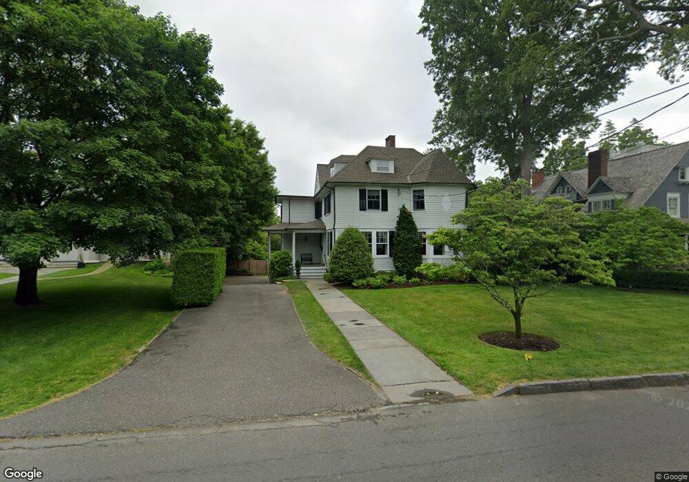
665 Pequot Ave Southport, CT 06890
Southport NeighborhoodEstimated Value: $2,708,588 - $3,782,000
6
Beds
4
Baths
4,293
Sq Ft
$747/Sq Ft
Est. Value
About This Home
This home is located at 665 Pequot Ave, Southport, CT 06890 and is currently estimated at $3,206,647, approximately $746 per square foot. 665 Pequot Ave is a home located in Fairfield County with nearby schools including Mill Hill School, Roger Ludlowe Middle School, and Fairfield Ludlowe High School.
Ownership History
Date
Name
Owned For
Owner Type
Purchase Details
Closed on
Apr 30, 2019
Sold by
Schlaefer Boyd H and Mcbride Michele M
Bought by
Lovato Candice V and Delgado Francisco
Current Estimated Value
Home Financials for this Owner
Home Financials are based on the most recent Mortgage that was taken out on this home.
Original Mortgage
$399,999
Outstanding Balance
$352,387
Interest Rate
4.3%
Mortgage Type
New Conventional
Estimated Equity
$2,854,260
Create a Home Valuation Report for This Property
The Home Valuation Report is an in-depth analysis detailing your home's value as well as a comparison with similar homes in the area
Home Values in the Area
Average Home Value in this Area
Purchase History
| Date | Buyer | Sale Price | Title Company |
|---|---|---|---|
| Lovato Candice V | $399,999 | -- |
Source: Public Records
Mortgage History
| Date | Status | Borrower | Loan Amount |
|---|---|---|---|
| Open | Lovato Candice V | $399,999 | |
| Previous Owner | Lovato Candice V | $425,000 |
Source: Public Records
Tax History Compared to Growth
Tax History
| Year | Tax Paid | Tax Assessment Tax Assessment Total Assessment is a certain percentage of the fair market value that is determined by local assessors to be the total taxable value of land and additions on the property. | Land | Improvement |
|---|---|---|---|---|
| 2025 | $33,577 | $1,182,720 | $494,480 | $688,240 |
| 2024 | $32,998 | $1,182,720 | $494,480 | $688,240 |
| 2023 | $32,537 | $1,182,720 | $494,480 | $688,240 |
| 2022 | $32,217 | $1,182,720 | $494,480 | $688,240 |
| 2021 | $31,910 | $1,182,720 | $494,480 | $688,240 |
| 2020 | $37,707 | $1,407,490 | $501,550 | $905,940 |
| 2019 | $37,707 | $1,407,490 | $501,550 | $905,940 |
| 2018 | $37,101 | $1,407,490 | $501,550 | $905,940 |
| 2017 | $36,341 | $1,407,490 | $501,550 | $905,940 |
| 2016 | $35,821 | $1,407,490 | $501,550 | $905,940 |
| 2015 | $36,639 | $1,477,980 | $564,410 | $913,570 |
| 2014 | $36,063 | $1,477,980 | $564,410 | $913,570 |
Source: Public Records
Map
Nearby Homes
- 944 Pequot Ave
- 2 Elmwood Dr Unit 2
- 260 Willow St
- 305 S Gate Ln
- 153 Pease Ave
- 28 Mill Hill Rd Unit 28
- 828 Sasco Hill Rd
- 844 Mill Hill Terrace
- 775 Sasco Hill Rd
- 342 Greens Farms Rd
- 53 Hilltop Dr
- 100 Overhill Rd
- 88 Overhill Rd
- 220 Lansdowne
- 1131 Sasco Hill Rd
- 154 Gorham Rd
- 85 Patrick Dr
- 972 S Pine Creek Rd
- 476 Mill Hill Terrace
- 209 S Pine Creek Rd