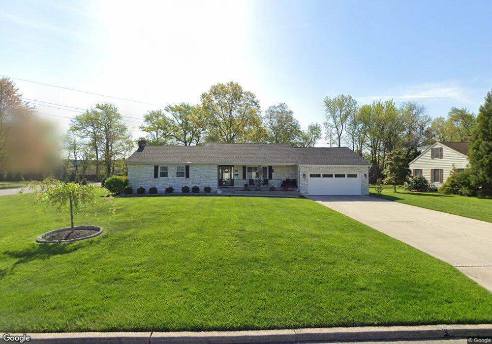
665 Pieta Ct Gibbstown, NJ 08027
Greenwich Township NeighborhoodEstimated Value: $319,759 - $407,000
--
Bed
--
Bath
1,486
Sq Ft
$252/Sq Ft
Est. Value
About This Home
This home is located at 665 Pieta Ct, Gibbstown, NJ 08027 and is currently estimated at $375,190, approximately $252 per square foot. 665 Pieta Ct is a home located in Gloucester County with nearby schools including Nehaunsey Middle School and Guardian Angels Regional School.
Ownership History
Date
Name
Owned For
Owner Type
Purchase Details
Closed on
Sep 12, 2023
Sold by
Porretta Nicholas
Bought by
Bonnie Porrena
Current Estimated Value
Purchase Details
Closed on
Aug 25, 2020
Sold by
Ma Sdira Llc
Bought by
Porretta Nicholas and Porretta Bonnie
Purchase Details
Closed on
Feb 5, 2020
Sold by
Sebastiani Luigi and Estate Of Berardino Sebastiani
Bought by
Cama Soira Llc
Purchase Details
Closed on
Jan 16, 1979
Bought by
Sebastiani Berardino
Create a Home Valuation Report for This Property
The Home Valuation Report is an in-depth analysis detailing your home's value as well as a comparison with similar homes in the area
Home Values in the Area
Average Home Value in this Area
Purchase History
| Date | Buyer | Sale Price | Title Company |
|---|---|---|---|
| Bonnie Porrena | -- | None Listed On Document | |
| Porrena Bonnie | -- | None Listed On Document | |
| Porretta Nicholas | $265,000 | Homestead Title Agency Inc | |
| Cama Soira Llc | $150,000 | Homestead Title Ageny Inc | |
| Sebastiani Berardino | -- | -- |
Source: Public Records
Tax History Compared to Growth
Tax History
| Year | Tax Paid | Tax Assessment Tax Assessment Total Assessment is a certain percentage of the fair market value that is determined by local assessors to be the total taxable value of land and additions on the property. | Land | Improvement |
|---|---|---|---|---|
| 2025 | $6,993 | $203,100 | $41,900 | $161,200 |
| 2024 | $6,625 | $203,100 | $41,900 | $161,200 |
| 2023 | $6,625 | $203,100 | $41,900 | $161,200 |
| 2022 | $6,629 | $203,100 | $41,900 | $161,200 |
| 2021 | $6,560 | $203,100 | $41,900 | $161,200 |
| 2020 | $6,652 | $203,100 | $41,900 | $161,200 |
| 2019 | $6,656 | $203,100 | $41,900 | $161,200 |
| 2018 | $6,467 | $203,100 | $41,900 | $161,200 |
| 2017 | $6,310 | $203,100 | $41,900 | $161,200 |
| 2016 | $6,241 | $203,100 | $41,900 | $161,200 |
| 2015 | $6,040 | $203,100 | $41,900 | $161,200 |
| 2014 | $5,780 | $203,100 | $41,900 | $161,200 |
Source: Public Records
Map
Nearby Homes
- 0 Swedesboro Ave Unit NJGL2061592
- 456 Freund Ave
- 330 Croce Ave
- 0 S Democrat Rd Unit NJGL2065008
- 219 Vanneman Blvd
- W Broad St
- 255 Elizabeth Ave
- 1224 Heddon Ave
- 1214 Walter Ave
- L18 20 W Broad St
- 335 W Buck St
- 410 Country Way
- 344 W Washington St
- 269 W Broad St
- 1534 Pine St
- 1519 Pine St
- 1043 Penn Line Rd
- 227 W Buck St
- 122 W Washington St
- 0 Lodge Ave