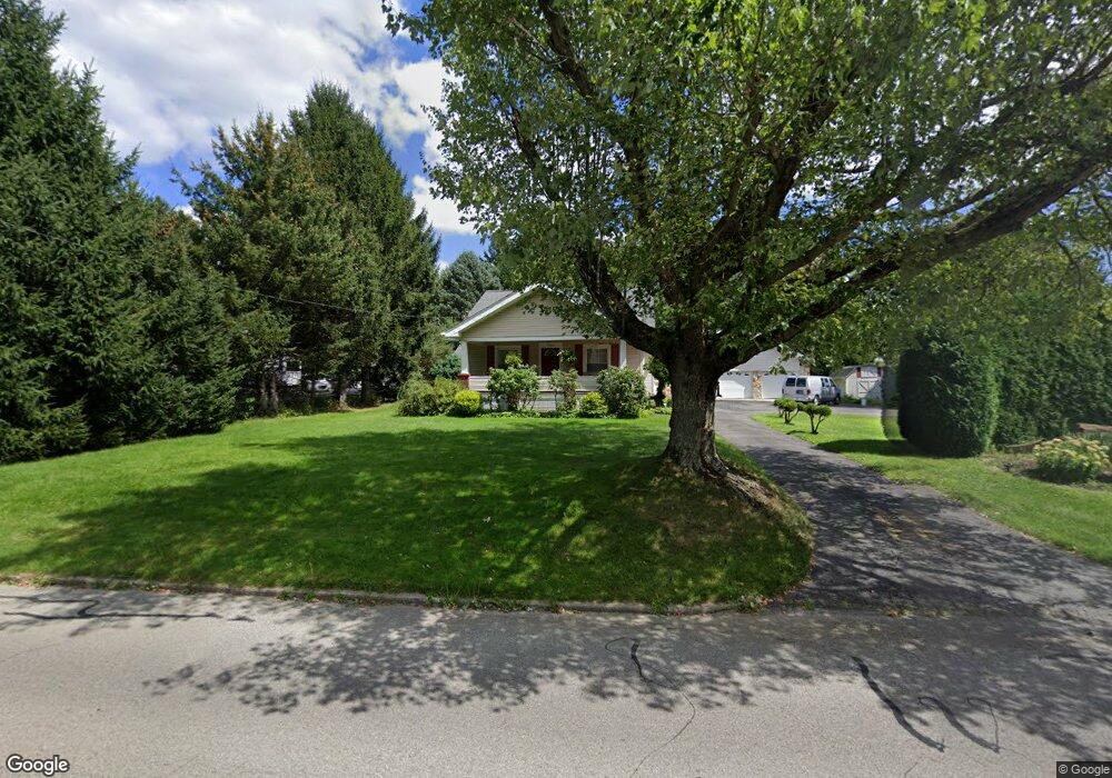
665 S 7th St Sharpsville, PA 16150
Estimated Value: $54,450 - $154,000
--
Bed
--
Bath
--
Sq Ft
9,060
Sq Ft Lot
About This Home
This home is located at 665 S 7th St, Sharpsville, PA 16150 and is currently estimated at $113,113. 665 S 7th St is a home located in Mercer County with nearby schools including Sharpsville Area Elementary School, Sharpsville Area Middle School, and Sharpsville Area Senior High School.
Ownership History
Date
Name
Owned For
Owner Type
Purchase Details
Closed on
Aug 24, 2009
Sold by
G8 Capital Fund V Llc
Bought by
Sikora Stefan
Current Estimated Value
Purchase Details
Closed on
Jun 19, 2009
Sold by
Deutsche Bank National Trust Company
Bought by
G8 Capital Fund V Llc
Purchase Details
Closed on
Nov 24, 2008
Sold by
Karkoska Adeline and Karkoska Jason
Bought by
Deutsche Bank National Trust Company
Purchase Details
Closed on
Mar 29, 2006
Sold by
Tonty Donald C and Tonty Deanna L
Bought by
Karkoska Adeline and Karkoska Jason
Home Financials for this Owner
Home Financials are based on the most recent Mortgage that was taken out on this home.
Original Mortgage
$93,100
Interest Rate
6.32%
Mortgage Type
New Conventional
Create a Home Valuation Report for This Property
The Home Valuation Report is an in-depth analysis detailing your home's value as well as a comparison with similar homes in the area
Home Values in the Area
Average Home Value in this Area
Purchase History
| Date | Buyer | Sale Price | Title Company |
|---|---|---|---|
| Sikora Stefan | $25,900 | None Available | |
| G8 Capital Fund V Llc | $7,525 | None Available | |
| Deutsche Bank National Trust Company | -- | None Available | |
| Karkoska Adeline | $98,000 | None Available |
Source: Public Records
Mortgage History
| Date | Status | Borrower | Loan Amount |
|---|---|---|---|
| Previous Owner | Karkoska Adeline | $93,100 |
Source: Public Records
Tax History Compared to Growth
Tax History
| Year | Tax Paid | Tax Assessment Tax Assessment Total Assessment is a certain percentage of the fair market value that is determined by local assessors to be the total taxable value of land and additions on the property. | Land | Improvement |
|---|---|---|---|---|
| 2025 | $1,779 | $13,000 | $1,800 | $11,200 |
| 2024 | $1,779 | $13,000 | $1,800 | $11,200 |
| 2023 | $1,733 | $13,000 | $1,800 | $11,200 |
| 2022 | $1,701 | $13,000 | $1,800 | $11,200 |
| 2021 | $1,701 | $13,000 | $1,800 | $11,200 |
| 2020 | $1,681 | $13,000 | $1,800 | $11,200 |
| 2019 | $1,655 | $13,000 | $1,800 | $11,200 |
| 2018 | $1,600 | $13,000 | $1,800 | $11,200 |
| 2017 | $1,606 | $13,000 | $1,800 | $11,200 |
| 2016 | -- | $13,000 | $1,800 | $11,200 |
| 2015 | -- | $13,000 | $1,800 | $11,200 |
| 2014 | -- | $13,000 | $1,800 | $11,200 |
Source: Public Records
Map
Nearby Homes
- 400 Hazen Rd
- 585 S 8th St
- 570 S 7th St
- 498 S 7th St
- 890 Woodland Rd
- 393 S 7th St
- 1445 Winterberry Ct Unit 2B
- 331 S 9th St
- 550 S Mercer Ave
- 535 Oak St
- 1263 Monticello Ave
- 1700 Forker Blvd
- 225 S 12th St
- 890 Bechtol Ave
- 433 W Ridge Ave
- 934 W Ridge Ave
- 966 W Ridge Ave
- 1107 W Ridge Ave
- 1370 Coronado Dr
- 1278 Ashton Rd