665 W 600 N Alpine, UT 84004
Alpine AreaEstimated Value: $1,767,199 - $2,330,000
About This Home
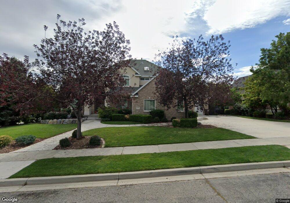
This home is located at 665 W 600 N, Alpine, UT 84004 and is currently estimated at $1,972,300, approximately $342 per square foot. 665 W 600 N is a home located in Utah County with nearby schools including Westfield School, Timberline Middle School, and Lone Peak High School.
Ownership History
We collect this data history from publicly available records. To have your information removed, we recommend requesting removal directly through your county’s website.
Purchase Details
Purchase Details
Home Financials for this Owner
Home Financials are based on the most recent Mortgage that was taken out on this home.Purchase Details
Home Financials for this Owner
Home Financials are based on the most recent Mortgage that was taken out on this home.Purchase Details
Home Financials for this Owner
Home Financials are based on the most recent Mortgage that was taken out on this home.Home Values in the Area
Average Home Value in this Area
Purchase History
We collect this data history from publicly available records. To have your information removed, we recommend requesting removal directly through your county’s website.
| Date | Buyer | Sale Price | Title Company |
|---|---|---|---|
| -- | United West Title | ||
| -- | Accommodation | ||
| -- | Accommodation | ||
| -- | -- | ||
| -- | First American Title |
Mortgage History
We collect this data history from publicly available records. To have your information removed, we recommend requesting removal directly through your county’s website.
| Date | Status | Borrower | Loan Amount |
|---|---|---|---|
| Previous Owner | $850,000 | ||
| Previous Owner | $460,000 | ||
| Previous Owner | $387,500 |
Tax History
We collect this data history from publicly available records. To have your information removed, we recommend requesting removal directly through your county’s website.
| Year | Tax Paid | Tax Assessment Tax Assessment Total Assessment is a certain percentage of the fair market value that is determined by local assessors to be the total taxable value of land and additions on the property. | Land | Improvement |
|---|---|---|---|---|
| 2026 | $6,732 | $789,085 | ||
| 2025 | $6,463 | $800,910 | ||
| 2024 | $6,463 | $753,280 | $0 | $0 |
| 2023 | $5,969 | $746,845 | $0 | $0 |
| 2022 | $6,217 | $755,480 | $0 | $0 |
| 2021 | $4,759 | $898,400 | $418,100 | $480,300 |
| 2020 | $4,657 | $860,400 | $380,100 | $480,300 |
| 2019 | $4,259 | $821,400 | $341,100 | $480,300 |
| 2018 | $4,106 | $782,400 | $321,600 | $460,800 |
| 2017 | $4,092 | $414,920 | $0 | $0 |
| 2016 | $3,785 | $357,830 | $0 | $0 |
| 2015 | $3,480 | $311,245 | $0 | $0 |
| 2014 | $3,146 | $278,355 | $0 | $0 |
Map
- 684 N Summit Way
- 501 W Devey Dr
- 591 N Pfeifferhorn Dr
- 12513 Timberline Dr
- 5886 W Timber Ridge Ln
- 351 Deerfield Dr
- 12527 N Wildflower Ln
- 248 Deerfield Dr
- 127 Bordeaux Ln
- 13 Sledhill Cir
- 100 E 100 N
- 12687 Ponce de Leon Dr Unit 18
- 7 E Elk Ct
- 840 N Main St
- 1765 Elk Ct Unit 14
- 12517 N Minots Ledge Dr
- 19 E Elk Ct
- 12177 N Shady Brook Ln
- 5852 W Century Heights Dr
- 12471 N Minots Ledge Dr Unit 533
- 633 Summit Way Unit 27
- 633 Summit Way
- 706 W Hog Hollow Rd
- 706 W 600 N
- 995 W 600 N Unit 21
- 572 W 600 N Unit 1
- 679 N Summit Way Unit 26
- 679 N Summit Way
- 646 W 600 N
- 646 W 600 N Unit 6
- 679 Summit Way
- 685 W 600 N
- 732 W 600 N
- 725 W 600 N
- 645 W 600 N
- 687 Summit Way
- 624 W 600 N
- 624 W 600 N Unit 5
- 707 Lakeview Dr
- 707 Lakeview Dr Unit 5
Ask me questions while you tour the home.