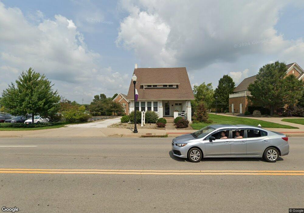
665 W State St Alliance, OH 44601
Estimated Value: $153,000 - $217,000
--
Bed
1
Bath
1,657
Sq Ft
$115/Sq Ft
Est. Value
About This Home
This home is located at 665 W State St, Alliance, OH 44601 and is currently estimated at $190,952, approximately $115 per square foot. 665 W State St is a home with nearby schools including Alliance Early Learning School, Alliance Intermediate School at Northside, and Alliance Middle School.
Ownership History
Date
Name
Owned For
Owner Type
Purchase Details
Closed on
Feb 29, 2000
Sold by
Brown S P Inc
Bought by
Hoopes Kenneth M and Hoopes Lora J
Current Estimated Value
Purchase Details
Closed on
Feb 15, 1990
Create a Home Valuation Report for This Property
The Home Valuation Report is an in-depth analysis detailing your home's value as well as a comparison with similar homes in the area
Home Values in the Area
Average Home Value in this Area
Purchase History
| Date | Buyer | Sale Price | Title Company |
|---|---|---|---|
| Hoopes Kenneth M | $80,000 | -- | |
| -- | $58,000 | -- |
Source: Public Records
Tax History Compared to Growth
Tax History
| Year | Tax Paid | Tax Assessment Tax Assessment Total Assessment is a certain percentage of the fair market value that is determined by local assessors to be the total taxable value of land and additions on the property. | Land | Improvement |
|---|---|---|---|---|
| 2025 | -- | $45,750 | $28,180 | $17,570 |
| 2024 | -- | $45,750 | $28,180 | $17,570 |
| 2023 | $2,020 | $38,120 | $23,490 | $14,630 |
| 2022 | $2,040 | $38,120 | $23,490 | $14,630 |
| 2021 | $2,030 | $38,120 | $23,490 | $14,630 |
| 2020 | $2,085 | $36,300 | $22,370 | $13,930 |
| 2019 | $2,034 | $36,300 | $22,370 | $13,930 |
| 2018 | $2,009 | $36,300 | $22,370 | $13,930 |
| 2017 | $1,296 | $22,660 | $7,530 | $15,130 |
| 2016 | $1,304 | $22,660 | $7,530 | $15,130 |
| 2015 | $657 | $22,660 | $7,530 | $15,130 |
| 2014 | $1,285 | $21,750 | $7,250 | $14,500 |
| 2013 | $637 | $21,750 | $7,250 | $14,500 |
Source: Public Records
Map
Nearby Homes
- 884 W College Rd
- 1515 S Rockhill Ave
- 2705 Shunk Ave
- 2372 S Union Ave
- 1321 Parkway Blvd
- 2405 Cherry Ave
- 112 E College St
- 2839 S Rockhill Ave
- 1136 Parkway Blvd
- 1059 Oakwood Dr
- 2112 Blenheim Ave
- 1475 Chatauqua Ct
- 549 Linwood Dr
- 317 E State St
- 2195 Blenheim Ave
- 970 Kingsway St
- 1038 Fairview Place
- 390 E College St
- 1201 Overlook Dr
- 236 E Milton St
- 670 W State St
- 614 W State St
- 724 Hartshorn St
- 2029 Belleflower Dr
- 0 Belleflower Dr Unit 3072247
- 736 Hartshorn St
- 2043 Belleflower Dr
- 2044 Ridgewood Ave
- 760 W State St
- 2030 Belleflower Dr
- 752 Hartshorn St
- 2031 Ridgewood Ave
- 2040 Belleflower Dr
- 2109 Belleflower Dr
- 2100 Ridgewood Ave
- 2031 Shunk Ave
- 2121 Belleflower Dr
- 2120 Ridgewood Ave
- 2105 Ridgewood Ave
- 2100 Belleflower Dr