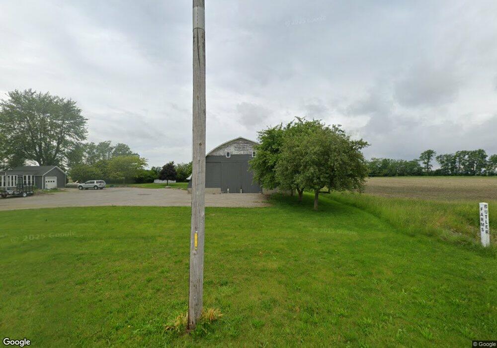
6650 Liberty Union Rd van Wert, OH 45891
Estimated Value: $242,000 - $288,000
3
Beds
2
Baths
1,944
Sq Ft
$134/Sq Ft
Est. Value
About This Home
This home is located at 6650 Liberty Union Rd, van Wert, OH 45891 and is currently estimated at $260,099, approximately $133 per square foot. 6650 Liberty Union Rd is a home located in Van Wert County with nearby schools including Crestview Elementary School and Crestview High School.
Ownership History
Date
Name
Owned For
Owner Type
Purchase Details
Closed on
Oct 6, 2015
Sold by
Eickholt Brenda S and Johnson Cindy A
Bought by
Fishpaw Eric R
Current Estimated Value
Home Financials for this Owner
Home Financials are based on the most recent Mortgage that was taken out on this home.
Original Mortgage
$156,750
Outstanding Balance
$123,162
Interest Rate
3.84%
Mortgage Type
New Conventional
Estimated Equity
$136,937
Purchase Details
Closed on
Nov 25, 2011
Bought by
Eickholt Brenda S
Purchase Details
Closed on
Oct 9, 2010
Bought by
Fishpaw Eric R
Create a Home Valuation Report for This Property
The Home Valuation Report is an in-depth analysis detailing your home's value as well as a comparison with similar homes in the area
Home Values in the Area
Average Home Value in this Area
Purchase History
| Date | Buyer | Sale Price | Title Company |
|---|---|---|---|
| Fishpaw Eric R | $165,000 | Attorney | |
| Eickholt Brenda S | $127,000 | -- | |
| Fishpaw Eric R | $165,000 | -- |
Source: Public Records
Mortgage History
| Date | Status | Borrower | Loan Amount |
|---|---|---|---|
| Open | Fishpaw Eric R | $156,750 |
Source: Public Records
Tax History Compared to Growth
Tax History
| Year | Tax Paid | Tax Assessment Tax Assessment Total Assessment is a certain percentage of the fair market value that is determined by local assessors to be the total taxable value of land and additions on the property. | Land | Improvement |
|---|---|---|---|---|
| 2024 | $1,871 | $61,910 | $9,560 | $52,350 |
| 2023 | $1,871 | $61,910 | $9,560 | $52,350 |
| 2022 | $1,761 | $45,990 | $7,420 | $38,570 |
| 2021 | $1,766 | $45,990 | $7,420 | $38,570 |
| 2020 | $1,760 | $45,990 | $7,420 | $38,570 |
| 2019 | $1,435 | $40,700 | $6,500 | $34,200 |
| 2018 | $1,427 | $40,700 | $6,500 | $34,200 |
| 2017 | $1,298 | $40,700 | $6,500 | $34,200 |
| 2016 | $1,178 | $37,610 | $6,500 | $31,110 |
| 2015 | $1,141 | $36,820 | $6,500 | $30,320 |
| 2014 | $1,178 | $37,100 | $6,500 | $30,600 |
| 2013 | $1,294 | $37,100 | $6,500 | $30,600 |
Source: Public Records
Map
Nearby Homes
- 0 Terry Rd
- 9952 Lincoln Hwy
- 8399 Hook Rd
- 12282 Union Pleasant Rd
- 1006 Kear Rd
- 902 Kear Rd
- 829 Allingham St
- 9188 John Brown Rd Unit Lot 37
- 9188 John Brown Rd Unit Lot 7
- 9188 John Brown Rd Unit LOT 60
- 9188 John Brown Rd Unit LOT 15
- 603 Pewterboy Ave
- 1421 Krendl Dr
- 1055 Westchester Ct
- 218 Burt St
- 1028 Westchester Ct
- 1213 David St
- 103 Bonnewitz Ave
- 331 North St
- 304 Anderson Ave
- 6878 Liberty Union
- 6878 Liberty Union Rd
- 6308 Liberty Union Rd
- 10079 Union Pleasant Rd
- SEC. 1 Union Pleasant Rd
- 10129 Union Pleasant Rd
- 10179 Union Pleasant Rd
- 10225 Union Pleasant Rd
- 6101 Liberty Union Rd
- 0 Liberty Union Rd
- 10021 Convoy Rd
- 5966 Liberty Union Rd
- 10481 Convoy Rd
- 9439 Convoy Rd
- 10584 Convoy Rd
- 5767 Liberty Union Rd
- 9310 Convoy Rd