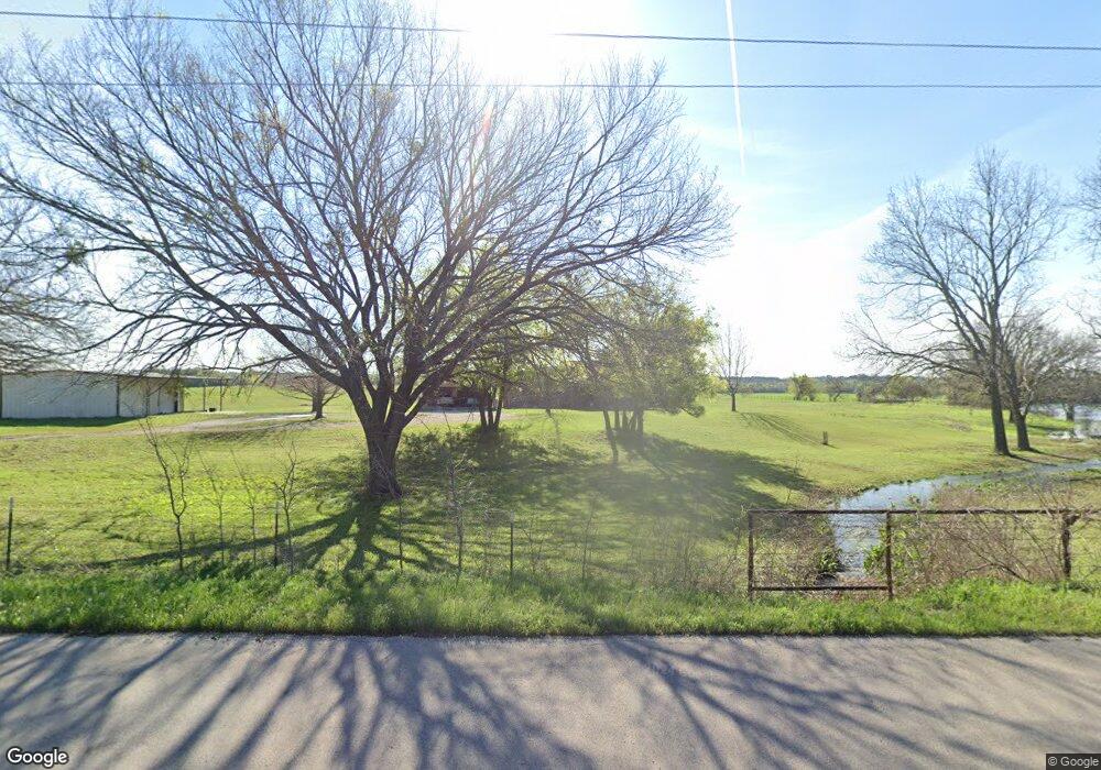
6651 Old Brock Rd Weatherford, TX 76087
Estimated Value: $347,172 - $596,000
--
Bed
--
Bath
1,586
Sq Ft
$271/Sq Ft
Est. Value
About This Home
This home is located at 6651 Old Brock Rd, Weatherford, TX 76087 and is currently estimated at $430,043, approximately $271 per square foot. 6651 Old Brock Rd is a home located in Parker County with nearby schools including Brock Intermediate School, Brock Junior High School, and Brock High School.
Ownership History
Date
Name
Owned For
Owner Type
Purchase Details
Closed on
Jun 8, 2016
Bought by
Ranspot Jowell L
Current Estimated Value
Home Financials for this Owner
Home Financials are based on the most recent Mortgage that was taken out on this home.
Original Mortgage
$78,697
Outstanding Balance
$62,817
Interest Rate
3.66%
Estimated Equity
$367,226
Purchase Details
Closed on
Dec 15, 2005
Sold by
Ranspot Lowell and Ranspot Judy
Bought by
Ranspot Jowell
Create a Home Valuation Report for This Property
The Home Valuation Report is an in-depth analysis detailing your home's value as well as a comparison with similar homes in the area
Home Values in the Area
Average Home Value in this Area
Purchase History
| Date | Buyer | Sale Price | Title Company |
|---|---|---|---|
| Ranspot Jowell L | -- | -- | |
| Ranspot Jowell | -- | None Available |
Source: Public Records
Mortgage History
| Date | Status | Borrower | Loan Amount |
|---|---|---|---|
| Open | Ranspot Jowell L | $78,697 | |
| Closed | Ranspot Jowell L | -- |
Source: Public Records
Tax History Compared to Growth
Tax History
| Year | Tax Paid | Tax Assessment Tax Assessment Total Assessment is a certain percentage of the fair market value that is determined by local assessors to be the total taxable value of land and additions on the property. | Land | Improvement |
|---|---|---|---|---|
| 2025 | $5,885 | $372,980 | $47,790 | $325,190 |
| 2024 | $5,885 | $318,090 | $47,390 | $270,700 |
| 2023 | $5,885 | $318,090 | $47,390 | $270,700 |
| 2022 | $4,307 | $212,130 | $23,440 | $188,690 |
| 2021 | $4,529 | $212,130 | $23,440 | $188,690 |
| 2020 | $4,302 | $198,770 | $25,950 | $172,820 |
| 2019 | $4,633 | $198,770 | $25,950 | $172,820 |
| 2018 | $4,322 | $184,610 | $18,380 | $166,230 |
| 2017 | $4,247 | $184,610 | $18,380 | $166,230 |
| 2016 | $3,469 | $150,790 | $14,580 | $136,210 |
| 2015 | $3,425 | $150,790 | $14,580 | $136,210 |
| 2014 | $3,292 | $143,460 | $13,990 | $129,470 |
Source: Public Records
Map
Nearby Homes
- 205 Pinnacle Peak Ln
- 197 Pinnacle Peak Ln
- 162 Pinnacle Peak Ln
- 1051 Kingsley Ct
- 150 Top Flight Dr
- 113 Laser Ln
- 123 Club House Dr
- 103 Patrick Creek Rd
- 304 Red Roan Ridge
- 2042 Verona Dr
- 2053 Verona Dr
- 000 Dennis Rd
- 234 Trail Ridge
- TBA Old Brock Rd
- 1060 Kessler Rd
- 313 Canyon Creek Cir
- 400 Timber Wild Dr
- 2030 Verona Dr
- 2026 Verona Dr
- 393 Canyon Creek Cir
- 101 Signature Ct
- 105 Signature Ct
- 110 Signature Ct
- 128 Signature Ct
- L20 Signature Ct
- 21 Signature Ct
- 20 Signature Ct
- 18 Signature Ct
- 11 Signature Ct
- 10 Signature Ct
- 9 Signature Ct
- 12 Signature Ct
- 16 Signature Ct
- 7 Titelist Dr
- 1 Titelist Dr
- 2 Titelist Dr
- 116 Signature Ct
- 6501 Old Brock Rd
- LOT 4 BLOCK 6 Titelist Dr
- 6 Titelist Dr