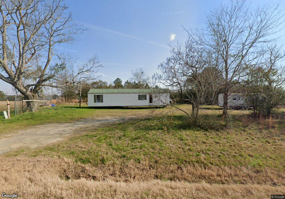
6652 Ga Highway 46 Soperton, GA 30457
Estimated Value: $50,000 - $70,000
--
Bed
--
Bath
1,040
Sq Ft
$57/Sq Ft
Est. Value
About This Home
This home is located at 6652 Ga Highway 46, Soperton, GA 30457 and is currently estimated at $59,701, approximately $57 per square foot. 6652 Ga Highway 46 is a home with nearby schools including Treutlen Elementary School and Treutlen Middle/High School.
Ownership History
Date
Name
Owned For
Owner Type
Purchase Details
Closed on
Oct 23, 2020
Sold by
Toler Janice B
Bought by
Thompson Cindy Lynn
Current Estimated Value
Purchase Details
Closed on
Jun 10, 2019
Sold by
Jordan Joe R
Bought by
Toler Janice B
Purchase Details
Closed on
Apr 1, 1994
Sold by
Lawerence Roscoe L
Bought by
Jordan Joe R and Jordan Jr
Purchase Details
Closed on
Jul 24, 1993
Sold by
Lawrence Roscoe L
Bought by
Lawerence Roscoe L
Purchase Details
Closed on
Nov 4, 1992
Sold by
Lawerence Roscoe L
Bought by
Lawerence James E
Purchase Details
Closed on
May 10, 1978
Bought by
Lawerence Roscoe L
Purchase Details
Closed on
May 3, 1978
Sold by
Lawerence James E
Bought by
Lawrence Roscoe L
Create a Home Valuation Report for This Property
The Home Valuation Report is an in-depth analysis detailing your home's value as well as a comparison with similar homes in the area
Home Values in the Area
Average Home Value in this Area
Purchase History
| Date | Buyer | Sale Price | Title Company |
|---|---|---|---|
| Thompson Cindy Lynn | -- | -- | |
| Toler Janice B | -- | -- | |
| Jordan Joe R | $7,300 | -- | |
| Lawerence Roscoe L | -- | -- | |
| Lawerence James E | $7,000 | -- | |
| Lawerence Roscoe L | -- | -- | |
| Lawrence Roscoe L | $7,000 | -- |
Source: Public Records
Tax History Compared to Growth
Tax History
| Year | Tax Paid | Tax Assessment Tax Assessment Total Assessment is a certain percentage of the fair market value that is determined by local assessors to be the total taxable value of land and additions on the property. | Land | Improvement |
|---|---|---|---|---|
| 2024 | $87 | $2,800 | $1,440 | $1,360 |
| 2023 | $78 | $2,800 | $1,440 | $1,360 |
| 2022 | $76 | $2,800 | $1,440 | $1,360 |
| 2021 | $84 | $3,120 | $1,440 | $1,680 |
| 2020 | $84 | $3,120 | $1,440 | $1,680 |
| 2019 | $92 | $3,120 | $1,440 | $1,680 |
| 2018 | $152 | $5,160 | $1,440 | $3,720 |
| 2017 | $15 | $5,160 | $1,440 | $3,720 |
| 2016 | $15 | $5,160 | $1,440 | $3,720 |
| 2015 | -- | $5,160 | $1,440 | $3,720 |
| 2014 | -- | $5,160 | $1,440 | $3,720 |
| 2013 | -- | $5,520 | $1,800 | $3,720 |
Source: Public Records
Map
Nearby Homes
- 0 Cedar Grove Rd
- 0 Oak Ridge Dr
- 3395 Mount Vernon Rd
- 7586 Eastman Rd
- 1785 Martin Luther King jr Dr
- 4687 W Main St
- 46 Georgia 46
- 00 Rivoli Clay Rd
- 0 Rivoli Clay Rd
- 4004 E Louisiana Ave
- 1936 Cedar Grove Rd
- 4281 Ga Highway 46
- 4281 Sr-46
- 0 County Line Rd Unit n/a 113727
- 435 Georgia 29
- 95 Railroad Ave
- 2166 Ga Highway 199
- 0 Muskogee Trail Unit 25917
- 0 Muskogee Trail Unit LOT 78 20128125
- 3256 Georgia 29