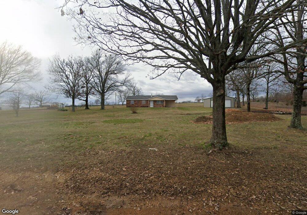
6652 N 520 Rd Tahlequah, OK 74464
Estimated Value: $101,730 - $204,000
3
Beds
1
Bath
1,040
Sq Ft
$127/Sq Ft
Est. Value
About This Home
This home is located at 6652 N 520 Rd, Tahlequah, OK 74464 and is currently estimated at $131,683, approximately $126 per square foot. 6652 N 520 Rd is a home located in Cherokee County with nearby schools including Lowrey School.
Ownership History
Date
Name
Owned For
Owner Type
Purchase Details
Closed on
Jul 15, 2024
Sold by
Kramer William S
Bought by
Bridges Scott
Current Estimated Value
Purchase Details
Closed on
Jun 26, 2014
Sold by
Kramer William Scott
Bought by
Kramer Harry V and Kramer Gertude L
Purchase Details
Closed on
May 17, 2010
Sold by
Kramer William S
Bought by
Kramer Harry V and Kramer Gertiude
Purchase Details
Closed on
Jan 24, 1996
Sold by
Comingdeer C E
Bought by
William S Kramer
Create a Home Valuation Report for This Property
The Home Valuation Report is an in-depth analysis detailing your home's value as well as a comparison with similar homes in the area
Home Values in the Area
Average Home Value in this Area
Purchase History
| Date | Buyer | Sale Price | Title Company |
|---|---|---|---|
| Bridges Scott | $26,000 | None Listed On Document | |
| Kramer Harry V | -- | None Available | |
| Kramer Harry V | -- | None Available | |
| William S Kramer | $43,500 | -- |
Source: Public Records
Tax History Compared to Growth
Tax History
| Year | Tax Paid | Tax Assessment Tax Assessment Total Assessment is a certain percentage of the fair market value that is determined by local assessors to be the total taxable value of land and additions on the property. | Land | Improvement |
|---|---|---|---|---|
| 2025 | $614 | $8,030 | $550 | $7,480 |
| 2024 | $436 | $5,639 | $442 | $5,197 |
| 2023 | $436 | $5,370 | $421 | $4,949 |
| 2022 | $401 | $5,115 | $395 | $4,720 |
| 2021 | $380 | $4,871 | $376 | $4,495 |
| 2020 | $332 | $4,639 | $358 | $4,281 |
| 2019 | $352 | $4,418 | $341 | $4,077 |
| 2018 | $337 | $4,208 | $325 | $3,883 |
| 2017 | $325 | $4,008 | $268 | $3,740 |
| 2016 | $310 | $3,818 | $157 | $3,661 |
| 2015 | $253 | $3,636 | $550 | $3,086 |
| 2014 | $241 | $3,463 | $550 | $2,913 |
Source: Public Records
Map
Nearby Homes
- 0 N 510 Rd Unit 2543283
- 0 N 510 Rd Unit 2543284
- 0 N 510 Rd Unit 2543190
- 0 N 510 Rd Unit 2547590
- 0 N 510 Rd Unit 2543294
- 0 N 510 Rd Unit 2543293
- 0 N 510 Rd Unit 2546232
- 0 N 510 Rd Unit 2543297
- 8195 Hwy 82 A
- 00000 E 660 Rd
- 8119 N 544 Rd
- 4422 Highway 82a
- 7002 N 559 Rd
- 16246 E 647 Rd
- 7373 N 485 Rd
- 17844 E 688 Rd
- 14000 Highway 82c
- 11077 N Elm Grove Rd
- 11457 N 510 Rd
- 8268 N Shiloh Rd