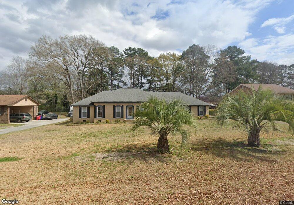
6654 Fran Dr Unit 167 Macon, GA 31216
Estimated Value: $224,362 - $256,000
3
Beds
2
Baths
2,023
Sq Ft
$120/Sq Ft
Est. Value
About This Home
This home is located at 6654 Fran Dr Unit 167, Macon, GA 31216 and is currently estimated at $242,841, approximately $120 per square foot. 6654 Fran Dr Unit 167 is a home located in Bibb County with nearby schools including Heard Elementary School, Rutland Middle School, and Rutland High School.
Ownership History
Date
Name
Owned For
Owner Type
Purchase Details
Closed on
Jul 27, 2017
Sold by
White Marion W and White Pauline G
Bought by
Railing Antonio T
Current Estimated Value
Home Financials for this Owner
Home Financials are based on the most recent Mortgage that was taken out on this home.
Original Mortgage
$132,554
Outstanding Balance
$109,801
Interest Rate
3.87%
Mortgage Type
FHA
Estimated Equity
$133,040
Purchase Details
Closed on
Mar 22, 2002
Sold by
White Pauline G
Bought by
White Marion W and White Pauline G
Create a Home Valuation Report for This Property
The Home Valuation Report is an in-depth analysis detailing your home's value as well as a comparison with similar homes in the area
Home Values in the Area
Average Home Value in this Area
Purchase History
| Date | Buyer | Sale Price | Title Company |
|---|---|---|---|
| Railing Antonio T | $135,000 | None Available | |
| Railing Antonio T | $135,000 | None Available | |
| White Marion W | -- | -- | |
| White Marion W | -- | -- |
Source: Public Records
Mortgage History
| Date | Status | Borrower | Loan Amount |
|---|---|---|---|
| Open | Railing Antonio T | $132,554 |
Source: Public Records
Tax History Compared to Growth
Tax History
| Year | Tax Paid | Tax Assessment Tax Assessment Total Assessment is a certain percentage of the fair market value that is determined by local assessors to be the total taxable value of land and additions on the property. | Land | Improvement |
|---|---|---|---|---|
| 2025 | $1,571 | $70,929 | $9,100 | $61,829 |
| 2024 | $1,624 | $70,929 | $9,100 | $61,829 |
| 2023 | $1,166 | $70,929 | $9,100 | $61,829 |
| 2022 | $1,960 | $63,605 | $8,330 | $55,275 |
| 2021 | $2,151 | $63,605 | $8,330 | $55,275 |
| 2020 | $2,198 | $63,605 | $8,330 | $55,275 |
| 2019 | $2,145 | $61,806 | $8,330 | $53,476 |
| 2018 | $2,998 | $58,656 | $8,330 | $50,326 |
| 2017 | $1,691 | $59,295 | $8,330 | $50,965 |
| 2016 | $1,591 | $60,432 | $9,996 | $50,436 |
| 2015 | $2,255 | $60,432 | $9,996 | $50,436 |
| 2014 | $2,256 | $60,432 | $9,996 | $50,436 |
Source: Public Records
Map
Nearby Homes
- 6654 Fran Dr
- 6662 Fran Dr
- 6652 Fran Dr
- 0 Fran Dr Unit 8583468
- 0 Fran Dr Unit 9005557
- 0 Fran Dr Unit 8783456
- 0 Fran Dr Unit 3079570
- 0 Fran Dr Unit 3267804
- 0 Fran Dr Unit 7070321
- 6427 Whitepine Dr
- 6670 Fran Dr
- 6439 Whitepine Dr
- 6415 Whitepine Dr
- 6642 Fran Dr
- 6451 Whitepine Dr
- 6653 Fran Dr
- 6661 Fran Dr
- 6405 Whitepine Dr
- 0 White Pine Dr Unit 8075201
- 0 White Pine Dr Unit 7351708