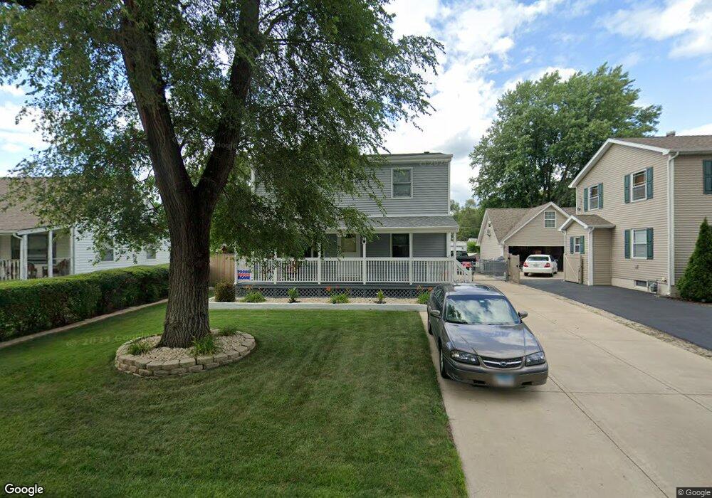
6654 Hubbard Ln Tinley Park, IL 60477
Parkside-Bedford Park NeighborhoodEstimated Value: $293,000 - $386,000
4
Beds
3
Baths
1,530
Sq Ft
$224/Sq Ft
Est. Value
About This Home
This home is located at 6654 Hubbard Ln, Tinley Park, IL 60477 and is currently estimated at $342,707, approximately $223 per square foot. 6654 Hubbard Ln is a home located in Cook County with nearby schools including Fulton Elementary School, Central Middle School, and Tinley Park High School.
Ownership History
Date
Name
Owned For
Owner Type
Purchase Details
Closed on
Jan 11, 2024
Sold by
Benker Michael
Bought by
Michael Benker Trust and Benker
Current Estimated Value
Purchase Details
Closed on
Sep 25, 2001
Sold by
Bryant John K and Bryant Judith C
Bought by
Benker Michael D
Home Financials for this Owner
Home Financials are based on the most recent Mortgage that was taken out on this home.
Original Mortgage
$144,600
Interest Rate
6.72%
Create a Home Valuation Report for This Property
The Home Valuation Report is an in-depth analysis detailing your home's value as well as a comparison with similar homes in the area
Home Values in the Area
Average Home Value in this Area
Purchase History
| Date | Buyer | Sale Price | Title Company |
|---|---|---|---|
| Michael Benker Trust | -- | None Listed On Document | |
| Benker Michael D | $147,000 | Chicago Title Insurance Co |
Source: Public Records
Mortgage History
| Date | Status | Borrower | Loan Amount |
|---|---|---|---|
| Previous Owner | Benker Michael D | $144,600 |
Source: Public Records
Tax History Compared to Growth
Tax History
| Year | Tax Paid | Tax Assessment Tax Assessment Total Assessment is a certain percentage of the fair market value that is determined by local assessors to be the total taxable value of land and additions on the property. | Land | Improvement |
|---|---|---|---|---|
| 2024 | $9,417 | $27,337 | $3,591 | $23,746 |
| 2023 | $5,593 | $31,000 | $3,591 | $27,409 |
| 2022 | $5,593 | $16,551 | $3,192 | $13,359 |
| 2021 | $5,574 | $16,551 | $3,192 | $13,359 |
| 2020 | $5,626 | $16,551 | $3,192 | $13,359 |
| 2019 | $5,615 | $16,765 | $2,992 | $13,773 |
| 2018 | $5,554 | $16,765 | $2,992 | $13,773 |
| 2017 | $5,616 | $16,765 | $2,992 | $13,773 |
| 2016 | $5,539 | $15,298 | $2,593 | $12,705 |
| 2015 | $5,378 | $15,298 | $2,593 | $12,705 |
| 2014 | $5,342 | $15,298 | $2,593 | $12,705 |
| 2013 | $5,329 | $16,543 | $2,593 | $13,950 |
Source: Public Records
Map
Nearby Homes
- 16903 Oak Park Ave
- 6666 Ravinia Dr
- 6815 169th St
- 16957 Sayre Ave
- 6337 Carlsbad Dr Unit 2
- 7025 167th St Unit B
- 16966 Forest Glen Dr
- 16961 Forest Glen Dr
- 7124 168th St
- 17223 69th Ave
- LINCOLN Plan at Oak Ridge - Townhomes
- GARFIELD Plan at Oak Ridge - Townhomes
- 6931 Coachwood Trail
- 16726 Westwind Ct
- 17218 Ridgeland Ave Unit 3-S
- 16411 Oxford Dr
- HENLEY Plan at Oak Ridge - Traditional Single Family
- COVENTRY Plan at Oak Ridge - Traditional Single Family
- FAIRFIELD Plan at Oak Ridge - Traditional Single Family
- Bellamy Plan at Oak Ridge - Traditional Single Family
- 6648 Hubbard Ln
- 6660 Hubbard Ln
- 6642 Hubbard Ln
- 6666 Hubbard Ln
- 6651 Riverside Dr
- 6657 Riverside Dr
- 6636 Hubbard Ln
- 6661 Hubbard Ln
- 6655 Hubbard Ln
- 16843 Elm Lane Dr
- 6639 Riverside Dr
- 16871 Elm Lane Dr
- 6667 Hubbard Ln
- 16837 Elm Lane Dr
- 6663 Riverside Dr
- 6630 Hubbard Ln
- 6643 Hubbard Ln
- 6633 Riverside Dr
- 16901 Elm Lane Dr
- 6637 Hubbard Ln