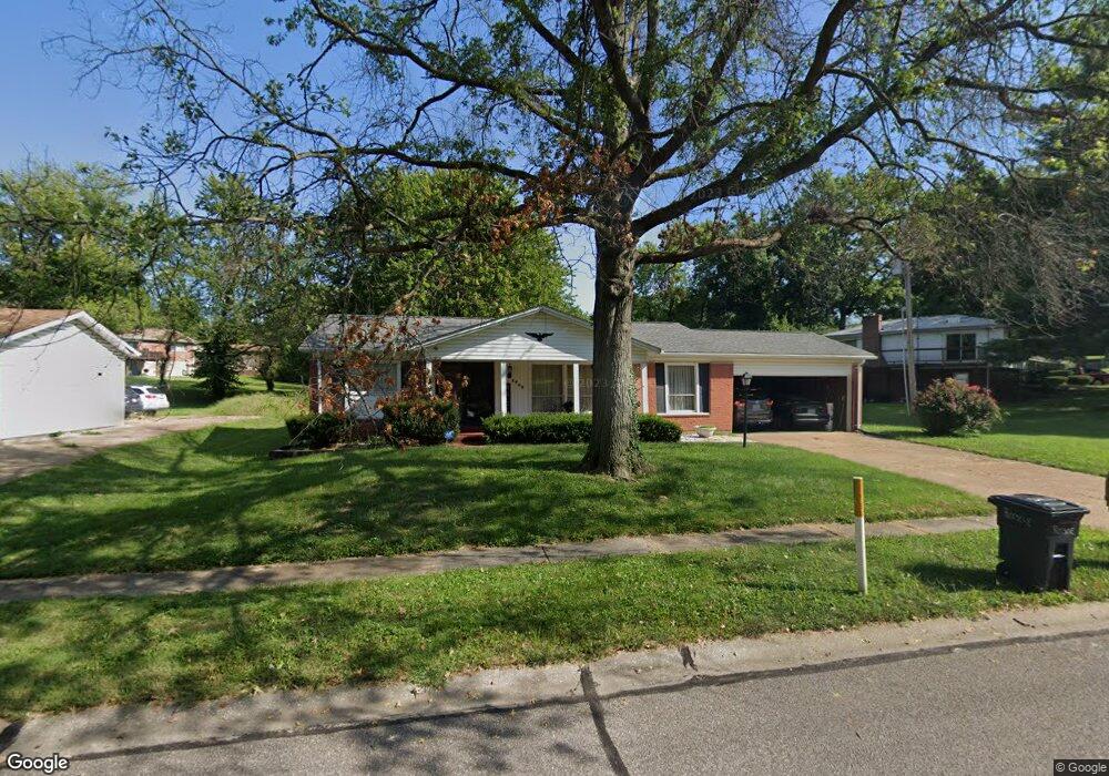
6655 Dallavis Dr Florissant, MO 63033
Estimated Value: $209,076 - $252,000
3
Beds
3
Baths
1,520
Sq Ft
$152/Sq Ft
Est. Value
About This Home
This home is located at 6655 Dallavis Dr, Florissant, MO 63033 and is currently estimated at $231,519, approximately $152 per square foot. 6655 Dallavis Dr is a home located in St. Louis County with nearby schools including Townsend Elementary School, Central Middle School, and Hazelwood Central High School.
Ownership History
Date
Name
Owned For
Owner Type
Purchase Details
Closed on
Jun 29, 2009
Sold by
Basich Martin
Bought by
Spears Derek J
Current Estimated Value
Home Financials for this Owner
Home Financials are based on the most recent Mortgage that was taken out on this home.
Original Mortgage
$110,461
Outstanding Balance
$72,092
Interest Rate
5.39%
Mortgage Type
FHA
Estimated Equity
$159,427
Create a Home Valuation Report for This Property
The Home Valuation Report is an in-depth analysis detailing your home's value as well as a comparison with similar homes in the area
Home Values in the Area
Average Home Value in this Area
Purchase History
| Date | Buyer | Sale Price | Title Company |
|---|---|---|---|
| Spears Derek J | -- | None Available | |
| Spears Derek J | $112,500 | None Available |
Source: Public Records
Mortgage History
| Date | Status | Borrower | Loan Amount |
|---|---|---|---|
| Open | Spears Derek J | $110,461 | |
| Closed | Spears Derek J | $110,461 |
Source: Public Records
Tax History Compared to Growth
Tax History
| Year | Tax Paid | Tax Assessment Tax Assessment Total Assessment is a certain percentage of the fair market value that is determined by local assessors to be the total taxable value of land and additions on the property. | Land | Improvement |
|---|---|---|---|---|
| 2025 | $2,860 | $35,040 | $4,640 | $30,400 |
| 2024 | $2,860 | $31,640 | $3,230 | $28,410 |
| 2023 | $2,850 | $31,640 | $3,230 | $28,410 |
| 2022 | $2,620 | $25,860 | $8,060 | $17,800 |
| 2021 | $2,479 | $25,860 | $8,060 | $17,800 |
| 2020 | $2,556 | $24,850 | $6,040 | $18,810 |
| 2019 | $2,535 | $24,850 | $6,040 | $18,810 |
| 2018 | $2,484 | $22,510 | $4,140 | $18,370 |
| 2017 | $2,481 | $22,510 | $4,140 | $18,370 |
| 2016 | $2,023 | $18,010 | $3,360 | $14,650 |
| 2015 | $1,977 | $18,010 | $3,360 | $14,650 |
| 2014 | $1,747 | $15,810 | $4,790 | $11,020 |
Source: Public Records
Map
Nearby Homes
- 11760 Sheffield Dr
- 6530 Farm Pond Ct
- 6250 Pennyrich Ct
- 11757 Vizcuya Ct
- 12136 La Padera Ln
- 11774 El Somo Ct
- 12065 El Camara Dr
- 12095 El Camara Dr
- 11440 Sheffield Dr
- 12320 Missile Ln
- 6480 Hadden Bay Dr
- 11905 Rosevalley Ln
- 11951 Jerries Ln
- 6320 Hadden Bay Dr
- 1911 Redman Rd
- 12292 Jerries Ln
- 11377 Fox Hall Ln
- 6587 Dolphin Cir E Unit 110B
- 2291 Redman Rd
- 17 Nob Hill Dr
- 6645 Dallavis Dr
- 6675 Dallavis Dr
- 11835 N Ranch Dr
- 11830 Sheffield Dr
- 11800 Sheffield Dr
- 6630 Dallavis Dr
- 6650 Dallavis Dr
- 6670 Dallavis Dr
- 6620 Dallavis Dr
- 11810 Sheffield Dr
- 11855 N Ranch Dr
- 11840 Sheffield Dr
- 11810 N Ranch Dr
- 5 Glasgow Ct
- 11765 N Ranch Dr
- 11820 Sheffield Dr
- 11790 N Ranch Dr
- 11780 Sheffield Dr
- 11875 N Ranch Dr
- 6605 Dallavis Dr