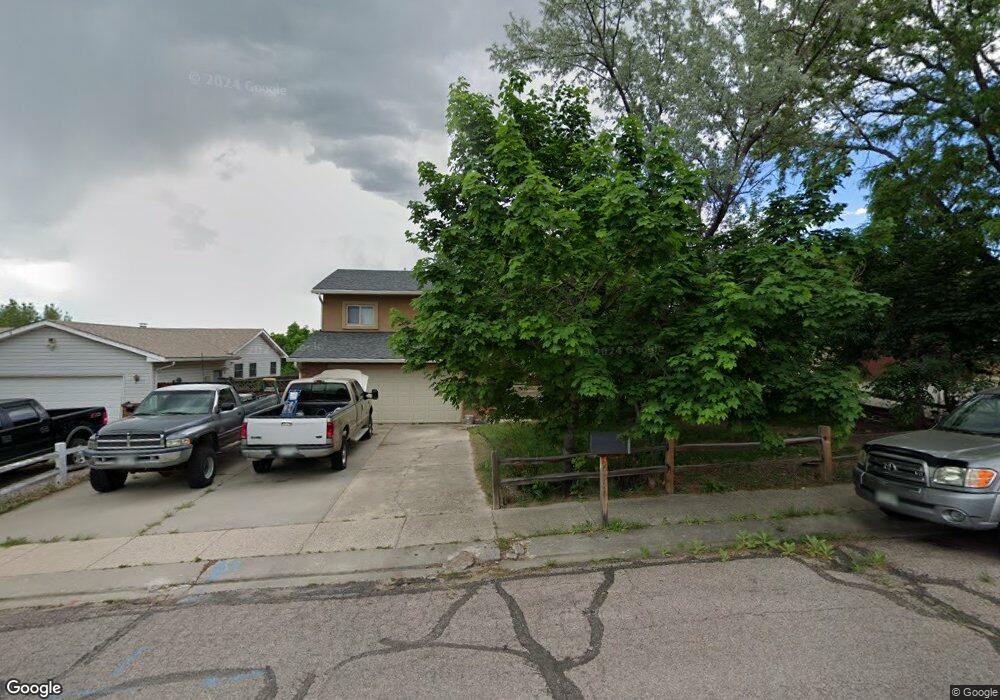
6656 Lange Cir Colorado Springs, CO 80918
Norwood NeighborhoodEstimated Value: $418,130 - $452,000
4
Beds
3
Baths
1,281
Sq Ft
$344/Sq Ft
Est. Value
About This Home
This home is located at 6656 Lange Cir, Colorado Springs, CO 80918 and is currently estimated at $440,283, approximately $343 per square foot. 6656 Lange Cir is a home located in El Paso County with nearby schools including King Elementary School, Russell Middle School, and Doherty High School.
Ownership History
Date
Name
Owned For
Owner Type
Purchase Details
Closed on
May 6, 2019
Sold by
Dewitt Kate
Bought by
Kate T Dewitt Trust
Current Estimated Value
Purchase Details
Closed on
Mar 18, 2009
Sold by
Wysocki Kate T and Dewitt Kate
Bought by
Dewitt Kate
Purchase Details
Closed on
Feb 6, 1996
Sold by
Wysocki Kate T and Wysocki Arnold J
Bought by
Wysocki Kate T
Purchase Details
Closed on
Jan 15, 1993
Bought by
Dewitt Kate
Purchase Details
Closed on
Nov 4, 1992
Bought by
Dewitt Kate
Purchase Details
Closed on
Nov 1, 1985
Bought by
Dewitt Kate
Purchase Details
Closed on
Dec 1, 1979
Bought by
Dewitt Kate
Create a Home Valuation Report for This Property
The Home Valuation Report is an in-depth analysis detailing your home's value as well as a comparison with similar homes in the area
Home Values in the Area
Average Home Value in this Area
Purchase History
| Date | Buyer | Sale Price | Title Company |
|---|---|---|---|
| Kate T Dewitt Trust | -- | None Available | |
| Dewitt Kate | -- | Cb Title | |
| Wysocki Kate T | -- | -- | |
| Dewitt Kate | -- | -- | |
| Dewitt Kate | -- | -- | |
| Dewitt Kate | -- | -- | |
| Dewitt Kate | -- | -- |
Source: Public Records
Tax History Compared to Growth
Tax History
| Year | Tax Paid | Tax Assessment Tax Assessment Total Assessment is a certain percentage of the fair market value that is determined by local assessors to be the total taxable value of land and additions on the property. | Land | Improvement |
|---|---|---|---|---|
| 2025 | $1,458 | $30,750 | -- | -- |
| 2024 | $977 | $30,660 | $5,700 | $24,960 |
| 2022 | $828 | $21,740 | $5,060 | $16,680 |
| 2021 | $898 | $22,370 | $5,210 | $17,160 |
| 2020 | $831 | $19,390 | $4,530 | $14,860 |
| 2019 | $826 | $19,390 | $4,530 | $14,860 |
| 2018 | $1,205 | $16,420 | $3,810 | $12,610 |
| 2017 | $1,141 | $16,420 | $3,810 | $12,610 |
| 2016 | $907 | $15,650 | $3,940 | $11,710 |
| 2015 | $904 | $15,650 | $3,940 | $11,710 |
| 2014 | $856 | $14,230 | $3,890 | $10,340 |
Source: Public Records
Map
Nearby Homes
- 6675 Lange Cir
- 6655 Lange Cir
- 6175 Montarbor Dr
- 6450 Fall River Dr
- 3223 Hearthridge Cir Unit 1005
- 3219 Hearthridge Cir Unit 1003
- 6152 Del Paz Dr
- 6345 Northwind Dr
- 3273 Hearthridge Cir Unit 102
- 3157 Hearthridge Cir
- 6028 Copper Mountain Dr
- 3520 Lost Hills Ct
- 6525 Montarbor Dr
- 3184 Dublin Blvd
- 3430 Honeyburyl Dr
- 6125 Northwind Dr
- 5926 Del Paz Dr
- 6660 Northwind Dr
- 2940 Purgatory Dr
- 3370 Bell Mountain Dr
- 6662 Lange Cir
- 6650 Lange Cir
- 6340 Montarbor Dr
- 6350 Montarbor Dr
- 6330 Montarbor Dr
- 6644 Lange Cir
- 6360 Montarbor Dr
- 6668 Lange Cir
- 6320 Montarbor Dr
- 6645 Lange Cir
- 6370 Montarbor Dr
- 6380 Montarbor Dr
- 6310 Montarbor Dr
- 6635 Lange Cir
- 6665 Lange Cir
- 6674 Lange Cir
- 6638 Lange Cir
- 6390 Montarbor Dr
- 6290 Montarbor Dr
- 6775 Lange Cir