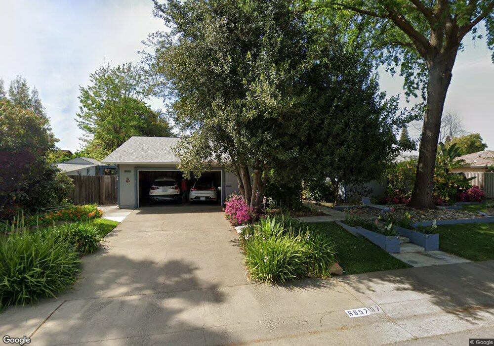
6657 Harmon Dr Sacramento, CA 95831
Pocket-Greenhaven NeighborhoodEstimated Value: $721,000 - $774,000
About This Home
This home is located at 6657 Harmon Dr, Sacramento, CA 95831 and is currently estimated at $746,090, approximately $341 per square foot. 6657 Harmon Dr is a home located in Sacramento County with nearby schools including Genevieve Didion School, Sam Brannan Middle School, and John F. Kennedy High School.
Ownership History
We collect this data history from publicly available records. To have your information removed, we recommend requesting removal directly through your county’s website.
Purchase Details
Purchase Details
Home Financials for this Owner
Home Financials are based on the most recent Mortgage that was taken out on this home.Home Values in the Area
Average Home Value in this Area
Purchase History
We collect this data history from publicly available records. To have your information removed, we recommend requesting removal directly through your county’s website.
| Date | Buyer | Sale Price | Title Company |
|---|---|---|---|
| -- | None Listed On Document | ||
| -- | None Listed On Document | ||
| $230,000 | Alliance Title Company |
Mortgage History
We collect this data history from publicly available records. To have your information removed, we recommend requesting removal directly through your county’s website.
| Date | Status | Borrower | Loan Amount |
|---|---|---|---|
| Previous Owner | $218,500 |
Tax History
We collect this data history from publicly available records. To have your information removed, we recommend requesting removal directly through your county’s website.
| Year | Tax Paid | Tax Assessment Tax Assessment Total Assessment is a certain percentage of the fair market value that is determined by local assessors to be the total taxable value of land and additions on the property. | Land | Improvement |
|---|---|---|---|---|
| 2025 | $4,783 | $385,470 | $117,718 | $267,752 |
| 2024 | $4,716 | $377,912 | $115,410 | $262,502 |
| 2023 | $4,598 | $370,503 | $113,148 | $257,355 |
| 2022 | $4,535 | $363,239 | $110,930 | $252,309 |
| 2021 | $4,318 | $356,117 | $108,755 | $247,362 |
| 2020 | $4,346 | $352,466 | $107,640 | $244,826 |
| 2019 | $4,254 | $345,556 | $105,530 | $240,026 |
| 2018 | $4,144 | $338,781 | $103,461 | $235,320 |
| 2017 | $4,083 | $332,139 | $101,433 | $230,706 |
| 2016 | $3,988 | $325,628 | $99,445 | $226,183 |
| 2015 | $3,925 | $320,738 | $97,952 | $222,786 |
| 2014 | $3,829 | $314,456 | $96,034 | $218,422 |
Map
- 6860 Pocket Rd
- 1 Sandhill Ct
- 283 Brewster Ave
- 7064 Riverside Blvd
- 6330 Grangers Dairy Dr
- 360 Bay River Way
- 556 Windward Way
- 210 Portinao Cir
- 10 Lookout Ct
- 712 Roundtree Ct
- 217 Roundtree Ct
- 6 Lookout Ct
- 506 Roundtree Ct
- 914 Roundtree Ct
- 622 Rivercrest Dr
- 20 Keel Ct
- 14 Rose River Ct
- 736 Shoreside Dr
- 9 Waters Cove Ct
- 31 Cavalcade Cir
- 6671 Harmon Dr
- 6643 Harmon Dr
- 6641 Benham Way
- 6625 Benham Way
- 6655 Benham Way
- 6658 Harmon Dr
- 6646 Harmon Dr
- 6660 Harmon Dr
- 6685 Harmon Dr
- 212 Riverbrook Way
- 6680 Harmon Dr
- 6611 Benham Way
- 6669 Benham Way
- 6640 Harmon Dr
- 208 Riverbrook Way
- 220 Riverbrook Way
- 6700 Harmon Dr
- 204 Riverbrook Way
- 224 Riverbrook Way
- 6701 Harmon Dr
Ask me questions while you tour the home.