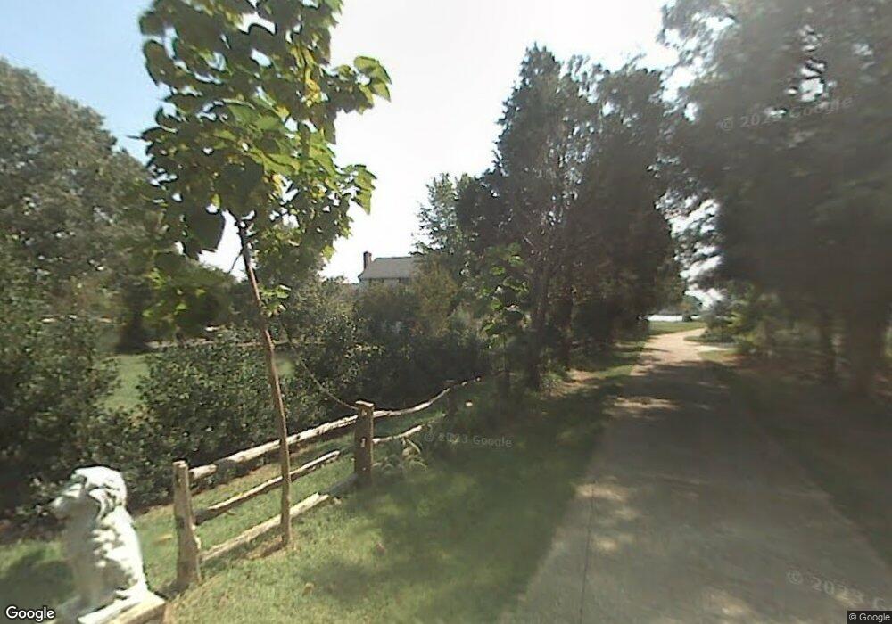
6659 Ls Island Ln Gloucester, VA 23061
Gloucester South NeighborhoodEstimated Value: $504,000 - $708,000
3
Beds
3
Baths
2,858
Sq Ft
$220/Sq Ft
Est. Value
About This Home
This home is located at 6659 Ls Island Ln, Gloucester, VA 23061 and is currently estimated at $629,935, approximately $220 per square foot. 6659 Ls Island Ln is a home located in Gloucester County with nearby schools including Botetourt Elementary School, Page Middle School, and Gloucester High School.
Ownership History
Date
Name
Owned For
Owner Type
Purchase Details
Closed on
Aug 11, 2025
Sold by
Lawrence Robert T and Lawrence Kimberly D
Bought by
Strack William Bennett and Strack Emily Lawrence
Current Estimated Value
Home Financials for this Owner
Home Financials are based on the most recent Mortgage that was taken out on this home.
Original Mortgage
$200,000
Outstanding Balance
$199,828
Interest Rate
6.75%
Mortgage Type
Credit Line Revolving
Estimated Equity
$430,107
Purchase Details
Closed on
Aug 6, 2024
Sold by
Lawrence Robert T and Lawrence Kimberly D
Bought by
Strack William Bennett and Strack Emily Lawrence
Create a Home Valuation Report for This Property
The Home Valuation Report is an in-depth analysis detailing your home's value as well as a comparison with similar homes in the area
Home Values in the Area
Average Home Value in this Area
Purchase History
| Date | Buyer | Sale Price | Title Company |
|---|---|---|---|
| Strack William Bennett | -- | First American Title | |
| Strack William Bennett | $500,000 | None Listed On Document |
Source: Public Records
Mortgage History
| Date | Status | Borrower | Loan Amount |
|---|---|---|---|
| Open | Strack William Bennett | $200,000 |
Source: Public Records
Tax History Compared to Growth
Tax History
| Year | Tax Paid | Tax Assessment Tax Assessment Total Assessment is a certain percentage of the fair market value that is determined by local assessors to be the total taxable value of land and additions on the property. | Land | Improvement |
|---|---|---|---|---|
| 2025 | $3,686 | $600,340 | $265,900 | $334,440 |
| 2024 | $3,686 | $595,530 | $265,900 | $329,630 |
| 2023 | $3,472 | $595,530 | $265,900 | $329,630 |
| 2022 | $3,666 | $505,680 | $234,570 | $271,110 |
| 2021 | $3,514 | $505,680 | $234,570 | $271,110 |
| 2020 | $3,514 | $505,680 | $234,570 | $271,110 |
| 2019 | $3,357 | $483,010 | $235,080 | $247,930 |
| 2017 | $3,357 | $483,010 | $235,080 | $247,930 |
| 2016 | $3,368 | $484,660 | $235,080 | $249,580 |
| 2015 | $3,296 | $495,600 | $188,000 | $307,600 |
| 2014 | $3,221 | $495,600 | $188,000 | $307,600 |
Source: Public Records
Map
Nearby Homes
- 7178 Ditchley Dr
- 6777 Ware Neck Rd
- 8418 Back Creek Rd
- 1AC Ditchley Dr
- 5AC Paynes Landing Rd
- 8194 Robins Neck Rd
- Lot 217 Ware Neck Rd
- Lot 218 Ware Neck Rd
- 0000 T C Walker Rd
- 7185 T C Walker Rd
- 9782 Anchorage Ln
- 6960 Hidden Brook Dr
- 6822 Enfield Rd
- 6887 Healy Ave
- 6915 Healy Ave
- 6723 Nolan Run
- 00 Mill Ln
- 1.97ac Mill Ln
- 6837 Ware House Rd
- 8038 Boxwood Ln
- 6659 Ls Island Ln Unit LANE
- 6677 Ls Island Ln
- 6666 Ls Island Ln
- 6650 Ls Island Ln
- 6688 Ls Island Ln
- 6634 Ls Island Ln
- 6655 Ls Island Ln
- 8343 Baileys Wharf Rd
- 8461 Baileys Wharf Rd
- 8375 Baileys Wharf Rd
- 6485 Ls Island Ln
- 6485 Ls Island Ln Unit LANE
- 8267 Baileys Wharf Rd
- 8473 Baileys Wharf Rd
- 8473 Baileys Wharf Rd
- 8193 Baileys Wharf Rd
- 8193 Baileys Wharf Rd
- 8477 Baileys Wharf Rd
- 8163 Baileys Wharf Rd
- 8412 Baileys Wharf Rd
